Cross Country Path
- 1.9 mi
- loop
- 103 ft
- climb
- 475 ft
- high point
- Loop
- route
- Mar–May, Sep–Nov
- best months
Clear today
Weather is good · OpenWeather · checked 11 h ago
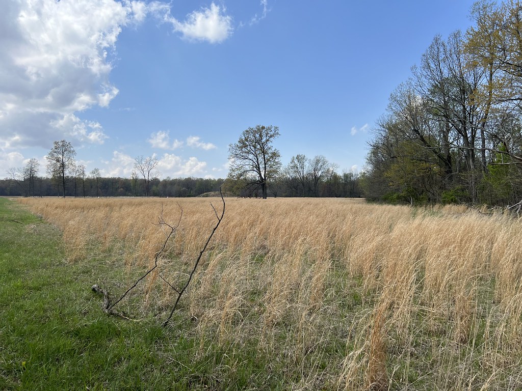
Cross Country Path is a 1.9-mile loop hike in Kentucky, about 2.5 miles from the town of West Hanson. The trail is rated easy, with a total elevation gain of 103 feet and a loss of about the same, so it works well as a short outing or a warm-up before heading to water. The route stays mostly flat, with the steepest stretch at about 1.8 miles in, where the grade reaches 5%. The high point is 475 feet, and the low point is 425 feet, so the climb is gentle and the whole loop is easy to fit into a day. Spring and fall are the most comfortable times to go. Typical averages from a nearby weather station in Madisonville show October highs around 72°F with lows near 50°F, and April is similar at about 72°F by day and 49°F at night. Summer highs typically reach the upper 80s. Paddlers will find several creeks within a short drive. Elk Creek is about 4.5 miles away, Otter Creek about 6.2 miles, and East Fork Deer Creek and Clear Creek are both roughly 8 miles off.
- Elk CreekCanoeing4.5 mi
- Otter CreekCanoeing6.2 mi
- East Fork Deer CreekCanoeing7.9 mi
- Clear CreekCanoeing8 mi
Source: Roamze catalog (indexable pages within 10 miles, PostGIS distance)
 Dugan Best Park TrailHiking · ~56 min drivePhoto: Steve Ryan from Groveland, California, United States, CC BY-SA 2.0 (via Wikimedia Commons)
 Angel Mounds Outer LoopHiking · ~1h 7m drivePhoto: «Gaurav», CC BY-SA 2.0 (via Flickr)
 Adt - Indiana (South) - H - Seg 5Hiking · ~1h 9m drivePhoto: «Gaurav», CC BY-SA 2.0 (via Flickr)
- Walking pathHiking · ~57 min drivePhoto: Steve Ryan from Groveland, California, United States, CC BY-SA 2.0 (via Wikimedia Commons)
- Blue TrailHiking · ~56 min drive
 Shadow TrailHiking · ~1h 6m drivePhoto: «Gaurav», CC BY-SA 2.0 (via Flickr)
- French Island TrailHiking · ~1h 4m drive
- Alcoa TrailHiking · ~1h 6m drivePhoto: «Gaurav», CC BY-SA 2.0 (via Flickr)
 Martin TrailHiking · ~1h 7m drivePhoto: «Gaurav», CC BY-SA 2.0 (via Flickr)
- Paiges TrailHiking · ~1h 7m drivePhoto: «Gaurav», CC BY-SA 2.0 (via Flickr)
Best time to visit Cross Country Path
Best months: March–May and September–November. Best months have typical highs of 55–85 °F, lows of 30 °F or warmer (32 °F where the station doesn't record snow), at most one snowy day and no more than 12 wet days.
Jan
45° / 28°
11 wet
Feb
50° / 32°
9 wet
Mar
60° / 39°
11 wet
Apr
72° / 49°
11 wet
May
79° / 59°
12 wet
Jun
86° / 67°
10 wet
Jul
89° / 70°
10 wet
Aug
89° / 68°
8 wet
Sep
83° / 61°
7 wet
Oct
72° / 50°
8 wet
Nov
58° / 40°
9 wet
Dec
48° / 32°
11 wet
Typical high / low (°F) and days with rain or snow, 1991–2020. Measured at Madisonville, KY, 2.9 mi away at 425 ft. This station doesn't record snowfall. Source: NOAA NCEI U.S. Climate Normals 1991–2020.

Map and trail data © OpenStreetMap contributors
