Cave Loop Trail
- 1.8 mi
- loop
- 448 ft
- climb
- 767 ft
- high point
- Loop
- route
- Mar–May, Sep–Nov
- best months
Cave Loop Trail is a 1.8-mile loop hike in Kentucky, about 1.4 miles from the community of Falling Branch. It's a short, easy route that gains and loses about 450 feet in elevation, and it's front-loaded, with the steepest stretch near the start. The trail's highest point is about 767 feet, and the low point is around 657 feet, so the climb is roughly balanced on the way out and back. Spring and fall are the most comfortable times to go. Typical averages from a nearby weather station at Rough Rvr Lake show October highs around 72°F and April highs around 70°F, with July and August climbing to about 90°F. The trail sits close to Cave Creek, a fishing pier about 0.1 mile away, and the Campground Loop Trail, also about 0.1 mile off. The Lake Loop Trail is 0.3 mile away, and the Nest climbing area is about 1.8 miles out.
- Campground Loop TrailHiking0.1 mi
- Cave CreekPier fishing0.1 mi
- Lake Loop TrailHiking0.3 mi
- The NestRock climbing1.8 mi
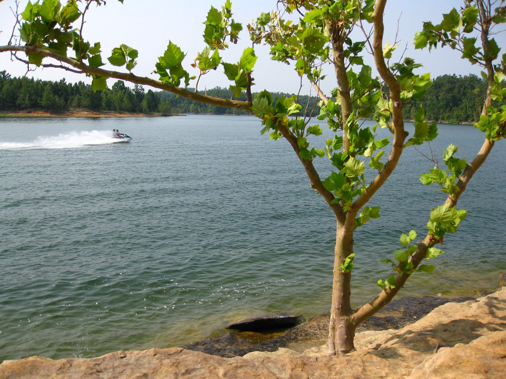 Nature walkHikingPhoto: daveynin, CC BY 2.0 (via Flickr)1.9 mi
 Laurel BranchCampingPhoto: Recreation.gov (RIDB) / public domain3.2 mi
 AxtelCampingPhoto: Recreation.gov (RIDB) / public domain4 mi
- North ForkPier fishing4.9 mi
Source: Roamze catalog (indexable pages within 10 miles, PostGIS distance)
- Nature walkHiking · ~3 min drivePhoto: daveynin, CC BY 2.0 (via Flickr)
 Lakeshore Bluff TrailHiking · ~42 min drivePhoto: Ken Crawford, U.S. Army Corps of Engineers, Public domain (via Wikimedia Commons)
- German Ridge 1Hiking · ~45 min drive
- Point LoopHiking · ~41 min drivePhoto: Ken Crawford, U.S. Army Corps of Engineers, Public domain (via Wikimedia Commons)
- Jeffreys Cliffs Upper TrailsHiking · ~40 min drive
- German Ridge 2Hiking · ~47 min drive
- Omega LoopHiking · ~42 min drivePhoto: Ken Crawford, U.S. Army Corps of Engineers, Public domain (via Wikimedia Commons)
- Collie Ridge TrailHiking · ~50 min drive
- McCoy Hollow TrailHiking · ~49 min drive
 Waterfall LoopHiking · ~42 min drivePhoto: Huw Williams (Huwmanbeing), Public domain (via Wikimedia Commons)
Best time to visit Cave Loop Trail
Best months: March–May and September–November. Best months have typical highs of 55–85 °F, lows of 30 °F or warmer (32 °F where the station doesn't record snow), at most one snowy day and no more than 12 wet days.
Jan
44° / 24°
9 wet · 2 snow
Feb
49° / 26°
9 wet · 2 snow
Mar
58° / 34°
10 wet · 1 snow
Apr
70° / 43°
10 wet
May
79° / 53°
11 wet
Jun
87° / 62°
9 wet
Jul
90° / 65°
8 wet
Aug
90° / 63°
7 wet
Sep
84° / 56°
7 wet
Oct
72° / 44°
8 wet
Nov
59° / 34°
8 wet
Dec
48° / 28°
10 wet · 1 snow
Typical high / low (°F) and days with rain or snow, 1991–2020. Measured at Rough Rvr Lake, KY, 3 mi away at 560 ft. Source: NOAA NCEI U.S. Climate Normals 1991–2020.
Map and trail data © OpenStreetMap contributors
