West Branch Whitewater River
- 21.3 mi
- distance
- 1,326 ft
- high point
- Mar–May, Sep–Nov
- best months
West Branch Whitewater River is a canoeing route in Kansas, about 4.6 miles from the town of Benton. It is a stretch of the Whitewater River, and the main facts to know are its location and the paddling season that works best here. Spring and fall are the most comfortable times to paddle. Typical averages from a nearby weather station in Wichita show May highs around 77°F and October highs around 70°F, while July averages climb to about 92°F. The Whitewater River itself is another paddling option about 6.7 miles away.
Source: Roamze catalog (indexable pages within 10 miles, PostGIS distance)
 Whitewater RiverCanoeing · ~11 min drivePhoto: NOAA, Public domain (via Wikimedia Commons)
- Walton LandingBoat launch · ~26 min drive
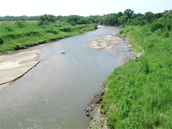 Little Arkansas RiverCanoeing · ~1h 20m drivePhoto: Unknown author, Public domain (via Wikimedia Commons)
- Sailboat Boat RampBoat launch · ~1h 3m drive
- Emma CreekCanoeing · ~34 min drive
- Large Boat RampBoat launch · ~1h 3m drive
- Little Walnut RiverCanoeing · ~37 min drive
- Personal WatercraftBoat launch · ~1h 4m drive
- Cedar CreekCanoeing · ~50 min drive
- Cave Park SlipwayBoat launch · ~1h 9m drive
Best time to visit West Branch Whitewater River
Best months: March–May and September–November. Best months have typical highs of 55–85 °F, lows of 30 °F or warmer (32 °F where the station doesn't record snow), at most one snowy day and no more than 12 wet days.
Jan
43° / 23°
4 wet
Feb
48° / 26°
5 wet
Mar
59° / 35°
7 wet
Apr
68° / 45°
9 wet
May
77° / 55°
11 wet
Jun
86° / 65°
10 wet
Jul
92° / 69°
8 wet
Aug
90° / 67°
8 wet
Sep
83° / 59°
8 wet
Oct
70° / 47°
7 wet
Nov
57° / 35°
5 wet
Dec
45° / 26°
5 wet
Typical high / low (°F) and days with rain or snow, 1991–2020. Measured at Wichita Jabara Ap, KS, 9.9 mi away at 1,421 ft. This station doesn't record snowfall. Source: NOAA NCEI U.S. Climate Normals 1991–2020.
