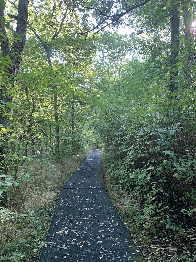
Cow Creek
- 4.6 mi
- distance
- 880 ft
- high point
- Mar–Jun, Sep–Nov
- best months
Cow Creek is a 4.6-mile paddling stretch near Pittsburg, Kansas. It flows year-round. USGS models an average flow of about 307 cfs and a gradient of about 4.0 feet per mile.
 Marmaton RiverCanoeing · ~1h 7m drivePhoto: NOAA employee, Public domain (via Wikimedia Commons)
- Carl Junction AccessBoat launch · ~25 min drive
 Little Osage RiverCanoeing · ~1h 17m drivePhoto: unknown NOAA employee, Public domain (via Wikimedia Commons)
- Stones Corner AccessBoat launch · ~28 min drive
- Little North ForkCanoeing · ~18 min drive
- Joplin Shoal CreekBoat launch · ~40 min drive
- Limestone CreekCanoeing · ~20 min drive
- Wildcat AccessBoat launch · ~41 min drive
- Lightning CreekCanoeing · ~26 min drive
- Tipton Ford AccessBoat launch · ~50 min drive
Best time to visit Cow Creek
Best months: March–June and September–November. Best months have typical highs of 55–85 °F, lows of 30 °F or warmer (32 °F where the station doesn't record snow), at most one snowy day and no more than 12 wet days.
Jan
43° / 24°
7 wet
Feb
48° / 28°
7 wet
Mar
59° / 37°
9 wet
Apr
68° / 46°
11 wet
May
76° / 56°
12 wet
Jun
85° / 65°
10 wet
Jul
90° / 70°
9 wet
Aug
90° / 68°
8 wet
Sep
82° / 60°
7 wet
Oct
70° / 48°
8 wet
Nov
57° / 36°
8 wet
Dec
46° / 27°
8 wet
Typical high / low (°F) and days with rain or snow, 1991–2020. Measured at Pittsburg, KS, 2.8 mi away at 908 ft. This station doesn't record snowfall. Source: NOAA NCEI U.S. Climate Normals 1991–2020.