Averydale Access
- Apr, Jun–Oct
- best months
Averydale Access is a boat launch in Cerro Gordo County, Iowa, about a mile from the town of Portland. It is managed by the Cerro Gordo County Conservation Department, and its own land unit is simply named Averydale Access. Summer is the most comfortable time to visit. Typical averages from the nearby Mason City weather station show July highs around 82°F with lows near 62°F, and June and August are close behind. Winters are cold, with January highs in the mid-20s. The closest nearby outing is the Lime Creek Conservation Area Trail Network, about 4 miles away.
- Managed by
- Cerro Gordo County Conservation Department
Source: Roamze catalog (indexable pages within 10 miles, PostGIS distance)
 Wapsipinicon RiverCanoeing · ~55 min drivePhoto: James C. Orvis, CC BY-SA 3.0 (via Wikimedia Commons)
 Upper Iowa RiverCanoeing · ~1h 14m drivePhoto: Wikideas1, CC0 (via Wikimedia Commons)
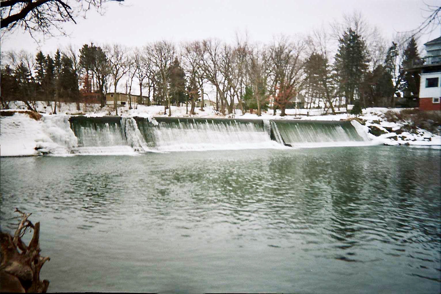 Cedar RiverCanoeing · ~1h 25m drivePhoto: Hraefen at English Wikipedia, Public domain (via Wikimedia Commons)
- Goranson AccessBoat launch · ~1 min drive
- Coldwater CreekCanoeing · ~31 min drive
- Boylan CreekCanoeing · ~39 min drive
- Little Cedar RiverCanoeing · ~52 min drive
- West Fork Cedar RiverCanoeing · ~57 min drive
- South Beaver CreekCanoeing · ~1h 19m drive
- Middle Branch Blue Earth RiverCanoeing · ~1h 24m drive
Best time to visit Averydale Access
Best months: April and June–October. Best months have typical highs of 55–85 °F, lows of 30 °F or warmer (32 °F where the station doesn't record snow), at most one snowy day and no more than 12 wet days.
Jan
24° / 7°
7 wet
Feb
29° / 11°
7 wet
Mar
41° / 23°
8 wet
Apr
56° / 35°
10 wet
May
69° / 47°
13 wet
Jun
79° / 58°
12 wet
Jul
82° / 62°
10 wet
Aug
80° / 59°
9 wet
Sep
73° / 50°
9 wet
Oct
60° / 38°
8 wet
Nov
43° / 25°
7 wet
Dec
30° / 14°
7 wet
Typical high / low (°F) and days with rain or snow, 1991–2020. Measured at Mason City, IA, 3.2 mi away at 1,105 ft. This station doesn't record snowfall. Source: NOAA NCEI U.S. Climate Normals 1991–2020.
Map and trail data © OpenStreetMap contributors
