Barred Owl Trail
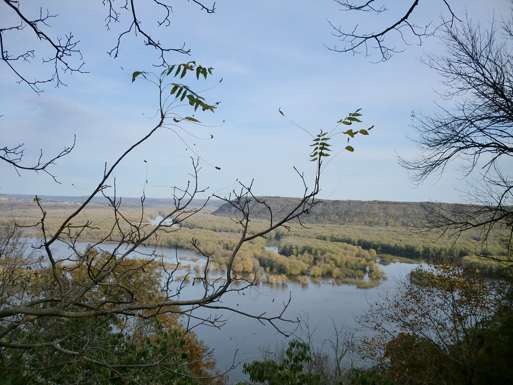
 Photo: christinejwarner, CC BY 2.0 (via Flickr)
- 0.4 mi
- round trip
- 224 ft
- climb
- 1,142 ft
- high point
- Out and back
- route
Barred Owl Trail is a short, easy hike in Backbone State Park in Iowa, managed by the State Department of Natural Resources. The trail is an out-and-back route of about 0.86 miles, with a total climb of about 224 feet. The steepest part comes at about 0.34 miles in, where the grade reaches 15 percent. Late spring and early fall are the most comfortable times to go. Typical averages from a nearby weather station in Manchester put May highs around 70°F and September highs around 74°F, while winter brings highs in the 20s and regular snow days. Several other trails sit close by, including the Barred Owl hike at about 0.4 miles and the Ryan Property Equestrian and Backbone Forest Trails at about 0.8 miles. Climbers can find Backbone State Park's climbing areas about 1.1 miles away.
- Barred OwlHiking0.4 mi
- Ryan Property EquestrianHiking0.8 mi
- Backbone Forest TrailsHiking0.8 mi
- Backbone State ParkRock climbing1.1 mi
- Backbone EastRock climbing1.1 mi
- Drive In WallRock climbing1.1 mi
- Backbone LakeLake fishing1.8 mi
- Maquoketa River Water TrailCanoeing5.9 mi
Source: Roamze catalog (indexable pages within 10 miles, PostGIS distance)
 Backbone TrailHiking · ~2 min drivePhoto: christinejwarner, CC BY 2.0 (via Flickr)
 Bluebird TrailHiking · ~3 min drivePhoto: christinejwarner, CC BY 2.0 (via Flickr)
- Backbone Forest TrailsHiking · ~1 min drive
 Six Pines TrailHiking · ~2 min drivePhoto: christinejwarner, CC BY 2.0 (via Flickr)
- East Lake TrailHiking · ~3 min drivePhoto: christinejwarner, CC BY 2.0 (via Flickr)
 Weeping RockHiking · ~55 min drivePhoto: Zonie_Zambonie, CC BY 2.0 (via Flickr)
- West Lake TrailHiking · ~4 min drivePhoto: christinejwarner, CC BY 2.0 (via Flickr)
 Chinquapin RidgeHiking · ~55 min drivePhoto: McGhiever, CC BY-SA 3.0 (via Wikimedia Commons)
- Forest EquestrianHiking · ~2 min drive
- Deer RidgeHiking · ~55 min drivePhoto: Zonie_Zambonie, CC BY 2.0 (via Flickr)
Map and trail data © OpenStreetMap contributors
