Pinnacle Peak Trail
- 1.0 mi
- one way
- 267 ft
- climb
- 949 ft
- high point
- Point to point
- route
- Apr–Oct
- best months
Pinnacle Peak Trail is a short, easy hike in Jackson-Washington State Forest in Indiana, managed by the State Department of Natural Resources. It starts at about 921 feet and ends at about 949 feet, so the climb is just 267 feet of gain over a little under a mile. The route also passes a steeper stretch of about 26% grade at around 0.3 miles in. Spring and fall are the most comfortable times to go. Typical averages from a nearby weather station in Seymour show October highs around 67°F and May highs around 74°F, while July averages about 85°F and January highs sit near 37°F. Other trails are close by. Youth Camp Trail is about 0.4 miles away and Knob Lake Trail about 0.6 miles. Overlook Trail and North Loopt Trail lie within about a mile.
Conditions and forecast on Pinnacle
Daily highs and lows, wind and the chance of precipitation at the summit and route start for the next 7 days, from the Open-Meteo model.
- Youth Camp TrailHiking0.4 mi
- Knob Lake TrailHiking0.6 mi
- Overlook TrailHiking1 mi
- North Loopt TrailHiking1.1 mi
- Sawmill Hollow TrailHiking1.2 mi
- Pond CreekCanoeing4.4 mi
- Grassy ForkCanoeing4.5 mi
- Starve Hollow LakeLake fishing5.7 mi
Source: Roamze catalog (indexable pages within 10 miles, PostGIS distance)
 Sandhill Ponds TrailHiking · ~19 min drivePhoto: b_nicodemus, CC BY-SA 2.0 (via Flickr)
- Trail #8 - Turkey Roost TrailHiking · ~10 min drive
- Knobstone TrailHiking · ~20 min drive
- Fork Ridge Trail 1Hiking · ~23 min drive
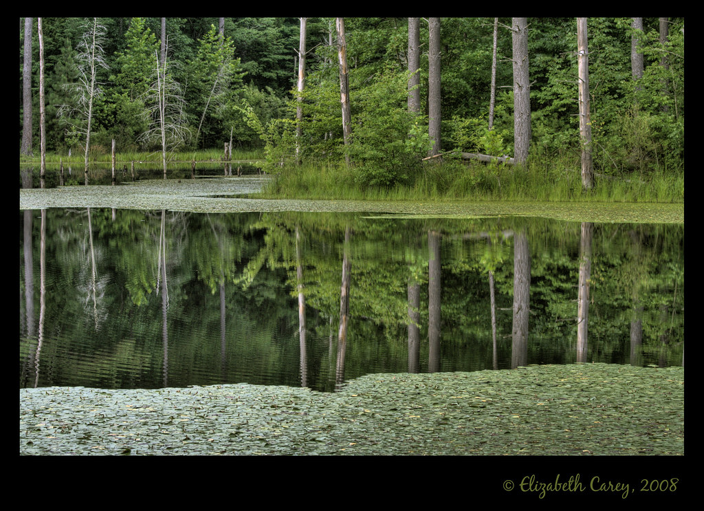 Ogala TrailHiking · ~25 min drivePhoto: b_nicodemus, CC BY-SA 2.0 (via Flickr)
- Hickory Ridge 16Hiking · ~24 min drive
- Ogala TrailHiking · ~24 min drive
 Hickory Ridge 13Hiking · ~30 min drivePhoto: usfs_Eastern_Region, Public Domain Mark (via Flickr)
- Nebo Ridge Trail 1Hiking · ~29 min drive
- Hickory Ridge 17Hiking · ~26 min drive
Best time to visit Pinnacle Peak Trail
Best months: April–October. Best months have typical highs of 55–85 °F, lows of 30 °F or warmer (32 °F where the station doesn't record snow), at most one snowy day and no more than 12 wet days.
Jan
37° / 22°
10 wet
Feb
42° / 24°
8 wet
Mar
52° / 32°
10 wet
Apr
65° / 42°
11 wet
May
74° / 53°
12 wet
Jun
82° / 61°
10 wet
Jul
85° / 64°
9 wet
Aug
84° / 62°
7 wet
Sep
78° / 54°
7 wet
Oct
67° / 42°
7 wet
Nov
53° / 33°
8 wet
Dec
42° / 26°
10 wet
Typical high / low (°F) and days with rain or snow, 1991–2020. Measured at Seymour 2 N, IN, 9.4 mi away at 570 ft. This station doesn't record snowfall. Source: NOAA NCEI U.S. Climate Normals 1991–2020.
Route details
- Distance
- 1.0 mi
- Climbing
- About 267 ft
- Summit
- 951 ft
- Difficulty
- Easy
- Time
- About 0.5 hours
Questions about this route
How long is the Pinnacle Peak Trail on Pinnacle?
About 1.0 mi.
How much elevation gain is on the Pinnacle Peak Trail?
About 267 ft of climbing round trip.
How hard is the Pinnacle Peak Trail?
It is rated easy.
How long does the Pinnacle Peak Trail take?
About 0.5 hours round trip.
Map and trail data © OpenStreetMap contributors
