High Water
- Apr–Jun, Aug–Oct
- best months
High Water is a boat launch in Illinois, about 5 miles from the town of Findlay. It serves as a put-in for boaters heading out on the water in this part of the state. For comfortable weather, aim for late spring or early fall. Typical averages from the nearby Shelbyville Dam weather station show May highs around 74°F and September highs near 80°F, with July the warmest month at about 86°F. Several fishing spots sit within a few miles, including Lone Point about 2.6 miles away and Coon Creek at roughly 3.8 miles. Lithia Springs and Opossum Creek are also close by. Paddlers can head to Robinson Creek, about 9 miles off.
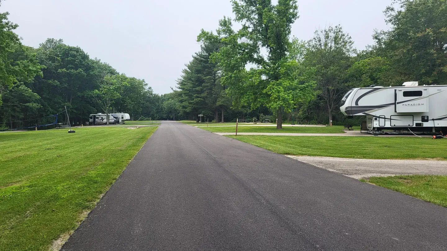 Lone PointLake fishing2.6 mi
 Coon CreekLake fishing3.8 mi
 Lithia SpringsLake fishing4.1 mi
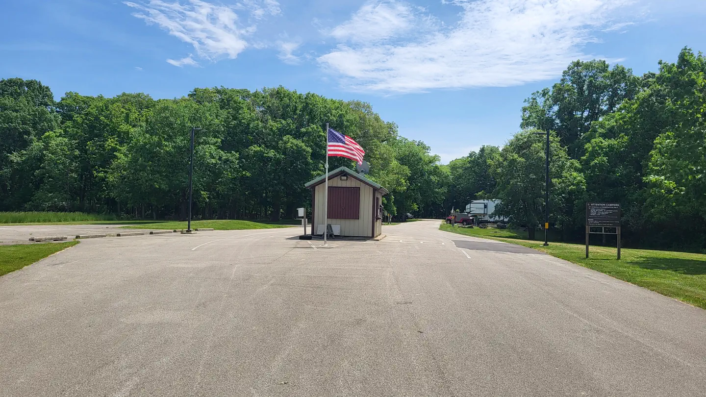 Opossum CreekLake fishing4.4 mi
 Forrest W. Bo WoodLake fishing7.1 mi
- Robinson CreekCanoeing9.1 mi
Source: Roamze catalog (indexable pages within 10 miles, PostGIS distance)
 Embarras RiverCanoeing · ~1h 9m drivePhoto: unknown NOAA employee, Public domain (via Wikimedia Commons)
- Lake ShelbyvilleBoat launch · Next door
- Robinson CreekCanoeing · ~16 min drive
- Lake ShelbyvilleBoat launch · ~3 min drive
- Richland CreekCanoeing · ~19 min drive
- Lake ShelbyvilleBoat launch · ~4 min drive
- West Branch Little Wabash RiverCanoeing · ~19 min drive
- Lake ShelbyvilleBoat launch · ~7 min drive
- Flat BranchCanoeing · ~26 min drive
- Findlay MarinaBoat launch · ~7 min drive
Best time to visit High Water
Best months: April–June and August–October. Best months have typical highs of 55–85 °F, lows of 30 °F or warmer (32 °F where the station doesn't record snow), at most one snowy day and no more than 12 wet days.
Jan
36° / 19°
8 wet
Feb
41° / 23°
7 wet
Mar
52° / 32°
9 wet
Apr
64° / 43°
11 wet
May
74° / 54°
12 wet
Jun
83° / 63°
10 wet
Jul
86° / 67°
9 wet
Aug
85° / 65°
8 wet
Sep
80° / 57°
8 wet
Oct
67° / 45°
9 wet
Nov
52° / 34°
9 wet
Dec
41° / 25°
9 wet
Typical high / low (°F) and days with rain or snow, 1991–2020. Measured at Shelbyville Dam, IL, 5.8 mi away at 650 ft. This station doesn't record snowfall. Source: NOAA NCEI U.S. Climate Normals 1991–2020.
Map and trail data © OpenStreetMap contributors
