Devil's Kitchen Campground
Campground
Campground · 6.8 mi from the trail
Harmony Trail is a short, easy loop in Crab Orchard National Wildlife Refuge in southern Illinois, managed by the U.S. Fish and Wildlife Service. The trail is about 0.7 miles long and sits at roughly 418 feet, with a high point of 435 feet and a low of 413 feet. The climb is gentle, with the steepest stretch at about 0.19 miles in, where the grade reaches 10 percent. Spring and fall are the most comfortable times to go. Typical averages from a nearby weather station in Carbondale show October highs around 70°F with lows near 44°F, and April highs around 68°F. July is the warmest month, with highs near 88°F. The Crab Orchard Visitor Center Pond and Woodland Nature Trail is about 0.4 miles away. Crab Orchard Creek, a canoeing route, is about 3.6 miles off. Rocky Bluff Trail and Wild Turkey Trail are both within about 7 miles.
Devil's Kitchen Campground
Campground
Water Fall
Attraction
Places © OpenStreetMap contributors
More in GorevilleBest months: March–April, June and September–November. Best months have typical highs of 55–85 °F, lows of 30 °F or warmer (32 °F where the station doesn't record snow), at most one snowy day and no more than 12 wet days.
Jan
41° / 23°
10 wet
Feb
46° / 26°
9 wet
Mar
56° / 34°
12 wet
Apr
68° / 44°
12 wet
May
77° / 55°
13 wet
Jun
85° / 64°
10 wet
Jul
88° / 68°
9 wet
Aug
87° / 65°
9 wet
Sep
81° / 56°
8 wet
Oct
70° / 44°
9 wet
Nov
56° / 35°
10 wet
Dec
45° / 27°
11 wet
Typical high / low (°F) and days with rain or snow, 1991–2020. Measured at Carbondale Sewage Plt, IL, 7.6 mi away at 390 ft. This station doesn't record snowfall. Source: NOAA NCEI U.S. Climate Normals 1991–2020.
 Photo: davidwilson1949, CC BY 2.0 (via Flickr)
Red Cedar Trail
~19 min drive
1.46-mile out-and-back trail in Illinois with 318 ft elevation gain
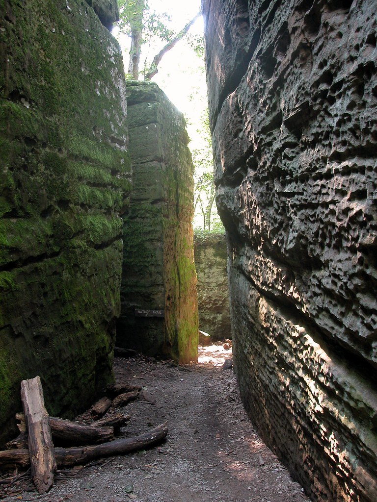 Photo: davidwilson1949, CC BY 2.0 (via Flickr)
Red Cedar Trail
~20 min drive
15.78-mile out-and-back trail in Illinois with 2,055 ft elevation gain
 Photo: davidwilson1949, CC BY 2.0 (via Flickr)
Trillium Trail
~20 min drive
1.22-mile loop in Illinois with 384 ft elevation gain.
HIKE
Panther Den
~16 min drive
2.92-mile out-and-back trail in Illinois with 387 ft elevation gain
 Photo: Curtis Abert — CC BY 2.0 (via Flickr)
Hawk's Cave Trail
~21 min drive
0.46-mile loop trail in Illinois with 194 ft of elevation gain.
 Photo: Curtis Abert, CC BY 2.0 (via Flickr)
Black Jack Oak Trail
~22 min drive
1.72-mile out-and-back trail in Illinois with 591 ft elevation gain.
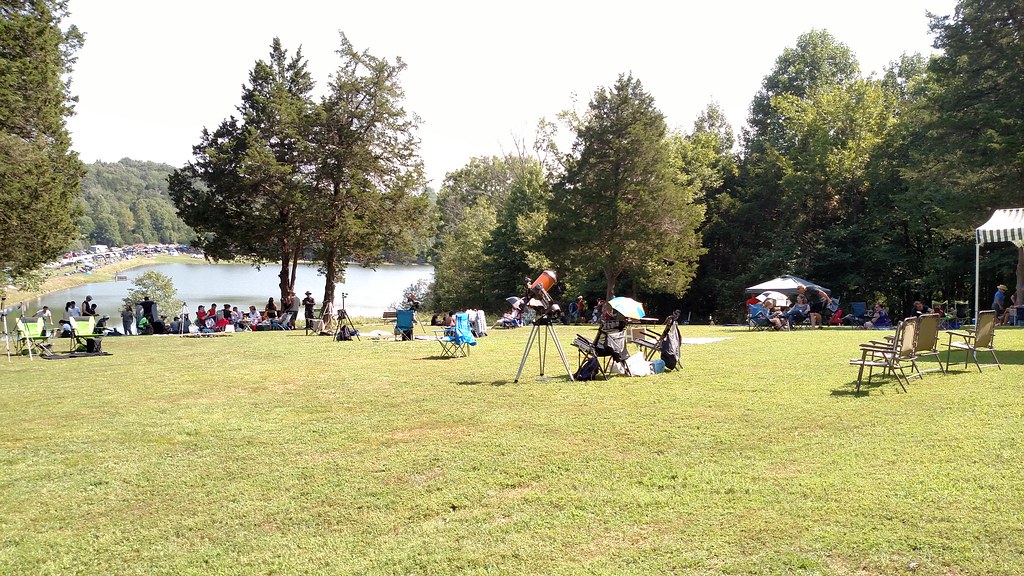 Photo: Curtis Abert, CC BY 2.0 (via Flickr)
Big Rocky Hollow Trail
~22 min drive
0.38-mile point-to-point trail in Illinois with 12 ft elevation gain.
 Photo: Curtis Abert, CC BY 2.0 (via Flickr)
River To River Trail
~22 min drive
0.9-mile out-and-back hike in Illinois with 150 ft elevation gain.
 Photo: Gary Lee Todd, Ph.D., Public Domain Dedication (CC0) (via Flickr)
Fernlands Nature Trail
~22 min drive
0.88-mile out-and-back hike in Illinois with 112 ft elevation gain.
Photo: Curtis Abert, CC BY 2.0 (via Flickr)Lake Trail
~23 min drive
0.90-mile loop trail in Illinois with 374 ft of elevation gain.
Map and trail data © OpenStreetMap contributors
