Adt - Illinois - I - Seg 2
- 78.9 mi
- one way
- 685 ft
- climb
- 692 ft
- high point
- Point to point
- route
- Apr–Oct
- best months
Adt - Illinois - I - Seg 2 is a hard hike in Illinois, about 79 miles long and rising roughly 685 feet from a starting point near 466 feet to a high of about 692 feet. It is a point-to-point route, and the nearest town is Bureau, about half a mile away. The climb is a long, steady one. The route begins at about 466 feet and reaches a high of about 692 feet, with the low point at about 456 feet. Bikes are allowed. For comfortable weather, aim for late spring or early fall. Typical averages from a nearby weather station in Hennepin show May highs around 74°F and September highs around 77°F, with July the warmest month at about 84°F. East Bureau Creek, a canoeing spot, lies about 7 miles away.
Source: Roamze catalog (indexable pages within 10 miles, PostGIS distance)
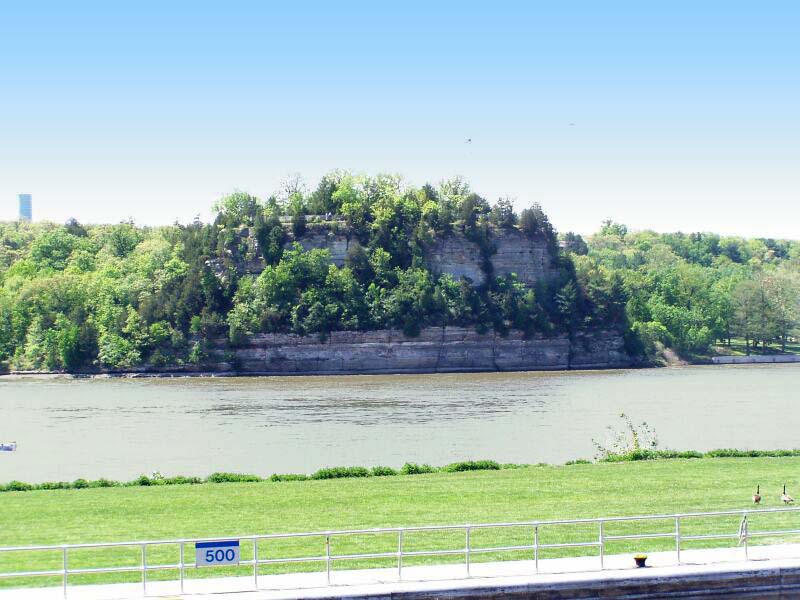
 Stone Barn SavannaHiking · ~1h 12m drivePhoto: davidwilson1949, CC BY 2.0 (via Flickr)
 Wildlife ViewingHiking · ~1h 23m drivePhoto: davidwilson1949, CC BY 2.0 (via Flickr)
- Fox River TrailHiking · ~52 min drive
- Heather ValleyHiking · ~1h 23m drivePhoto: davidwilson1949, CC BY 2.0 (via Flickr)
- Illinois River Bluff TrailHiking · ~56 min drive
- Spring Lake ParkHiking · ~49 min drive
- Great OakHiking · ~52 min drive
- Heart Attack HillHiking · ~53 min drive
- Oak WoodlandsHiking · ~53 min drive
- North Creek TrailHiking · ~54 min drive
Also worth it near here
Best time to visit Adt - Illinois - I - Seg 2
Best months: April–October. Best months have typical highs of 55–85 °F, lows of 30 °F or warmer (32 °F where the station doesn't record snow), at most one snowy day and no more than 12 wet days.
Jan
32° / 17°
Feb
37° / 20°
Mar
50° / 30°
Apr
64° / 41°
May
74° / 51°
Jun
82° / 61°
Jul
84° / 65°
Aug
83° / 62°
Sep
77° / 55°
Oct
65° / 43°
Nov
50° / 32°
Dec
37° / 22°
Typical high / low (°F) and days with rain or snow, 1991–2020. Measured at Hennepin, IL, 3 mi away at 515 ft. This station doesn't record snowfall. Source: NOAA NCEI U.S. Climate Normals 1991–2020.

Map and trail data © OpenStreetMap contributors
