Mike Harris
Campground
Campground · 0.4 mi from the trail
No closures listed
The Forest Service lists no closures for Caribou-Targhee National Forest.
As of · Source: USFS · Caribou-Targhee National Forest. Agencies don't list every closure — check before you go.
Southern Valley Trails is a cross-country skiing route in the Teton Basin Ranger District of Idaho's Caribou-Targhee National Forest, managed by the Forest Service. It sits about 0.2 miles from the district's boundary and is a short outing, with a total round-trip distance of about 0.4 miles and a total climb of about 160 feet. The route is an out-and-back, and the steepest stretch comes early, at about 11% grade. The high point is around 6,667 feet, and the low point is about 6,591 feet. Winter is the natural season for skiing here. Typical averages from a nearby weather station at Alta, Wyoming, show January highs around 29°F with lows near 12°F and about seven snow days. July and August are the warmest months, with highs in the upper 70s and no snow days. Yeti's Loop is a hike about 0.2 miles away, and Mike Harris Campground, a cross-country ski area, is about 0.4 miles off. Nemo and Grumpy's Loop are both hiking routes about 0.7 miles away.
Mike Harris
Campground
Flat Creek Overlook
Viewpoint
Places © OpenStreetMap contributors
More in JacksonNot on Roamze yet. Their page has how to reach them.
Best months: June–September. Best months have typical highs of 55–85 °F, lows of 30 °F or warmer (32 °F where the station doesn't record snow), at most one snowy day and no more than 12 wet days.
Jan
29° / 12°
9 wet · 7 snow
Feb
32° / 13°
8 wet · 6 snow
Mar
40° / 21°
9 wet · 6 snow
Apr
48° / 27°
9 wet · 4 snow
May
60° / 35°
10 wet · 2 snow
Jun
69° / 42°
8 wet
Jul
79° / 48°
5 wet
Aug
78° / 47°
6 wet
Sep
68° / 40°
6 wet
Oct
53° / 30°
7 wet · 2 snow
Nov
38° / 20°
8 wet · 5 snow
Dec
28° / 12°
9 wet · 7 snow
Typical high / low (°F) and days with rain or snow, 1991–2020. Measured at Alta 1 Nnw, WY, 15 mi away at 6,440 ft. Source: NOAA NCEI U.S. Climate Normals 1991–2020.
 Photo: Enricokamasa, Public domain (via Wikimedia Commons)
Jackson Hole Mountain Resort
~20 min drive
Jackson Hole Mountain Resort in Wyoming has 17 lifts and 99 runs with 4,089 ft vertical.
SKI
Trail Cr Main Loop Xc Snow
~17 min drive
5.30-mile out-and-back trail in Wyoming with 123 ft gain.
SKI
Game Cr Snow
~36 min drive
5.02-mile out-and-back route in Wyoming with 1,378 feet of elevation gain.
SKI
Mike Harris Campground
Next door
0.10-mile out-and-back ski trail at Mike Harris Campground, Idaho.
SEE
Grand Targhee Resort
~29 min drive
Grand Targhee Resort in Wyoming has 6 lifts, 65 runs, and 2,238 ft of vertical.
SKI
Cache Creek Snow
~32 min drive
10.57-mile out-and-back trail in Wyoming with 993 ft gain.
SKI
Mike Harris Campground
Next door
0.19-mile out-and-back ski trail at Mike Harris Campground, Idaho.
SEE
Snow King Mountain
~30 min drive
Snow King Mountain in Wyoming has 9 lifts, 28 runs, and 1,701 ft of vertical.
SKI
Southern Valley Trails
Next door
0.21-mile out-and-back trail in Idaho with 23 ft of elevation gain.
SKI
Teton Reserve Nordic Trail
~8 min drive
0.60-mile out-and-back route in Idaho with 43 ft of elevation gain.
Also worth it near here
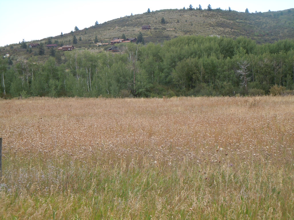 Photo: Matt Lavin, CC BY-SA 2.0 (via Flickr)
Mikesell Canyon
~1 min drive
 Photo: Matt Berger
https://www.inaturalist.org/people/sheriff_woody_pct, CC BY 4.0 (via Wikimedia Commons)
Taylor Mountain
~4 min drive
BED
Trail Creek
~4 min drive
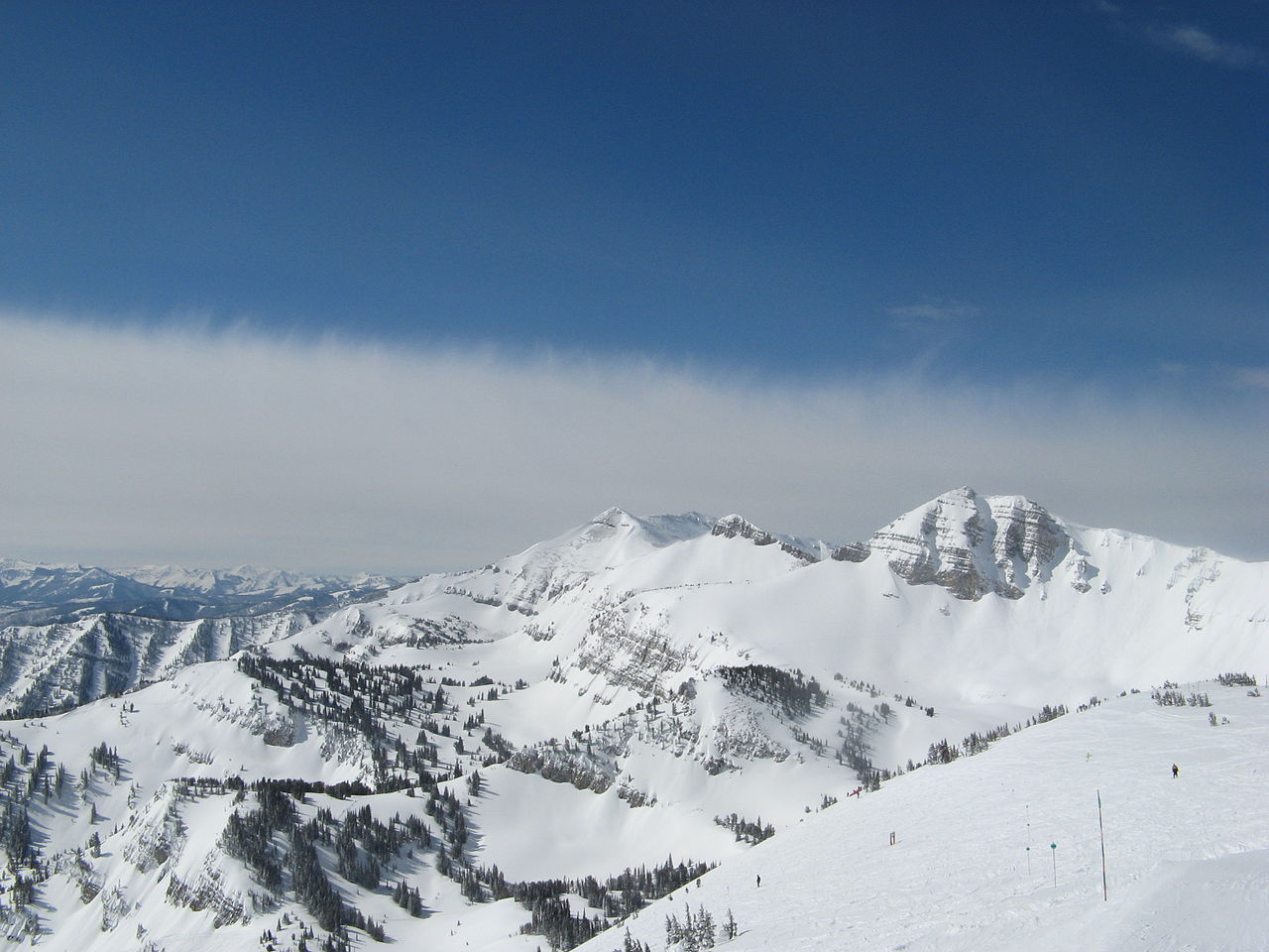 Photo: Ams100272, Public domain (via Wikimedia Commons)
Rendezvous Mountain
~15 min drive
CLIMB
Darby Canyon
~15 min drive
Map and trail data © OpenStreetMap contributors
