South Boundary
- 0.6 mi
- round trip
- 283 ft
- climb
- Singletrack
- surface
- Out and back
- route
- May–Sep
- best months
South Boundary is a short, easy mountain biking climb in Idaho, about half a mile from the nearest town of Lake Fork. The route is an out-and-back, roughly 1.2 miles long, with a high point of 5,532 feet and a low of about 5,340 feet. The steepest section comes early on, at about 0.27 miles, with a 13% grade, and the total elevation gain is about 283 feet for the round trip. Summer is the most comfortable time to ride. Typical averages from the nearby McCall weather station, which sits a few hundred feet lower, run to highs around 81°F in July and August with only about five wet days a month, while winter brings highs near freezing and regular snow days from November through March. The climb sits close to two other mountain biking routes, Mid Mountain Doubletrack and Basic Training, both about 0.1 miles away. Jug Handle Bouldering, a climbing area, is about 2.9 miles off, and Rapid Creek Dispersed camping is about 5.2 miles away.
Local outfitters
- Black Bear RV Park5 mi away
Not on Roamze yet. Their page has how to reach them.
- Mid Mountain DoubletrackMountain biking0.1 mi
- Basic TrainingMountain biking0.1 mi
- Jug Handle BoulderingRock climbing2.9 mi
- Rapid Creek DispersedCamping5.2 mi
- Paddy Flat DispersedCamping5.4 mi
- Baby ProblemsRock climbing6.1 mi
- Rapid CreekCanoeing6.2 mi
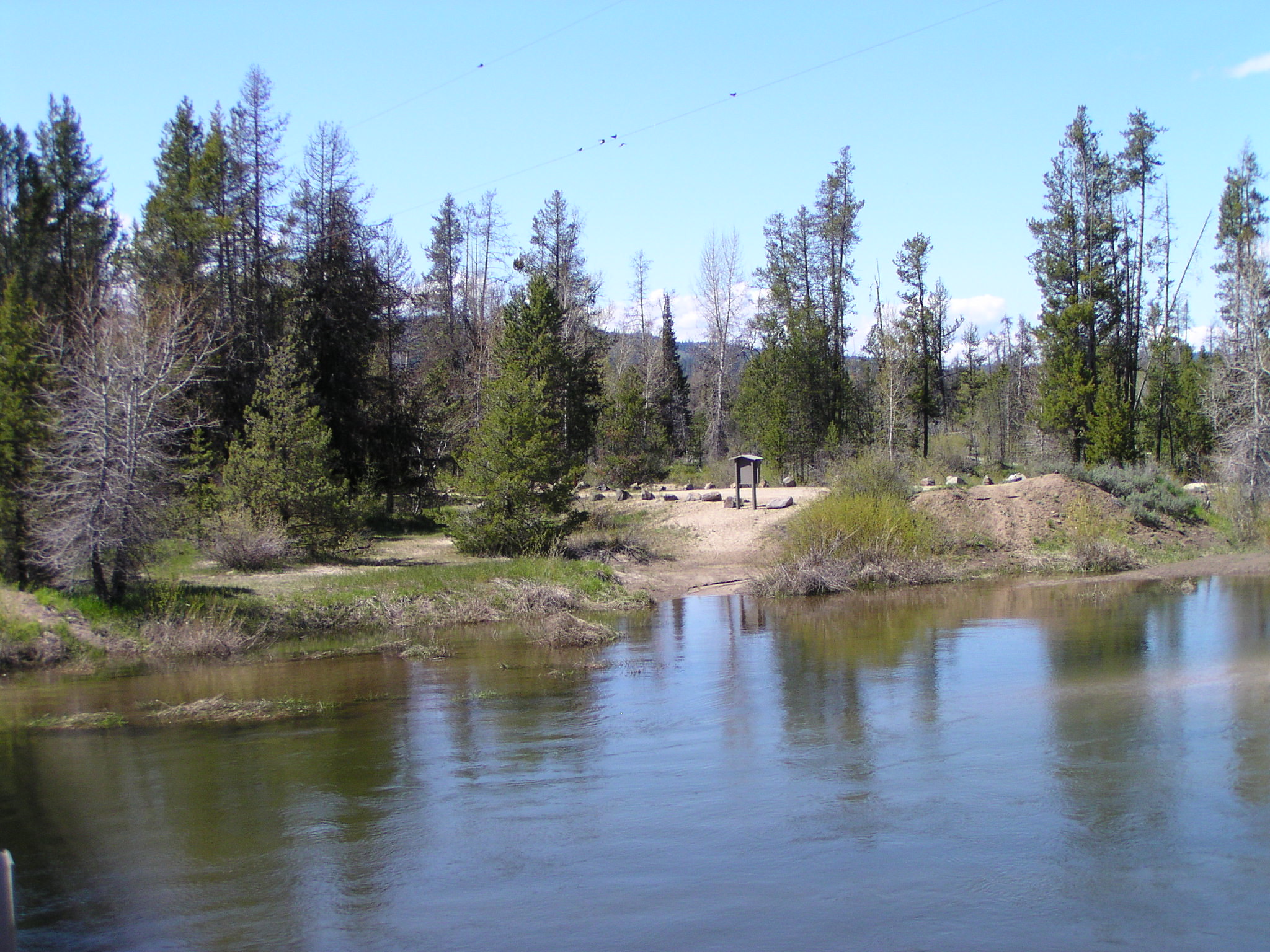 North Fork Payette Rec SiteRiver fishing6.9 mi
Source: Roamze catalog (indexable pages within 10 miles, PostGIS distance)
- South BoundaryMountain biking · Next door
- Basic TrainingMountain biking · Next door
- DoeJoeMountain biking · Next door
- ExfoliatorMountain biking · Next door
- Berm & ERnieMountain biking · Next door
- Berm & ERnieMountain biking · Next door
- Basic TrainingMountain biking · Next door
- Double-ShotMountain biking · Next door
- Basic TrainingMountain biking · Next door
- ShorelineMountain biking · Next door
Best time to visit South Boundary
Best months: May–September. Best months have typical highs of 55–85 °F, lows of 30 °F or warmer (32 °F where the station doesn't record snow), at most one snowy day and no more than 12 wet days.
Jan
31° / 13°
14 wet · 11 snow
Feb
36° / 14°
12 wet · 9 snow
Mar
43° / 20°
13 wet · 7 snow
Apr
51° / 27°
12 wet · 3 snow
May
61° / 35°
12 wet · 1 snow
Jun
70° / 40°
10 wet
Jul
81° / 45°
5 wet
Aug
81° / 43°
5 wet
Sep
72° / 36°
6 wet
Oct
57° / 28°
9 wet · 2 snow
Nov
40° / 21°
13 wet · 7 snow
Dec
30° / 13°
15 wet · 12 snow
Typical high / low (°F) and days with rain or snow, 1991–2020. Measured at Mccall, ID, 5.7 mi away at 5,025 ft. The station sits about 500 ft lower than this place, so expect it a little cooler here. Source: NOAA NCEI U.S. Climate Normals 1991–2020.

Map and trail data © OpenStreetMap contributors
