Whitetail Trail
- 0.4 mi
- round trip
- 216 ft
- climb
- 4,043 ft
- high point
- Out and back
- route
- Jun–Oct
- best months
Whitetail Trail is a short, easy hike in Winchester Lake State Park in Idaho, managed by State Park and Recreation. The trail is an out-and-back route of about 0.8 miles, with a total elevation gain of 216 feet. The high point is about 4,043 feet, and the low point is about 3,917 feet. The steepest stretch comes early on, at about 0.1 mile, with a grade of 8 percent. Summer is the most comfortable time to go. Typical averages from a nearby weather station in Winchester show July and August highs in the upper 70s, with only five or six wet days a month. Winter is cold, with January highs around 37°F and lows near 23°F. The hike takes about half an hour. The Lakeshore Trail starts about 0.2 miles away, and the Discovery Trail is about 0.5 miles off. For paddling, Lapwai Creek is about 7.4 miles away.
Local outfitters
- Troy Oregon Outfitters45 mi away
- Pines RV Park49 mi away
Not on Roamze yet. Their page has how to reach them.
Source: Roamze catalog (indexable pages within 10 miles, PostGIS distance)
 Spalding Walking PathHiking · ~27 min drivePhoto: David Wilson from Oak Park, Illinois, USA, CC BY 2.0 (via Wikimedia Commons)
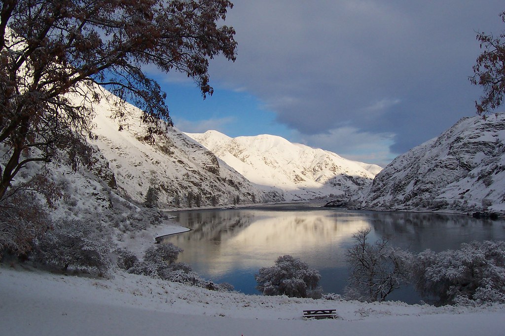 Cherry Creek TrailHiking · ~46 min drivePhoto: Forest Service Pacific Northwest Region, Public Domain Mark (via Flickr)
- Dry Creek TrailHiking · ~48 min drivePhoto: Forest Service Pacific Northwest Region, Public Domain Mark (via Flickr)
- Jim Creek TrailHiking · ~42 min drive
- Old Townsite TrailHiking · ~30 min drivePhoto: David Wilson from Oak Park, Illinois, USA, CC BY 2.0 (via Wikimedia Commons)
- Cook Creek TrailHiking · ~47 min drivePhoto: Forest Service Pacific Northwest Region, Public Domain Mark (via Flickr)
- Jim Creek TrailHiking · ~43 min drive
- Canyon Creek TrailHiking · ~50 min drive
 Levee PathHiking · ~38 min drivePhoto: Brück & Sohn Kunstverlag Meißen, CC0 (via Wikimedia Commons)
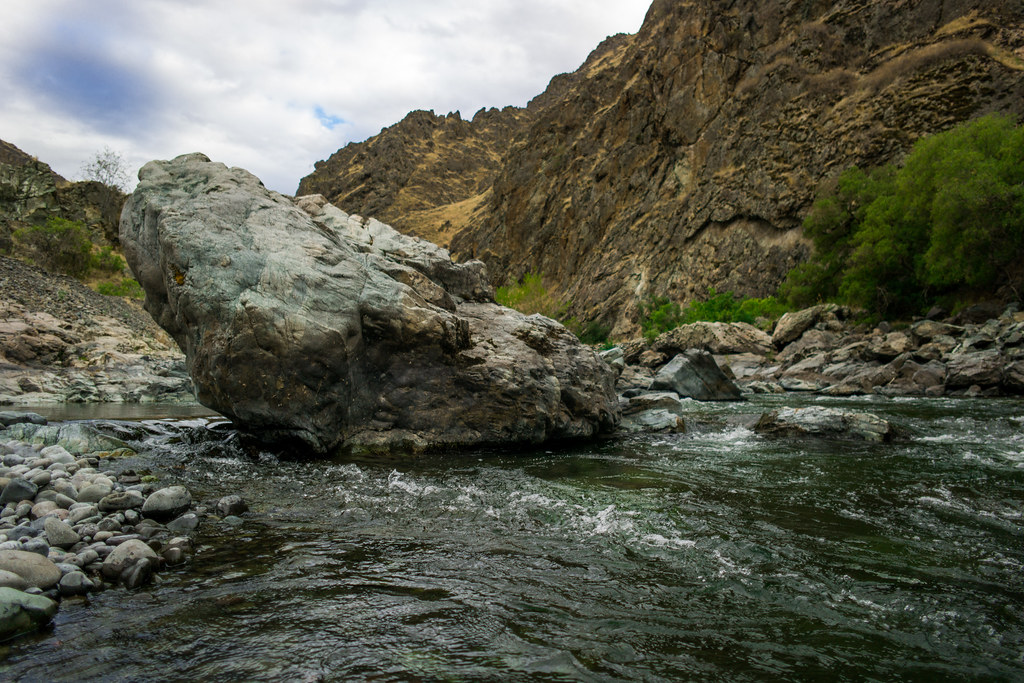 Imnaha TrailHiking · ~50 min drivePhoto: nan palmero, CC BY 2.0 (via Flickr)
Best time to visit Whitetail Trail
Best months: June–October. Best months have typical highs of 55–85 °F, lows of 30 °F or warmer (32 °F where the station doesn't record snow), at most one snowy day and no more than 12 wet days.
Jan
37° / 23°
14 wet
Feb
39° / 23°
13 wet
Mar
45° / 27°
16 wet
Apr
51° / 32°
16 wet
May
60° / 39°
14 wet
Jun
67° / 43°
11 wet
Jul
78° / 49°
7 wet
Aug
79° / 48°
5 wet
Sep
70° / 42°
6 wet
Oct
56° / 35°
11 wet
Nov
43° / 28°
14 wet
Dec
35° / 22°
15 wet
Typical high / low (°F) and days with rain or snow, 1991–2020. Measured at Winchester, ID, 0.4 mi away at 3,972 ft. This station doesn't record snowfall. Source: NOAA NCEI U.S. Climate Normals 1991–2020.
Map and trail data © OpenStreetMap contributors
