Ward Peak
- 2.7 mi
- round trip
- 902 ft
- climb
- 7,302 ft
- high point
- Out and back
- route
Ward Peak is a hard hike of about 2.7 miles on the St. Joe Ranger District of the Idaho Panhandle National Forests, managed by the Forest Service. The trail is an out-and-back that gains about 900 feet, from a low point of about 6,400 feet to a high of about 7,300 feet. Summer is the most comfortable time to go. Typical averages from a nearby weather station at Mullan Pass show July and August highs around 70°F with only about six wet days a month, while winter highs stay near 28°F. The trail is natural-surface and bikes are allowed. It is not an accessible route. Lower Ward Peak lies about 0.3 miles away, and Square Lake is about 0.9 miles off. Hub Hazel Lakes and Clear Lake are both within about 2 miles.
Local outfitters
- CDA River RV49 mi away
Not on Roamze yet. Their page has how to reach them.
- Lower Ward PeakHiking0.3 mi
- Square LakeHiking0.9 mi
- Hub Hazel LakesHiking1.3 mi
- Clear LakeHiking1.8 mi
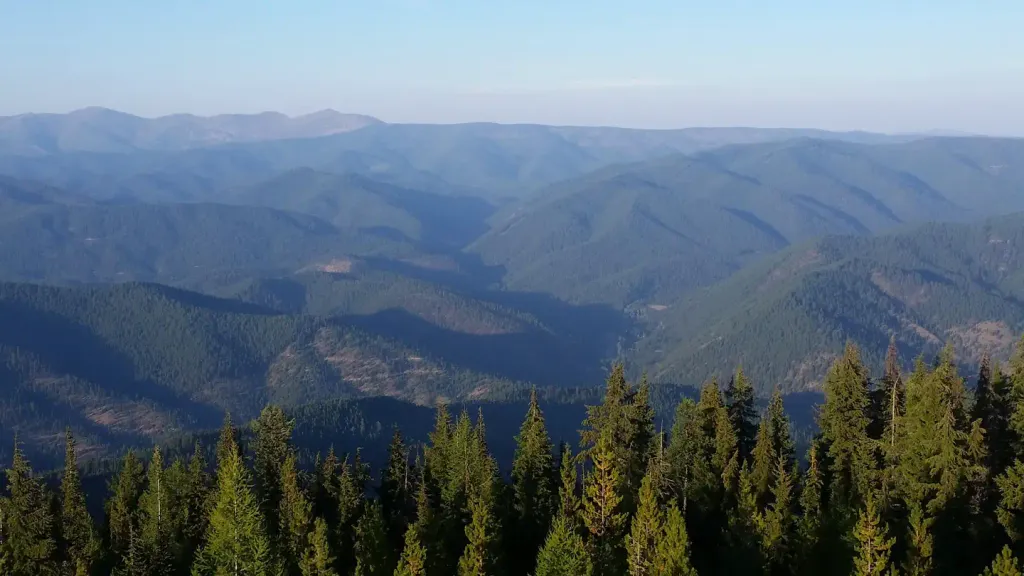 Up Up LookoutCampingPhoto: Recreation.gov (RIDB) / public domain5.3 mi
- Deer Creek CampgroundCamping6.5 mi
- Conrad CrossingCamping7.1 mi
- Cabin City CgCamping9.6 mi
Source: Roamze catalog (indexable pages within 10 miles, PostGIS distance)
Route details
- Distance
- 2.7 mi round trip
- Climbing
- About 902 ft
- Summit
- 7,302 ft
- Difficulty
- Hard
Questions about this route
How long is the Ward Peak on Ward Peak?
About 2.7 mi round trip.
How much elevation gain is on the Ward Peak?
About 902 ft of climbing round trip.
How hard is the Ward Peak?
It is rated hard.
Conditions and forecast on Ward Peak
Daily highs and lows, wind and the chance of precipitation at the summit and route start for the next 7 days, from the Open-Meteo model.
