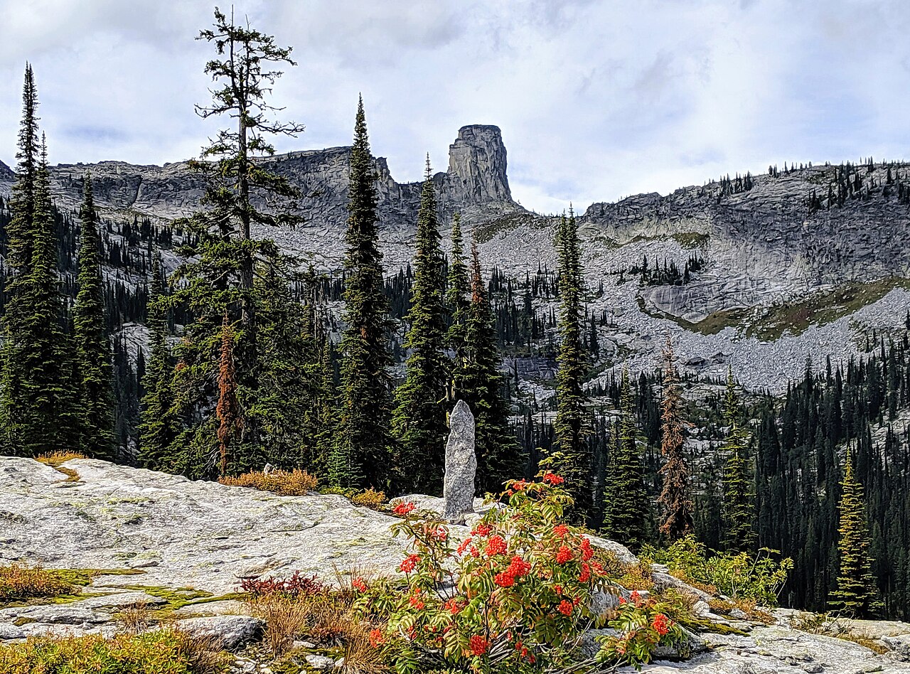
Snow Lake
- 8.3 mi
- round trip
- 1,575 ft
- climb
- 5,949 ft
- high point
- Out and back
- route
Is Snow Lake open right now?
Closure in the area
There's a closure order in Idaho Panhandle National Forests. It doesn't name Snow Lake, so check the source for the area it covers (3 listed).
Emergency Road Closure Lightning Creek / Forest Road 419
Agency closure covering Idaho Panhandle National Forests · Order 0104-06-26-002 · USFS · Idaho Panhandle National Forests
Abandoned Mines Area Closure
Agency closure covering Idaho Panhandle National Forests · Order 1-04-00-25-001 · USFS · Idaho Panhandle National Forests
Idaho Panhandle Seasonal Food Storage Order
Agency closure covering Idaho Panhandle National Forests · Order 01-04-00-24-001 · USFS · Idaho Panhandle National Forests
Trail 16 Canyon Creek (Long Canyon) Closure
Agency alert covering Bonners Ferry Ranger District · Order 01-04-07-26-007 · USFS · Bonners Ferry Ranger District
Heavy Truck Traffic on FS Road 209
Agency alert covering Idaho Panhandle National Forests · USFS · Idaho Panhandle National Forests
As of · Source: USFS · Idaho Panhandle National Forests. Agencies don't list every closure — check before you go.
Snow Lake is a hard hike in the Bonners Ferry Ranger District of the Idaho Panhandle National Forests, managed by the Forest Service. The route is an out-and-back of about 8.3 miles, with a one-way climb of roughly 1,575 feet from a low point of about 4,365 feet to a high of about 5,949 feet. The trail is natural-surfaced and allows both horses and bikes. It is not an accessible trail. The most comfortable time to go is summer, when typical averages from a nearby weather station run in the low to mid 70s °F. Winter is cold, with typical averages in the teens and 20s. Fs Trail 187 (Bottleneck Lake Access) is about 1.2 miles away, and the Bottleneck Lake hike is about 1.4 miles off. Cooks Peak is about 2.1 miles away, and Harrison Peak, a climbing area, is about 3.5 miles away.
Local outfitters
- Nordman Resort18 mi away
- Kootenai River Campground32 mi away
Not on Roamze yet. Their page has how to reach them.
Keep exploring — more trails worth the drive
 Photo: Stephen Wolfe from Columbus, OH, USA, CC BY 2.0 (via Wikimedia Commons)
Myrtle Falls
~12 min drive
0.15-mile out-and-back trail to Myrtle Falls in Idaho with 32 feet of elevation gain.
HIKE
Bottleneck Lake
~2 min drive
3.50-mile out-and-back trail to Bottleneck Lake in Idaho with 847 ft gain.
HIKE
Beehive Lakes
~6 min drive
8.80-mile out-and-back trail to Beehive Lakes in Idaho with 2,023 ft of elevation gain.
HIKE
Russell Peak Lookout
~15 min drive
0.98-mile out-and-back trail to Russell Peak Lookout in Idaho with 489 ft of elevation gain.
Photo: Stephen Wolfe from Columbus, OH, USA, CC BY 2.0 (via Wikimedia Commons)Ole Humpback Trail
~13 min drive
1.36-mile out-and-back trail in Idaho with 771 ft elevation gain.
HIKE
Harrison Lake
~5 min drive
4.41-mile out-and-back trail at Harrison Lake in Idaho with 1,435 ft of elevation gain.
HIKE
Two Mouth Lakes
~6 min drive
9.60-mile out-and-back trail in Idaho with 1,617 ft elevation gain.
Photo: Stephen Wolfe from Columbus, OH, USA, CC BY 2.0 (via Wikimedia Commons)Deep Creek Trail
~14 min drive
4.32-mile out-and-back hike in Idaho with 651 ft elevation gain
HIKE
Burton Ridge
~10 min drive
Burton Ridge is a 4.83-mile out-and-back trail in Idaho with 1,714 ft of elevation gain.
HIKE
Myrtle Peak-Lake
~7 min drive
6.91-mile out-and-back trail in Idaho with 1,596 ft elevation gain.