Slims
Campground
Campground · 2.7 mi from the trail
Caution today
Agency alerts are in effect for this area; weather is good · USFS, OpenWeather · checked just now
Closure in the area
There's a closure order in Nez Perce-Clearwater National Forest. It doesn't name Meadow Creek National Recreation Trail, so check the source for the area it covers.
Updated 250 Road Closure
Agency closure covering Nez Perce-Clearwater National Forest · USFS · Nez Perce-Clearwater National Forest
Selway Falls Campground Closure
Agency alert covering Moose Creek Ranger District · Order 01-17-06-26-003 · USFS · Moose Creek Ranger District
O'Hara Beach Area Closure
Agency alert covering Moose Creek Ranger District · Order 01-17-06-26-00 · USFS · Moose Creek Ranger District
Laird Park Water Unavailable For 2026 Season
Agency alert covering Nez Perce-Clearwater National Forest · USFS · Nez Perce-Clearwater National Forest
As of · Source: USFS · Nez Perce-Clearwater National Forest. Agencies don't list every closure — check before you go.
Meadow Creek National Recreation Trail is a 26-mile loop in Idaho's Nez Perce-Clearwater National Forest, within the Moose Creek Ranger District. The route rises from a low point of 1,803 feet to a high of 6,887 feet, with a total elevation gain of 7,678 feet. The Forest Service manages the land, and the trail is rated hard. Summer is the most comfortable time to go. Typical averages from a nearby weather station at Dixie, about 30 miles away, show July and August highs around 76°F with lows in the upper 30s. That station sits roughly 1,100 feet below the trail's high point, so temperatures on the route run cooler. The trip takes about 12.5 hours. Parking is at NF285RD-002. Indian Hill Trail and Otter Creek Trail both lie within about 2 miles, and Glover Creek campground is about 6.5 miles away.
Slims
Campground
Elk City Reno Club - Elk City Burger Bar
Burger restaurant
Martin Hot Springs
Hot spring
Places © OpenStreetMap contributors, Places © Overture Maps Foundation
More in Elk CitySource: Roamze catalog (indexable pages within 10 miles, PostGIS distance)
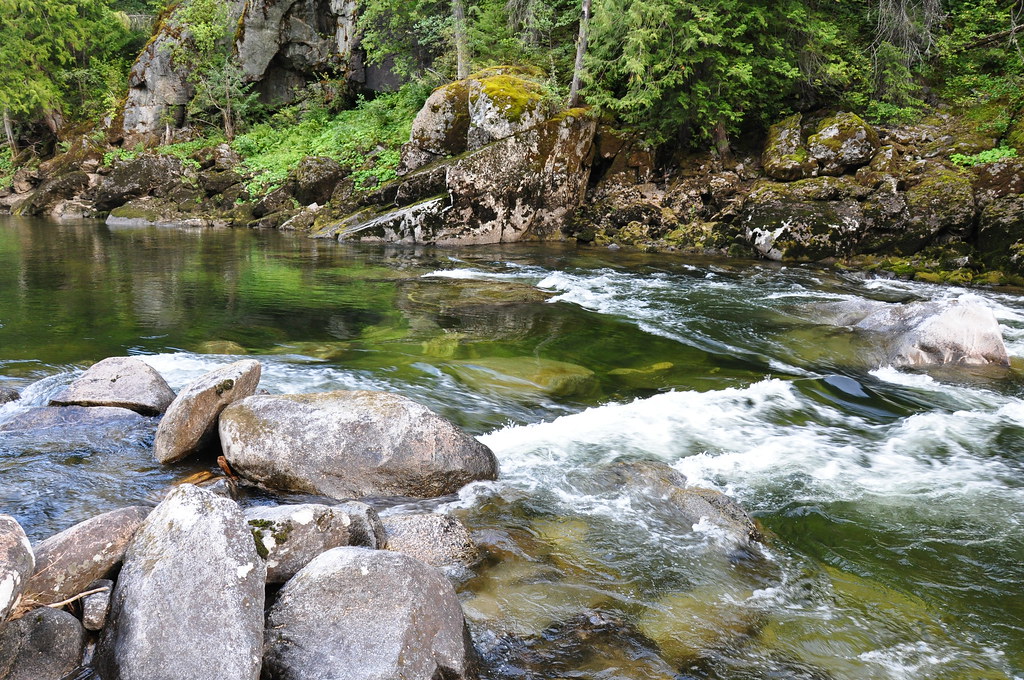 Selway River TrailHiking · ~13 min drivePhoto: araddon, CC BY 2.0 (via Flickr)CUPBOARD CREEKHiking · ~13 min drivePhoto: araddon, CC BY 2.0 (via Flickr)
Best months: June–August. Best months have typical highs of 55–85 °F, lows of 30 °F or warmer (32 °F where the station doesn't record snow), at most one snowy day and no more than 12 wet days.
Jan
31° / 5°
Feb
33° / 8°
Mar
38° / 13°
Apr
46° / 20°
May
57° / 28°
Jun
64° / 35°
Jul
76° / 39°
Aug
76° / 36°
Sep
65° / 31°
Oct
52° / 24°
Nov
36° / 14°
Dec
28° / 5°
Typical high / low (°F) and days with rain or snow, 1991–2020. Measured at Dixie N, ID, 30.2 mi away at 5,740 ft. The station sits about 1,100 ft lower than this place, so expect it a little cooler here. This station doesn't record snowfall. Source: NOAA NCEI U.S. Climate Normals 1991–2020.
Map and trail data © OpenStreetMap contributors
