
Village of Trees RV Resort
Hiking business nearby (~34 mi away) — hasn't claimed their Roamze page yet
0.8-mile out-and-back trail in Idaho with 167 ft elevation gain.
 Photo: cifraser1, CC BY 2.0 (via Flickr)
No closures listed
The National Park Service lists no closures for City of Rocks National Reserve.
As of · Source: NPS · City of Rocks National Reserve. Agencies don't list every closure — check before you go.
Best months: April–June and September–October. Best months have typical highs of 55–85 °F, lows of 30 °F or warmer (32 °F where the station doesn't record snow), at most one snowy day and no more than 12 wet days.
Jan
40° / 21°
6 wet
Feb
44° / 24°
6 wet
Mar
54° / 30°
7 wet
Apr
60° / 34°
8 wet
May
69° / 41°
9 wet
Jun
78° / 48°
6 wet
Jul
86° / 57°
4 wet
Aug
86° / 56°
4 wet
Sep
77° / 47°
4 wet
Oct
64° / 37°
5 wet
Nov
49° / 28°
6 wet
Dec
39° / 21°
6 wet
Typical high / low (°F) and days with rain or snow, 1991–2020. Measured at Oakley, ID, 13.4 mi away at 4,559 ft. We don't have this place's elevation, so higher spots nearby can run cooler. This station doesn't record snowfall. Source: NOAA NCEI U.S. Climate Normals 1991–2020.
King on the Throne is a short out-and-back trail in Idaho managed by the National Park Service. The route gains 167 feet of elevation over 0.8 miles.
Photo: cifraser1, CC BY 2.0 (via Flickr)BL East Approach
~0 min drive
BL East Approach is a 0.7-mile out-and-back trail in Idaho with 168 ft of elevation gain.
Parking Lot Rock Trailhead
~1 min drive
This is the end of the Creekside Towers Trail, or the beginning depending on which end you start from. If you need a rest stop there is a bathroom located about 500 ft up the road.
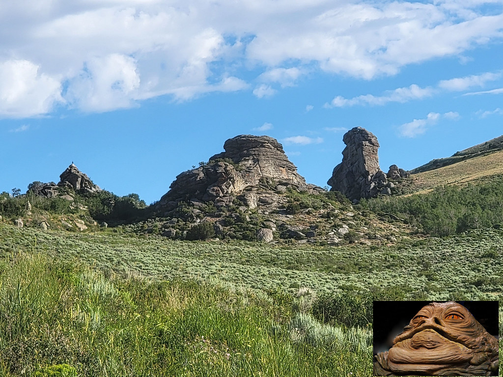 Photo: AndreyZharkikh, CC BY 2.0 (via Flickr)
Indian Grove
~2 min drive
Indian Grove is a 5.78-mile out-and-back trail in Idaho with 1,123 ft of elevation gain.
ALMO CREEK
~8 min drive
5.18-mile out-and-back trail in Idaho with 2,574 ft elevation gain and loss.
 Photo: cifraser1, CC BY 2.0 (via Flickr)
South Fork Circle Creek Trail
~1 min drive
2.12-mile out-and-back trail in Idaho with 568 ft elevation gain
California Trail History
~1 min drive
Look east and view Circle Creek Basin, where emigrants along the historic California Trail (1843-1882) camped, rested livestock, and left their names in axle grease. Be sure to take a short detour on the trail heading east to see some spectacular views.
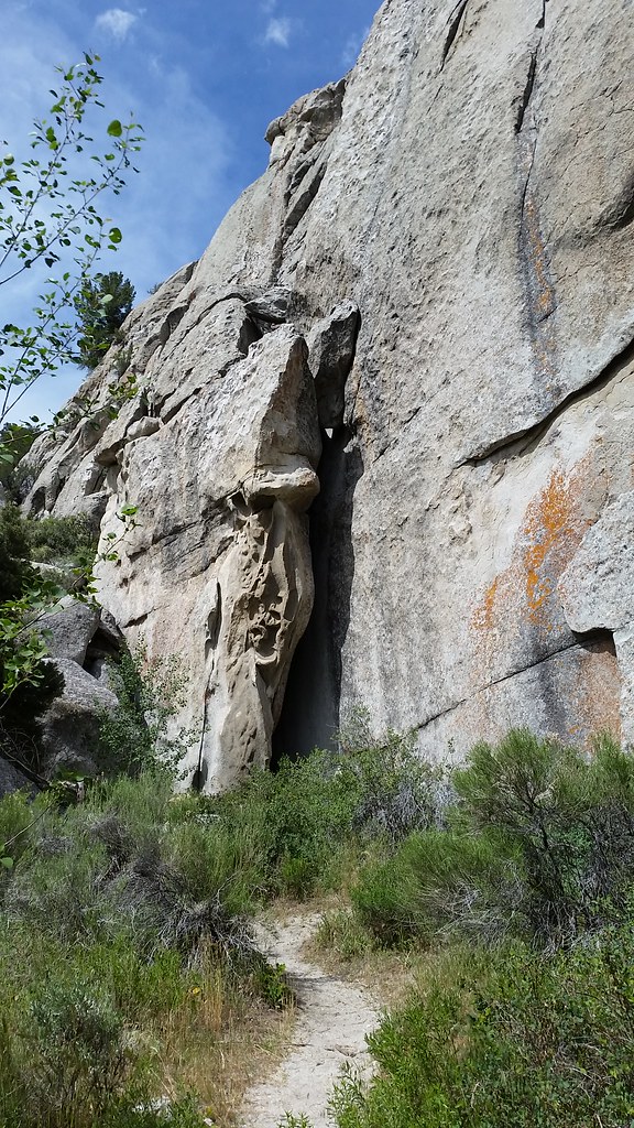 Photo: cifraser1, CC BY 2.0 (via Flickr)
Beef Jello Trail
~2 min drive
1.7-mile out-and-back trail in Idaho with 857 ft elevation gain.
 Photo: Bold Frontiers, CC BY 2.0 (via Flickr)
Creekside Towers Trail
~1 min drive
1.26-mile out-and-back hike in Idaho with 245 ft gain/loss.
Bath Rock Trail - 0.25 miles
~1 min drive
Starting from the parking lot, this short trail loops around the looming granite formation of Bath Rock. The rock is named for large natural pools of water atop this 240-foot tall monolith. Adventurous visitors can climb up the back side of Bath Rock where handles are affixed…
 Photo: Seth Tisue, CC BY-SA 2.0 (via Flickr)
Castle Rocks Trail
~8 min drive
8.68-mile out-and-back trail in Idaho with 894 ft of elevation gain.
Outfitters and businesses. They haven’t set up their Roamze page yet.
Village of Trees RV Resort
Hiking business nearby (~34 mi away) — hasn't claimed their Roamze page yet
