Sr444rd-021
Campground
Campground · 3.6 mi from the trail
Closure in the area
There's a closure order in Nez Perce-Clearwater National Forest. It doesn't name KENTUCKY CREEK, so check the source for the area it covers (2 listed).
Updated 250 Road Closure
Agency closure covering Nez Perce-Clearwater National Forest · USFS · Nez Perce-Clearwater National Forest
Red River Ranger District Road Closures
Agency closure covering Red River Ranger District · Order 01-17-05-26-002 · USFS · Red River Ranger District
NFSR #1803 Road Closure
Agency alert covering Red River Ranger District · Order 01-17-05-26-001 · USFS · Red River Ranger District
Laird Park Water Unavailable For 2026 Season
Agency alert covering Nez Perce-Clearwater National Forest · USFS · Nez Perce-Clearwater National Forest
As of · Source: USFS · Nez Perce-Clearwater National Forest. Agencies don't list every closure — check before you go.
Kentucky Creek is a long, steep out-and-back hike in Idaho's Gospel-Hump Wilderness, part of the Red River Ranger District of the Nez Perce-Clearwater National Forest. The route starts at about 7,200 feet and climbs to a high point of 7,552 feet, with a total elevation gain of 4,477 feet over the course of the trip. The climb is steady, and the steepest stretch comes at about 6.2 miles in, where the grade reaches 41 percent. The round-trip distance is about 15.7 miles, and the hike is rated expert. The trail lies within designated wilderness, and the Forest Service manages the surrounding land. Plan on about 7.5 hours for the trip, and expect the most comfortable conditions in late summer, when typical averages from a nearby weather station run in the low 80s by day and the low 40s at night. Several other routes sit close by. Hidden Lake Trail is about 1.4 miles away, and Boundary Peak Trail and Twin Lakes Trail are each within about 3 miles. For an overnight base, Wildhorse campground is about 7.7 miles off.
Sr444rd-021
Campground
Places © Overture Maps Foundation
More in Elk City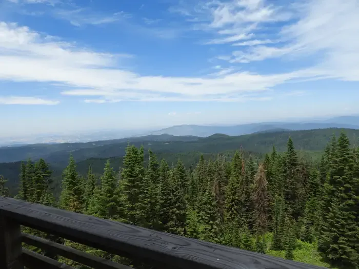 Lookout Butte LookoutCampingPhoto: Recreation.gov (RIDB) / public domain9.1 mi
Source: Roamze catalog (indexable pages within 10 miles, PostGIS distance)
