Howard Slough Trail
- 0.9 mi
- round trip
- 212 ft
- climb
- 6,531 ft
- high point
- Out and back
- route
- Jun–Aug
- best months
Howard Slough Trail is a short, easy out-and-back hike in Henrys Lake State Park in Idaho, managed by State Park and Recreation. The trail is 1.7 miles long and rises about 116 feet one way, with the high point at 6,531 feet. The climb is front-loaded, with the steepest stretch at about 0.8 miles into the route, and the trail returns to its starting point, so the total gain and loss are both about 212 feet. Summer is the most comfortable time to go. Typical averages from a nearby weather station at a similar elevation show July highs around 80°F with lows near 39°F, and September highs back to about 68°F. The trail takes about half an hour to complete. Outlet Overlook Trail is about 0.4 miles away, and Sage Hill Trail is about 0.5 miles away. Henrys Lake Boat Access is roughly 2.7 miles off, and Flatrock Campground sits about 8.5 miles away.
- Outlet Overlook TrailHiking0.4 mi
- Sage Hill TrailHiking0.5 mi
- Henrys Lake Boat AccessLake fishing2.7 mi
- Targhee CreekHiking4.4 mi
- Flatrock CampgroundCamping8.5 mi
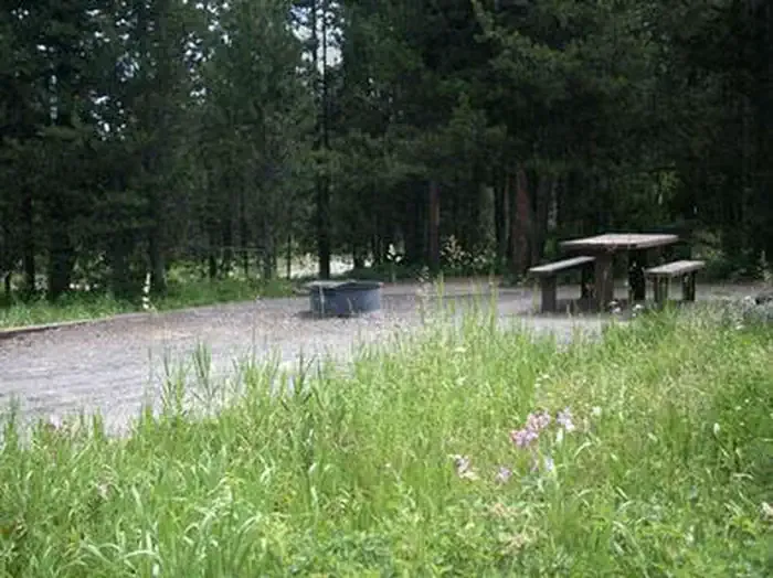 Flat Rock (idaho)CampingPhoto: Recreation.gov (RIDB) / public domain8.5 mi
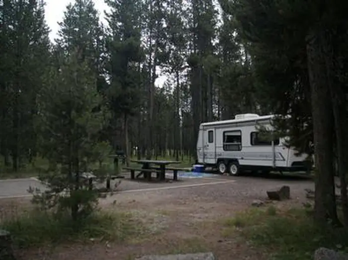 Flat RockRiver fishing8.5 mi
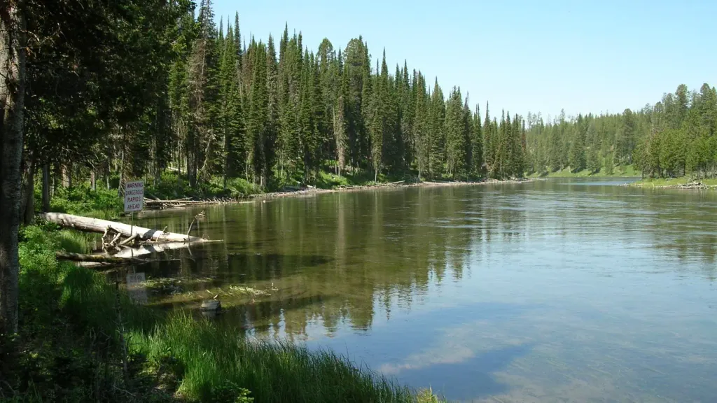 Upper Coffee PotCampingPhoto: Recreation.gov (RIDB) / public domain8.8 mi
Source: Roamze catalog (indexable pages within 10 miles, PostGIS distance)
 Coffee Pot RapidsHiking · ~15 min drivePhoto: James N Perdue, CC BY-SA 4.0 (via Wikimedia Commons)
 Big Springs Interpretive TrailHiking · ~17 min drivePhoto: James N Perdue, CC BY-SA 4.0 (via Wikimedia Commons)
- Targhee CreekHiking · ~8 min drive
- LOST MINE CANYONHiking · ~23 min drive
 HORSE BUTTE LOOP (SNOWMO)Hiking · ~21 min drivePhoto: Roebot, CC BY-SA 2.0 (via Flickr)
 South Boundary TrailHiking · ~23 min drivePhoto: sterferg, CC BY-SA 3.0 (via Wikimedia Commons)
- Dry ForkHiking · ~8 min drive
- East Fork Denny CreekHiking · ~12 min drive
- Outlet Overlook TrailHiking · Next door
- MOSQUITO CUTOFF (SNOWMO)Hiking · ~16 min drive
Best time to visit Howard Slough Trail
Best months: June–August. Best months have typical highs of 55–85 °F, lows of 30 °F or warmer (32 °F where the station doesn't record snow), at most one snowy day and no more than 12 wet days.
Jan
27° / 0°
Feb
31° / 1°
Mar
40° / 9°
Apr
48° / 21°
May
59° / 29°
Jun
68° / 34°
Jul
80° / 39°
Aug
78° / 36°
Sep
68° / 30°
Oct
51° / 21°
Nov
36° / 11°
Dec
26° / 3°
Typical high / low (°F) and days with rain or snow, 1991–2020. Measured at W Yellowstone Gateway, MT, 13.8 mi away at 6,679 ft. This station doesn't record snowfall. Source: NOAA NCEI U.S. Climate Normals 1991–2020.

Map and trail data © OpenStreetMap contributors
