Deer Creek Spur
- 1.5 mi
- round trip
- 1,868 ft
- climb
- 4,882 ft
- high point
- Out and back
- route
- Jun–Oct
- best months
Is Deer Creek Spur open right now?
Closure in the area
There's a closure order in Nez Perce-Clearwater National Forest. It doesn't name Deer Creek Spur, so check the source for the area it covers.
Updated 250 Road Closure
Agency closure covering Nez Perce-Clearwater National Forest · USFS · Nez Perce-Clearwater National Forest
Grangeville Salmon Road Closure Extension
Agency alert covering Salmon River Ranger District · Order 01-17-01-26-004 · USFS · Salmon River Ranger District
Laird Park Water Unavailable For 2026 Season
Agency alert covering Nez Perce-Clearwater National Forest · USFS · Nez Perce-Clearwater National Forest
As of · Source: USFS · Nez Perce-Clearwater National Forest. Agencies don't list every closure — check before you go.
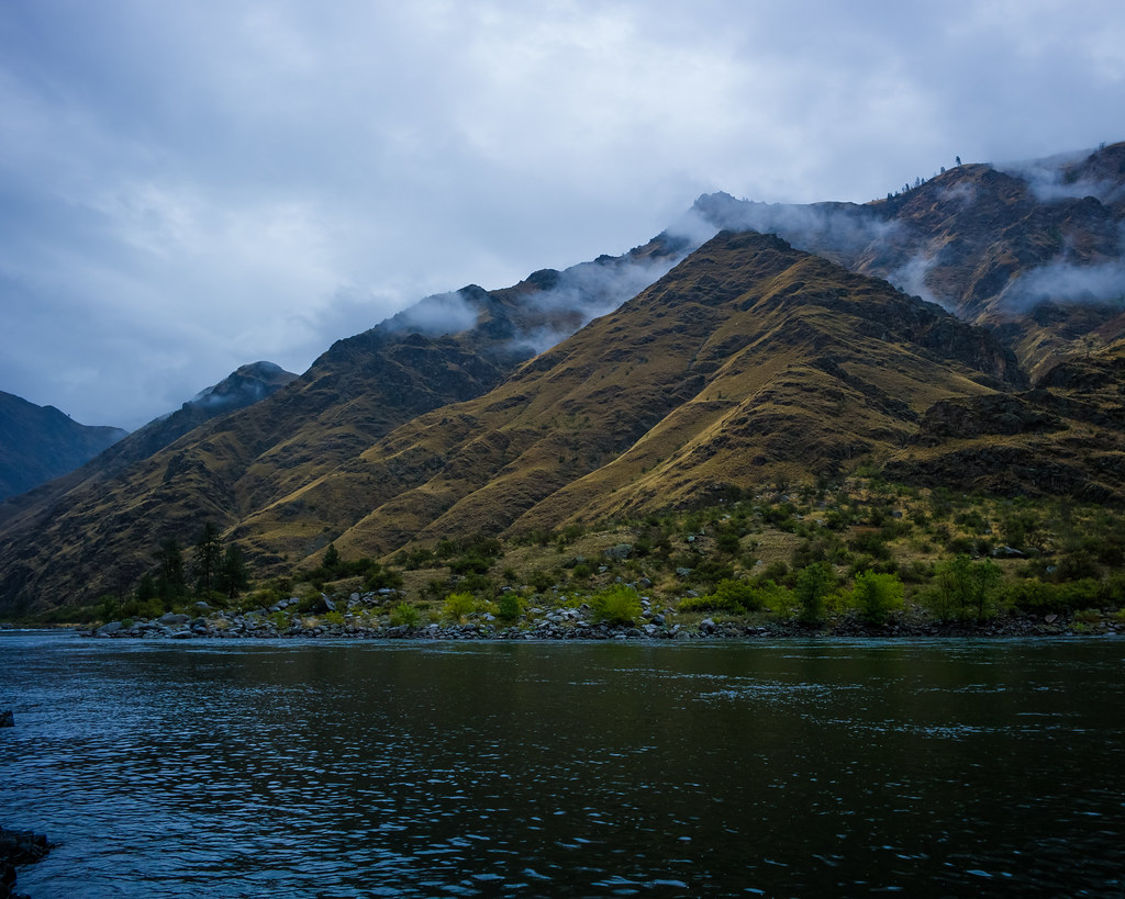
Deer Creek Spur is a moderate out-and-back hike in Idaho's Nez Perce-Clearwater National Forest, within the Salmon River Ranger District. The trail is about 2.9 miles long, with a total elevation gain of 1,868 feet, and it starts at roughly 4,080 feet, rising to a high point of about 4,882 feet. The climb is front-loaded, with the steepest stretch at about 0.39 miles in, where the grade reaches nearly 29 percent. Summer is the most comfortable time to go. Typical averages from a nearby weather station show July and August highs around 81°F with only about five or six wet days a month, while winter brings highs in the mid-30s and regular snow days. The trip takes about two hours. Camp Howard Trail lies just 0.2 miles away, and Deer Creek is about 0.8 miles off. Hells Canyon National Recreation Area - Idaho is about 1.3 miles away, and Pittsburg Campground is about 4.8 miles away.
Local outfitters
- Eagle Cap Mountain Guides45 mi away
- Oregon Backcountry Outfitting46 mi away
Not on Roamze yet. Their page has how to reach them.
- Camp Howard TrailHiking0.2 mi
- DEER CREEKHiking0.8 mi
- Hells Canyon National Recreation Area - IdahoRiver fishing1.3 mi
- Deer Creek TrailHiking2.6 mi
- Trail Creek TrailHiking4.2 mi
 Klopton Creek TrailHikingPhoto: WaterArchives.org from Sacramento, California, USA, CC BY-SA 2.0 (via Wikimedia Commons)4.8 mi
- Pittsburg CampgroundCamping4.8 mi
- White Bird CreekCanoeing8.9 mi
Source: Roamze catalog (indexable pages within 10 miles, PostGIS distance)
- Klopton Creek TrailHiking · ~8 min drivePhoto: WaterArchives.org from Sacramento, California, USA, CC BY-SA 2.0 (via Wikimedia Commons)
 Old Corral Creek TrailHiking · ~10 min drivePhoto: nan palmero, CC BY 2.0 (via Flickr)
- DEER CREEKHiking · ~1 min drive
- Deep Creek Ridge TrailHiking · ~16 min drive
- SHERWIN CREEKHiking · ~11 min drive
- Deer Creek TrailHiking · ~4 min drive
- Cat Creek TrailHiking · ~16 min drive
- Pittsburg Trail #1751AHiking · ~11 min drive
- CENTER RIDGEHiking · ~10 min drive
- LITTLE VAN BUREN CREEKHiking · ~18 min drive
Best time to visit Deer Creek Spur
Best months: June–October. Best months have typical highs of 55–85 °F, lows of 30 °F or warmer (32 °F where the station doesn't record snow), at most one snowy day and no more than 12 wet days.
Jan
37° / 25°
13 wet · 8 snow
Feb
40° / 26°
11 wet · 6 snow
Mar
48° / 30°
13 wet · 5 snow
Apr
54° / 35°
14 wet · 2 snow
May
63° / 42°
15 wet
Jun
69° / 48°
12 wet
Jul
81° / 56°
6 wet
Aug
81° / 56°
5 wet
Sep
72° / 49°
6 wet
Oct
57° / 39°
11 wet · 1 snow
Nov
44° / 30°
12 wet · 4 snow
Dec
36° / 24°
13 wet · 9 snow
Typical high / low (°F) and days with rain or snow, 1991–2020. Measured at Cottonwood 2 Wsw, ID, 24.5 mi away at 3,945 ft. The station sits about 900 ft lower than this place, so expect it a little cooler here. Source: NOAA NCEI U.S. Climate Normals 1991–2020.
Map and trail data © OpenStreetMap contributors
