Loading trail…

Free — you'll pick up right here.
Save this plan
Sign up to save your own editable copy — you'll pick up right here.
Idaho
1936.0 mi
Distance
615 ft
Gain
No conditions check on file for this trail yet — always verify current conditions before you go.
Why you'll love it
CDT - Idaho & Montana Section
AI-suggested draft · review before you go
No permit or access details on file for this trail — check with the local land manager before you go.
The CDT - Idaho & Montana Section is a 968-mile out-and-back trail located in Wyoming near the Wyoming area. This extensive backcountry route traverses rugged high country and remote wilderness terrain characteristic of the Northern Rockies. The trail offers serious hikers and backpackers a challenging multi-week or multi-month expedition through pristine alpine landscapes, mountain passes, and expansive wilderness corridors. As part of the Continental Divide Trail system, this section follows the spine of the Rocky Mountains, providing spectacular vistas and genuine backcountry solitude. The route demands significant preparation, reliable navigation skills, and experience with extended wilderness trips. Hikers should be equipped for rapidly changing mountain weather and prepared for resupply challenges in remote areas. This trail is best suited for experienced backpackers planning extended trips during summer and early fall months when high mountain passes are typically snow-free. The remote nature of the route means limited bailout options and significant distances between resupply points. Proper conditioning and thorough trip planning are essential for completing sections of this demanding alpine traverse.
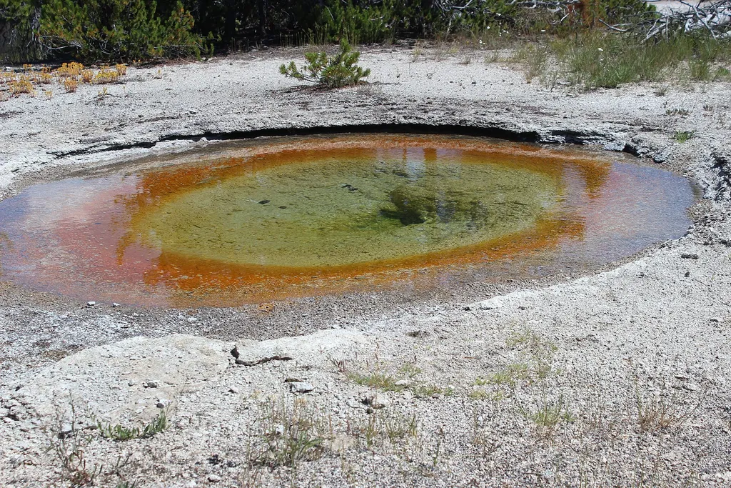
ESCAPE to Yellowstone Award Certificate
~19 min drive
<p>Congratulations! You have made it to the final stop along the ESCAPE to Yellowstone experience. Be proud! You have learned to build self-esteem and character, have tested your mental agility and physical fitness, and hopefully have had fun participating.</p> <p>Have your co…
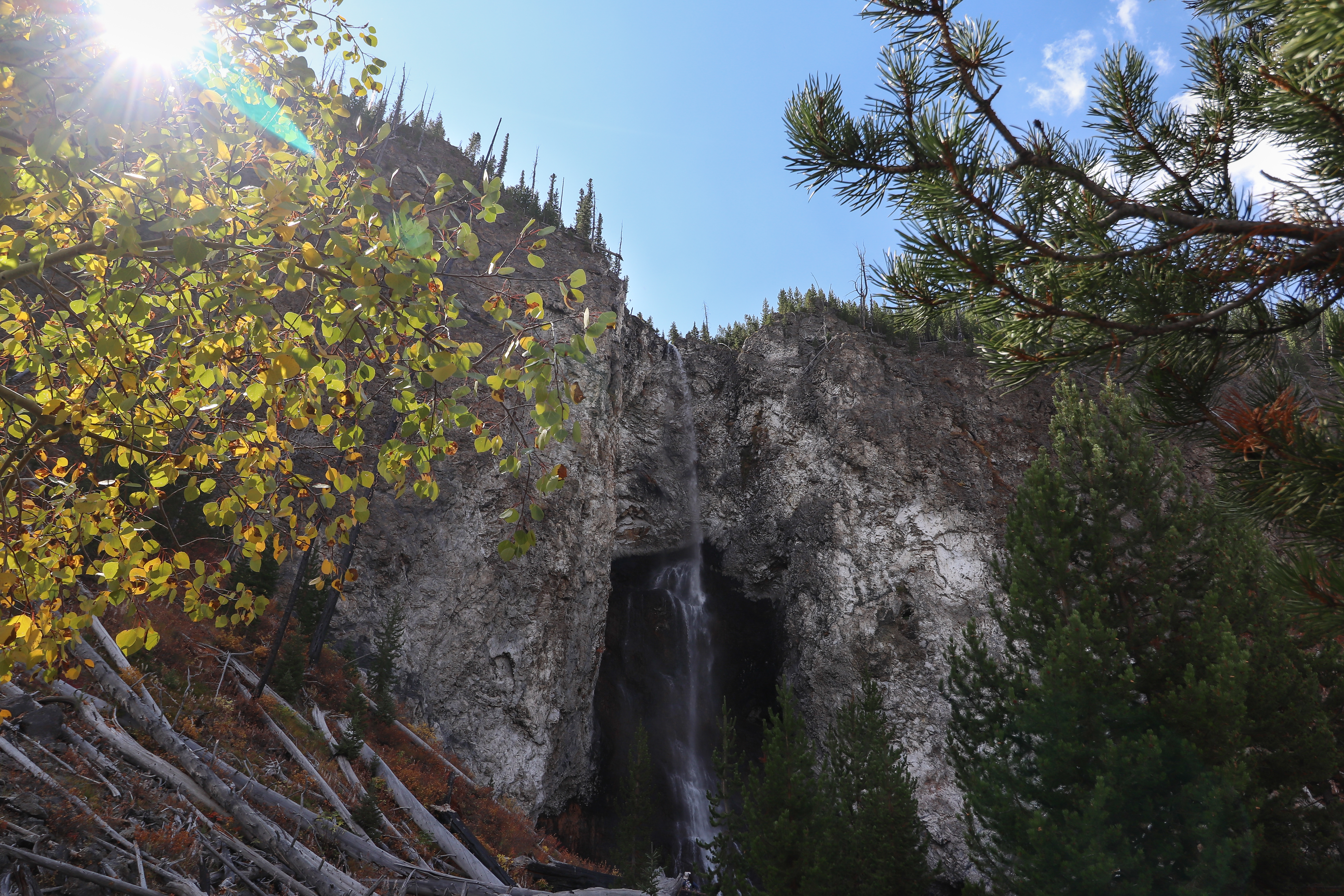
Fairy Falls Trailhead (OK5)
~22 min drive
This trailhead provides access to the following trails: Grand Prismatic Overlook Trail Fairy Falls Trail Grand Prismatic Overlook Trail An easy 1.2-mile (1.9-km) hike that gradually climbs 105 feet over 0.6 miles from the Fairy Falls Trailhead to a view looking down on Gra…

Fairy Falls Trail
~22 min drive
15 mi · Hard
Coffee Pot Rapids
~29 min drive
Easy riverside walk with whitewater rapids views and minimal elevation gain.
Forests and Fens
~20 min drive
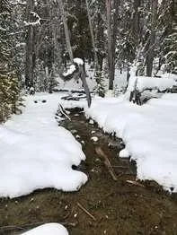
<p>This part of the boardwalk takes you through the edge of a lodgepole pine forest, the main type of forest found in the park. Below the pines are several wetland seeps. Seeps like these can provide habitat for rare plants.</p> <h2>Lodgepole Pine</h2> <p>The lodgepole pine (<…
Grand Prismatic Spring
~23 min drive
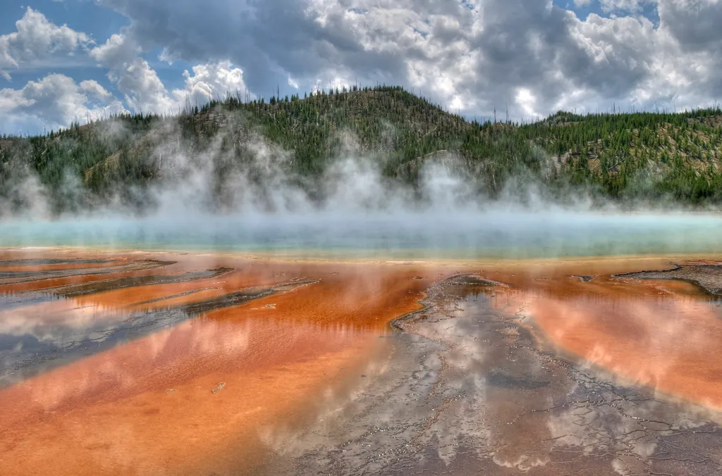
<p>Grand Prismatic Spring, Yellowstone’s largest hot spring, is 200-330 feet in diameter and more than 121 feet deep.</p> <p>Limited parking, especially 10 am-6 pm. Located in Midway Geyser Basin.</p> <h2>Hot Springs</h2> <p>Hot springs are the most common hydrothermal feature…
Flat Canyon
~24 min drive
Moderate 6.88-mile canyon hike with 1,276 ft elevation gain.
Box Canyon
~29 min drive
Easy 5.57-mile canyon walk with minimal elevation gain.
Firehole River
~20 min drive
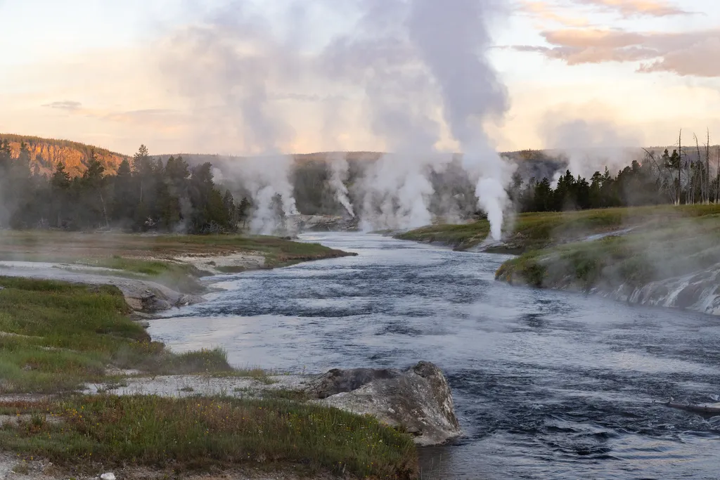
<p>The Firehole River starts and ends in Yellowstone National Park. It starts near Madison Lake, a small lake west of Shoshone Lake, and flows through the park 21 miles to Madison Junction. There it merges with the Gibbon River to form the Madison River.</p> <p>Along this cour…
Midway Geyser Basin Trailhead
~23 min drive
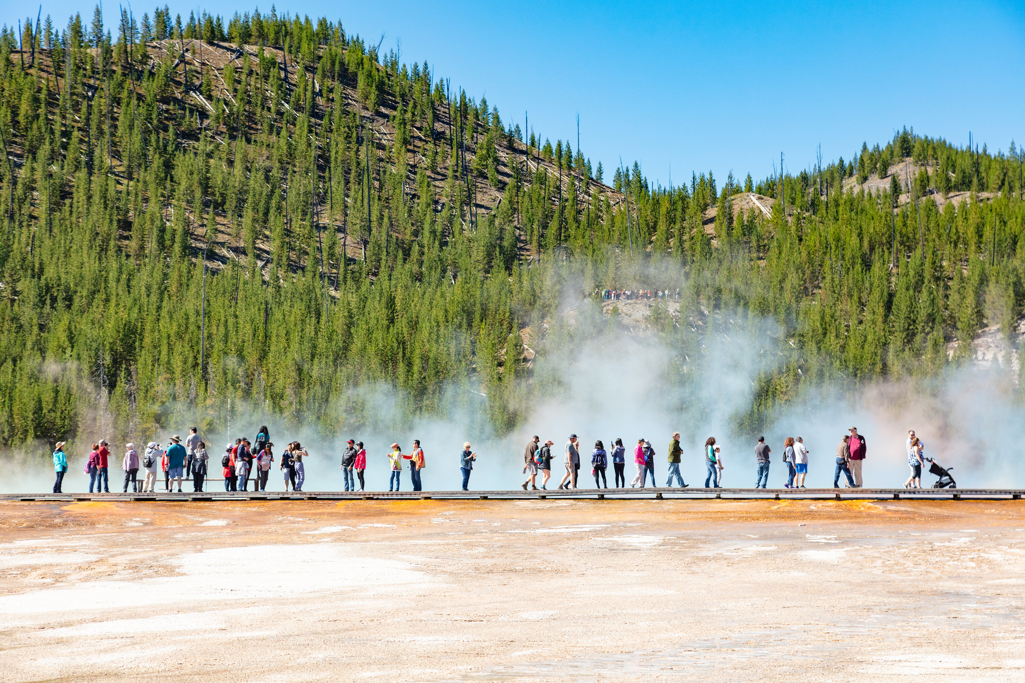
Midway Geyser Basin is small but spectacular. Excelsior Geyser is a 200 x 300 foot crater that constantly discharges more than 4,000 gallons of water per minute into the Firehole River. Grand Prismatic Spring, Yellowstone’s largest hot spring, is 200–330 feet in diameter and…