Lower Kootenai River Area
- Apr–Oct
- best months
Clear today
Weather is good · OpenWeather · checked 7 h ago
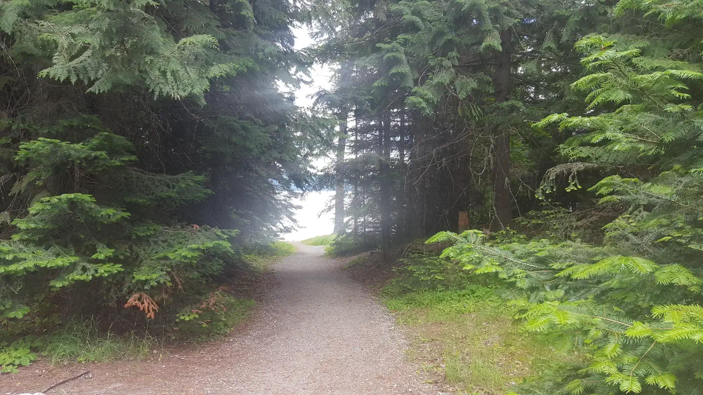
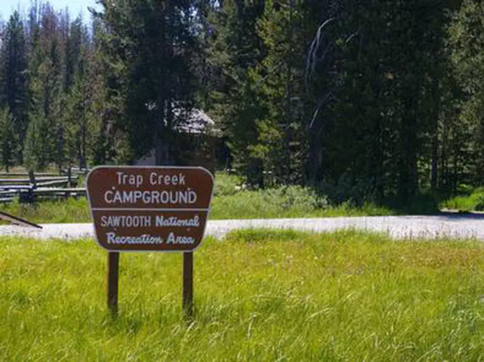
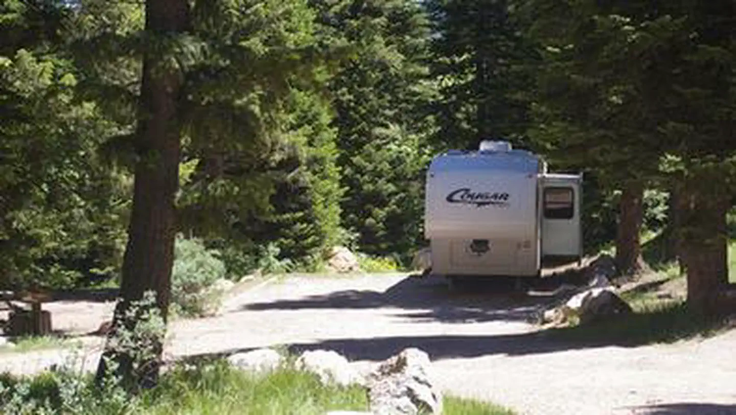
The Lower Kootenai River Area (Bonners Ferry District) is bordered by the Purcell and Cabinet Ranges and the Montana Line on the east, the rugged Selkirk Range on the west, and the Canadian border to the north. The Kootenai River meanders north and west through the District, and the Moyie River joins it from the north.Peaks are moderate in elevation (6000 - 7000 ft.) but are rugged due to heavy glaciation. They are renowned for their mountaineering challenge.There are many spectacular lakes, both low elevation lakes with easy access and high elevation, subalpine lakes, accessed only by trail or 'bushwhacking'.National Forest lands offer a full range of year-round recreational opportunities. Emphasis tends to be placed on backcountry, non-developed, semi-primitive recreation, yet urban activities such as auto touring, white water rafting, and car camping are common as well.More than 360 miles of summer use trail are open and usable on the District. Approximately 60 miles of that are open to motorized use; the remainder is suitable for stock use, hiking, and camping. Miles of gated road offer additional routes for mountain bikers, berry pickers, and hunters.Dispersed car camping is common throughout the District. Four campgrounds provide developed recreation opportunities in addition to several picnic and camping areas and interpretive sites.The District provides two lookouts and one cabin for rental to the public. Cold water and ice fishing are popular as are white water rafting, canoeing, and swimming. Berry and mushroom picking and Christmas tree cutting are seasonally popular.Winter provides thousands of acres for cross-country skiing and snowmobiling. Groomed routes vary from year to year.
Local outfitters
- Nordman Resort28 mi away
- Kootenai River Campground29 mi away
Not on Roamze yet. Their page has how to reach them.
- Ball Creek WallRock climbing5 mi
- Smith LakeCamping5.5 mi
- Burton RidgeHiking5.5 mi
 Myrtle FallsHikingPhoto: Stephen Wolfe from Columbus, OH, USA, CC BY 2.0 (via Wikimedia Commons)5.6 mi
- Ole Humpback TrailHikingPhoto: Stephen Wolfe from Columbus, OH, USA, CC BY 2.0 (via Wikimedia Commons)6.1 mi
- Deep Creek TrailHikingPhoto: Stephen Wolfe from Columbus, OH, USA, CC BY 2.0 (via Wikimedia Commons)6.2 mi
- Brush LakeCamping7.5 mi
- Brush Lake cragsRock climbing8.1 mi
Source: Roamze catalog (indexable pages within 10 miles, PostGIS distance)
- Beaver CreekLake fishing · ~39 min drive
- Bonner LakeLake fishing · ~23 min drive
- Perkins LakeLake fishing · ~23 min drive
- Sinclair LakeLake fishing · ~23 min drive
- Robinson LakeLake fishing · ~26 min drive
- Priest LakeLake fishing · ~43 min drive
- Walsh LakeLake fishing · ~44 min drive
- Keokee LakeLake fishing · ~48 min drive
- Priest Lake AreaLake fishing · ~48 min drive
- Priest LakeLake fishing · ~49 min drive
Also worth it near here
Best time to visit Lower Kootenai River Area
Best months: April–October. Best months have typical highs of 55–85 °F, lows of 30 °F or warmer (32 °F where the station doesn't record snow), at most one snowy day and no more than 12 wet days.
Jan
34° / 24°
12 wet · 8 snow
Feb
39° / 25°
9 wet · 4 snow
Mar
48° / 30°
10 wet · 2 snow
Apr
59° / 36°
9 wet
May
69° / 43°
10 wet
Jun
75° / 49°
10 wet
Jul
85° / 53°
6 wet
Aug
85° / 52°
5 wet
Sep
73° / 45°
7 wet
Oct
56° / 36°
10 wet
Nov
41° / 30°
13 wet · 3 snow
Dec
33° / 24°
13 wet · 8 snow
Typical high / low (°F) and days with rain or snow, 1991–2020. Measured at Bonners Ferry, ID, 7.2 mi away at 2,075 ft. Source: NOAA NCEI U.S. Climate Normals 1991–2020.