Iron Phone Junction
- Jun–Aug
- best months
Is Iron Phone Junction open right now?
Closure in the area
There's a closure order in Nez Perce-Clearwater National Forest. It doesn't name Iron Phone Junction, so check the source for the area it covers.
Updated 250 Road Closure
Agency closure covering Nez Perce-Clearwater National Forest · USFS · Nez Perce-Clearwater National Forest
Grangeville Salmon Road Closure Extension
Agency alert covering Salmon River Ranger District · Order 01-17-01-26-004 · USFS · Salmon River Ranger District
Laird Park Water Unavailable For 2026 Season
Agency alert covering Nez Perce-Clearwater National Forest · USFS · Nez Perce-Clearwater National Forest
As of · Source: USFS · Nez Perce-Clearwater National Forest. Agencies don't list every closure — check before you go.
- At 5,331 ft
- Salmon River Ranger DistrictNez Perce-Clearwater National Forest
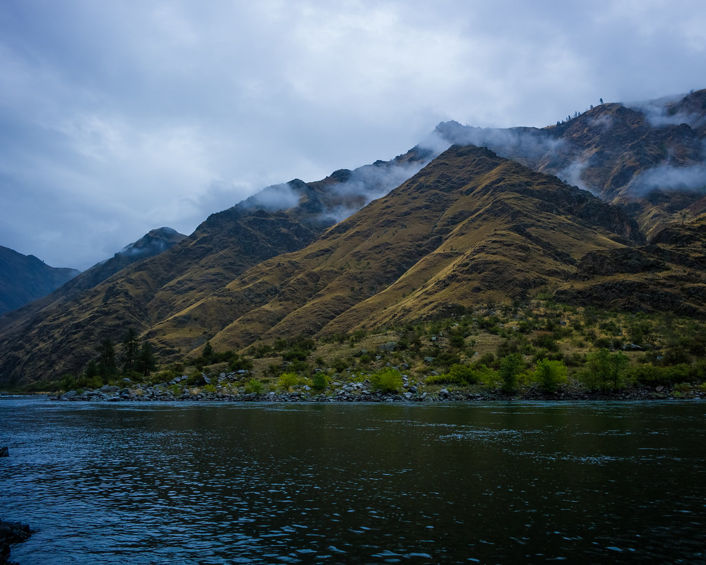
Iron Phone Junction is a Forest Service campground in Idaho's Nez Perce-Clearwater National Forest, within the Salmon River Ranger District. It is a simple base with vault toilets, and no fees are required to use the site. Summer is the most comfortable time to visit. Typical averages from a nearby weather station in Warren, Idaho, run to highs around 79°F in July and August, while winter highs there sit in the mid-30s and lows near 7°F. Several trails lie close by, including the Stormy Point North Trail and Kessler Creek Trail, both within about 4 miles. Pittsburg Campground, about 7.6 miles away, offers another camping option. Sheep Creek, roughly 8 miles off, is a canoeing spot.
Local outfitters
- Oregon Backcountry Outfitting41 mi away
- Eagle Cap Mountain Guides45 mi away
Not on Roamze yet. Their page has how to reach them.
- Stormy Point North TrailHiking3.6 mi
- Kessler Creek TrailHiking3.9 mi
- GRAVES CREEKHiking5.2 mi
- Temperence Creek TrailHiking5.4 mi
- Pittsburg CampgroundCamping7.6 mi
- Sheep CreekCanoeing8.3 mi
- Hells Canyon National Recreation Area - IdahoRiver fishing8.9 mi
- The AmphitheaterRock climbing10 mi
Source: Roamze catalog (indexable pages within 10 miles, PostGIS distance)
- Iron Phone Junction CampgrondCamping · Next door
- Sr241rd-003Camping · Next door
- Sr247rd-001Camping · ~4 min drive
- Sr247rd-002Camping · ~4 min drive
- Sr241rd-002Camping · ~5 min drive
- Sr672rd-005Camping · ~5 min drive
- Sr672rd-004Camping · ~6 min drive
- Sr76066rd-001Camping · ~6 min drive
- Sr240rd-001Camping · ~6 min drive
- Sr241rd-001Camping · ~7 min drive
Best time to visit Iron Phone Junction
Best months: June–August. Best months have typical highs of 55–85 °F, lows of 30 °F or warmer (32 °F where the station doesn't record snow), at most one snowy day and no more than 12 wet days.
Jan
35° / 7°
Feb
41° / 7°
Mar
46° / 17°
Apr
50° / 20°
May
59° / 27°
Jun
68° / 34°
Jul
79° / 37°
Aug
79° / 35°
Sep
69° / 30°
Oct
56° / 23°
Nov
41° / 16°
Dec
34° / 9°
Typical high / low (°F) and days with rain or snow, 1991–2020. Measured at Warren, ID, 40.5 mi away at 5,907 ft. The station sits about 600 ft higher than this place, so expect it a little warmer here. This station doesn't record snowfall. Source: NOAA NCEI U.S. Climate Normals 1991–2020.