Fs Trail 268 (Two Mouth Lakes Access)
Is Fs Trail 268 (Two Mouth Lakes Access) open right now?
Closure in the area
There's a closure order in Idaho Panhandle National Forests. It doesn't name Fs Trail 268 (Two Mouth Lakes Access), so check the source for the area it covers (3 listed).
Emergency Road Closure Lightning Creek / Forest Road 419
Agency closure covering Idaho Panhandle National Forests · Order 0104-06-26-002 · USFS · Idaho Panhandle National Forests
Abandoned Mines Area Closure
Agency closure covering Idaho Panhandle National Forests · Order 1-04-00-25-001 · USFS · Idaho Panhandle National Forests
Idaho Panhandle Seasonal Food Storage Order
Agency closure covering Idaho Panhandle National Forests · Order 01-04-00-24-001 · USFS · Idaho Panhandle National Forests
Trail 16 Canyon Creek (Long Canyon) Closure
Agency alert covering Bonners Ferry Ranger District · Order 01-04-07-26-007 · USFS · Bonners Ferry Ranger District
Heavy Truck Traffic on FS Road 209
Agency alert covering Idaho Panhandle National Forests · USFS · Idaho Panhandle National Forests
As of · Source: USFS · Idaho Panhandle National Forests. Agencies don't list every closure — check before you go.
- At 4,884 ft
- Bonners Ferry Ranger DistrictIdaho Panhandle National Forests
Fs Trail 268 (Two Mouth Lakes Access) is a U.S. Forest Service campground in the Bonners Ferry Ranger District of the Idaho Panhandle National Forests, about 10 miles from the town of Bonners Ferry, Idaho. It serves as a base for exploring the Two Mouth Lakes area, with the Two Mouth Lakes hike just 0.3 miles away. Entry is free, according to Forest Service records. That makes it an easy stop for a day or night in the district, with several other spots close at hand. Nearby, the Two Mouth Lakes hike starts within a third of a mile, and the Myrtle 2 aka "Turtle Arches" climbing area is under a mile off. Fs Trail 286 (Myrtle Peak/Lake Access) and the Myrtle Creek Pack River hike are both within about a mile.
Local outfitters
- Nordman Resort16 mi away
- The Hemlocks RV & Lodging23 mi away
Not on Roamze yet. Their page has how to reach them.
- Two Mouth LakesHiking0.3 mi
- Myrtle 2 aka "Turtle Arches"Rock climbing0.8 mi
- Fs Road 2409 (@ Fs Trail 6 Th) (Harrison Lake AcceCamping1 mi
- Myrtle Creek Pack RiverHiking1 mi
- TWO MOUTH LAKES SPURHiking1.1 mi
- Fs Trail 286 (Myrtle Peak/Lake Access)Camping1.6 mi
- Harrison PeakRock climbing2.2 mi
- Fs Trail 187 (Bottleneck Lake Access)Camping3.5 mi
Source: Roamze catalog (indexable pages within 10 miles, PostGIS distance)
- Two Mouth Lakes (Upper)Camping · ~2 min drive
- Fs Trail 268 (Two Mouth Lakes Access)Camping · ~2 min drive
- Two Mouth Lakes (Lower)Camping · ~2 min drive
- Fs Trail 6 (Harrison Lake Access)Camping · ~3 min drive
- Fs Trail 286 (Myrtle Peak/Lake Access) Camping · ~3 min drive
- Fs Trail 286 (Myrtle Peak/Lake Access) Camping · ~4 min drive
- Fs Trail 187 (Bottleneck Lake Access)Camping · ~6 min drive
- Fs Road 402Camping · ~6 min drive
- Fs Road 402 (@ Fs Trail 185 Th)Camping · ~6 min drive
- Bottleneck LakeCamping · ~7 min drive
Also worth it near here
- Myrtle 2 aka "Turtle Arches"Rock climbing · ~1 min drive
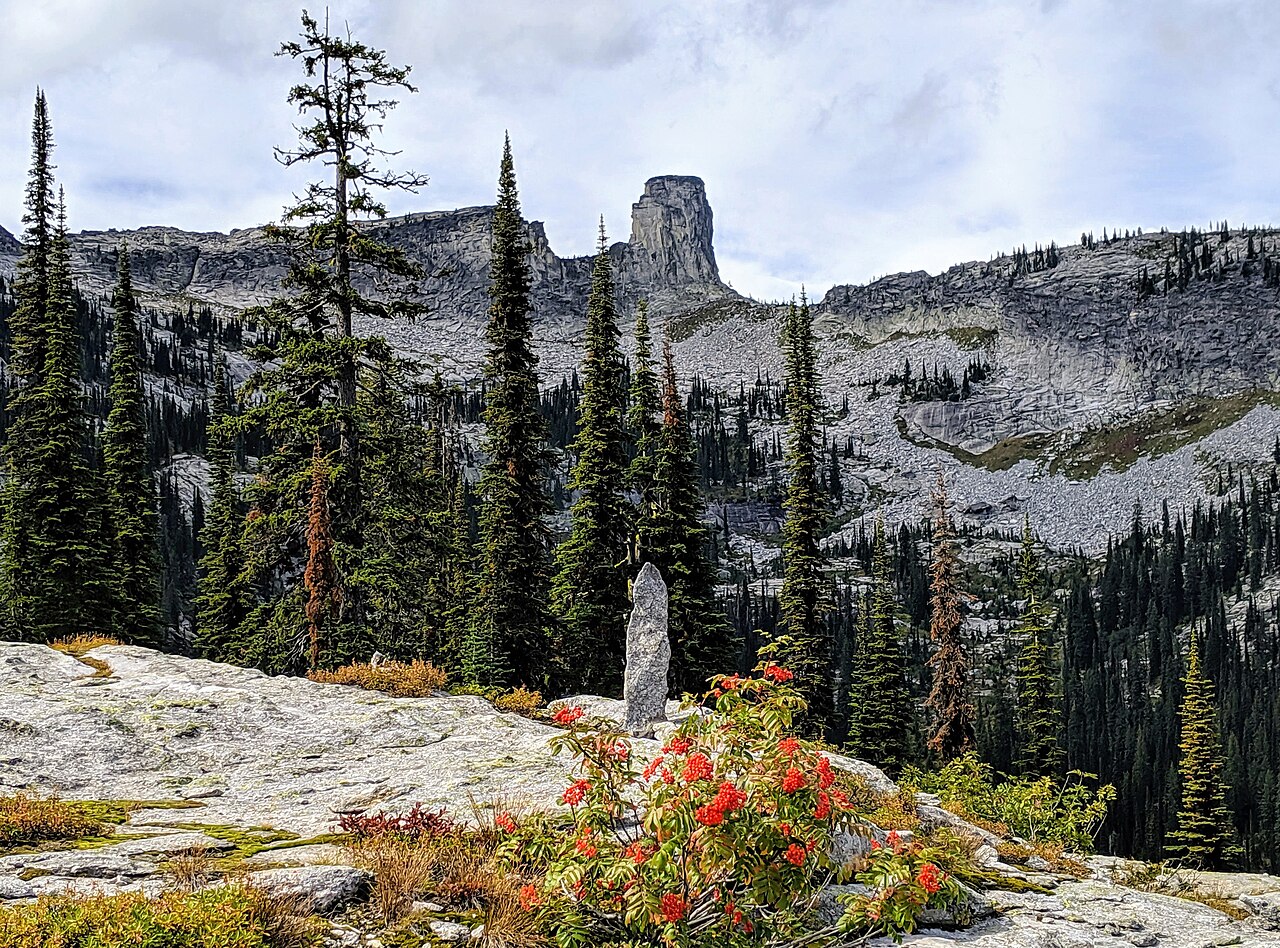 Chimney RockSummit · ~13 min drivePhoto: Forest Service Northern Region, Public domain (via Wikimedia Commons)
 Myrtle FallsHiking · ~17 min drivePhoto: Stephen Wolfe from Columbus, OH, USA, CC BY 2.0 (via Wikimedia Commons)
- Caribou FallsWaterfall · ~17 min drive
