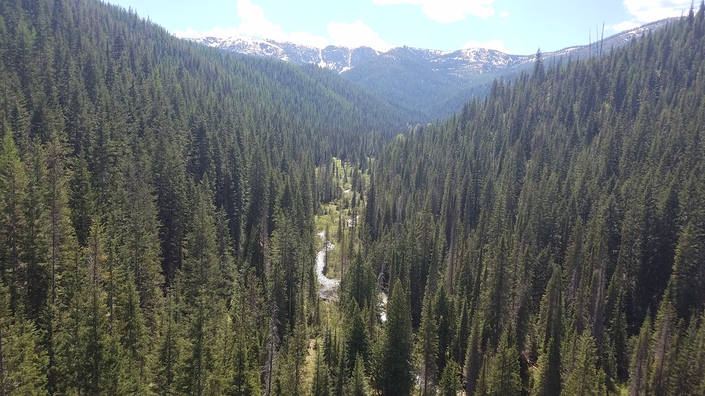
Fh 50 Mi 59.7 Site B
- May–Sep
- best months
Is Fh 50 Mi 59.7 Site B open right now?
Closure in the area
There's a closure order in Idaho Panhandle National Forests. It doesn't name Fh 50 Mi 59.7 Site B, so check the source for the area it covers (4 listed).
Emergency Road Closure Lightning Creek / Forest Road 419
Agency closure covering Idaho Panhandle National Forests · Order 0104-06-26-002 · USFS · Idaho Panhandle National Forests
Emergency Road Closure Forest Road 225, Slate Creek
Agency closure covering St. Joe Ranger District · Order 01-04-04-26-001 · USFS · St. Joe Ranger District
Abandoned Mines Area Closure
Agency closure covering Idaho Panhandle National Forests · Order 1-04-00-25-001 · USFS · Idaho Panhandle National Forests
Idaho Panhandle Seasonal Food Storage Order
Agency closure covering Idaho Panhandle National Forests · Order 01-04-00-24-001 · USFS · Idaho Panhandle National Forests
Heavy Truck Traffic on FS Road 209
Agency alert covering Idaho Panhandle National Forests · USFS · Idaho Panhandle National Forests
As of · Source: USFS · Idaho Panhandle National Forests. Agencies don't list every closure — check before you go.
- At 2,884 ft
- St. Joe Ranger DistrictIdaho Panhandle National Forests
Fh 50 Mi 59.7 Site B is a campground in Idaho with 5 sites. It is managed by the Forest Service.
Local outfitters
- Campground St. Regis22 mi away
- CDA River RV41 mi away
Not on Roamze yet. Their page has how to reach them.
- Tin Can FlatCamping1.1 mi
- MALIN RIDGEHiking1.1 mi
- Allen RidgeHiking2.4 mi
- Malin PointSummit2.6 mi
- Bernier CreekHiking2.6 mi
- Turner FlatCamping2.7 mi
- Turner PeakSummit3.5 mi
- Bernier PointSummit5.5 mi
Source: Roamze catalog (indexable pages within 10 miles, PostGIS distance)
- Fh 50 Mi 59.7 Site ACamping · Next door
- Fh 50 Mi 59.6Camping · Next door
- Fh 50 Mi 59.0Camping · ~1 min drive
- Fh 50 Mi 61.1Camping · ~2 min drive
- Fh 50 Mi 61.7Camping · ~3 min drive
- Bird CrCamping · ~3 min drive
- Fh 50 Mi 57.2 Site BCamping · ~3 min drive
- Rd 338 Mi 8.3Camping · ~3 min drive
- Rd 338 Mi 0.9Camping · ~3 min drive
- Fh 50 Mi 56.7Camping · ~4 min drive
Best time to visit Fh 50 Mi 59.7 Site B
Best months: May–September. Best months have typical highs of 55–85 °F, lows of 30 °F or warmer (32 °F where the station doesn't record snow), at most one snowy day and no more than 12 wet days.
Jan
31° / 17°
Feb
36° / 18°
Mar
44° / 23°
Apr
54° / 27°
May
65° / 34°
Jun
71° / 40°
Jul
84° / 43°
Aug
83° / 41°
Sep
72° / 35°
Oct
53° / 30°
Nov
38° / 24°
Dec
30° / 18°
Typical high / low (°F) and days with rain or snow, 1991–2020. Measured at Haugan 1 W, MT, 13.5 mi away at 3,160 ft. This station doesn't record snowfall. Source: NOAA NCEI U.S. Climate Normals 1991–2020.