Big Snag Campsite
Is Big Snag Campsite open right now?
Alert in the area
The Forest Service lists an alert for Salmon-Challis National Forest.
Stoddard Bridge Construction Closure
Agency alert covering Salmon-Challis National Forest · Order 0413-07-17 · USFS · Salmon-Challis National Forest
As of · Source: USFS · Salmon-Challis National Forest. Agencies don't list every closure — check before you go.
- At 4,864 ft
- Frank Church-River of No Return WildernessMiddle Fork Ranger District · Salmon-Challis National Forest
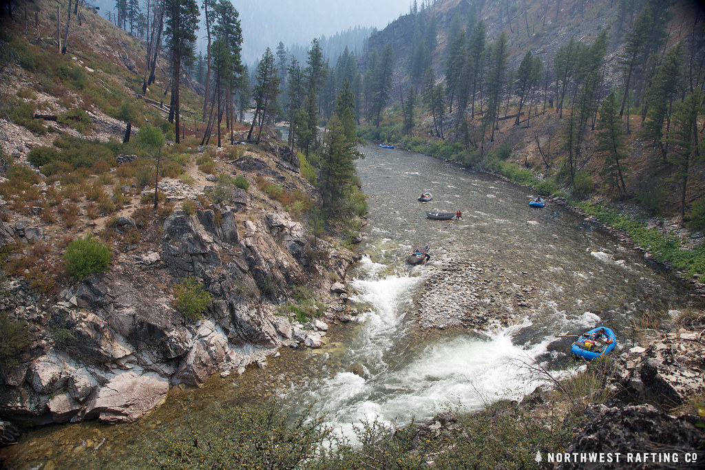
Big Snag Campsite is a campground in Idaho at about 4,864 feet. It is managed by the U.S. Forest Service.
Keep exploring — more campsites worth the drive
BED
Dolly Lake Campsite
Next door
Dolly Lake Campsite is a campground in Idaho at about 4,854 feet. It is managed by the U.S. Forest Service.
BED
Rapid River Campsite
~2 min drive
Rapid River Campsite is a campground in Idaho at about 4,908 feet. It is managed by the U.S. Forest Service.
BED
Pistol Creek Campsite
~3 min drive
Pistol Creek Campsite is a campground in Idaho at about 4,759 feet. It is managed by the U.S. Forest Service.
BED
Dome Hole Campsite
~6 min drive
Dome Hole Campsite is a campground in Idaho at about 5,009 feet. It is managed by the U.S. Forest Service.
BED
Greyhound Campsite
~6 min drive
Greyhound Campsite is a campground in Idaho at about 5,015 feet. It is managed by the U.S. Forest Service.
BED
Oakie Point Campsite
~6 min drive
Oakie Point Campsite is a campground in Idaho at about 5,024 feet. It is managed by the U.S. Forest Service.
BED
Johns Campsite
~6 min drive
Johns Campsite is a campground in Idaho at about 5,039 feet. It is managed by the U.S. Forest Service.
BED
Lake Creek Campsite
~7 min drive
Lake Creek Campsite is a campground in Idaho at about 5,067 feet. It is managed by the U.S. Forest Service.
BED
Airplane Campsite
~7 min drive
Airplane Campsite is a campground in Idaho at about 4,679 feet. It is managed by the U.S. Forest Service.
BED
Indian Creek Beach
~8 min drive
Indian Creek Beach is a campground in Idaho.
Map and trail data © OpenStreetMap contributors
