260 Mm 8.9
Campground
Campground · < 0.1 mi from the trail
Closure in the area
There's a closure order in Idaho Panhandle National Forests. It doesn't name 260 Mm 8.9, so check the source for the area it covers (4 listed).
Emergency Road Closure Lightning Creek / Forest Road 419
Agency closure covering Idaho Panhandle National Forests · Order 0104-06-26-002 · USFS · Idaho Panhandle National Forests
West Fork Eagle Creek/Forest Road 805
Agency closure covering Coeur d'Alene River Ranger District · Order 01-04-03-26-002 · USFS · Coeur d'Alene River Ranger District
Abandoned Mines Area Closure
Agency closure covering Idaho Panhandle National Forests · Order 1-04-00-25-001 · USFS · Idaho Panhandle National Forests
Idaho Panhandle Seasonal Food Storage Order
Agency closure covering Idaho Panhandle National Forests · Order 01-04-00-24-001 · USFS · Idaho Panhandle National Forests
Forest Service Roads 265, 422 and 911 Closure
Agency alert covering Coeur d'Alene River Ranger District · Order 01-04-03-26-018 · USFS · Coeur d'Alene River Ranger District
As of · Source: USFS · Idaho Panhandle National Forests. Agencies don't list every closure — check before you go.
260 MM 8.9 (Camping Area)
260 Mm 8.9
Campground
Staff House Museum
Museum
Places © OpenStreetMap contributors, Places © Overture Maps Foundation
More in KelloggNot on Roamze yet. Their page has how to reach them.
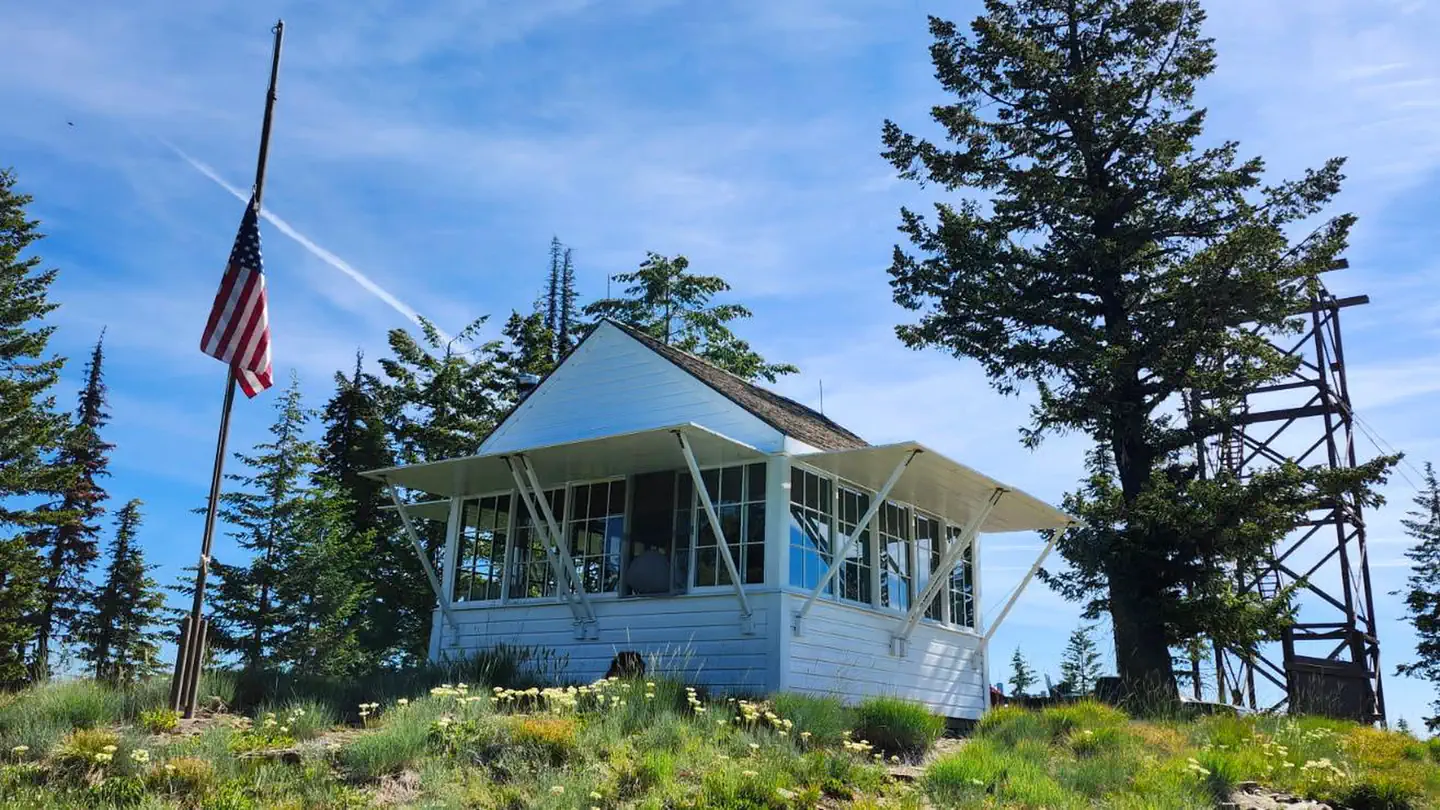 Spyglass Ground HouseRiver fishing4.7 mi
Source: Roamze catalog (indexable pages within 10 miles, PostGIS distance)
