Kona Trail
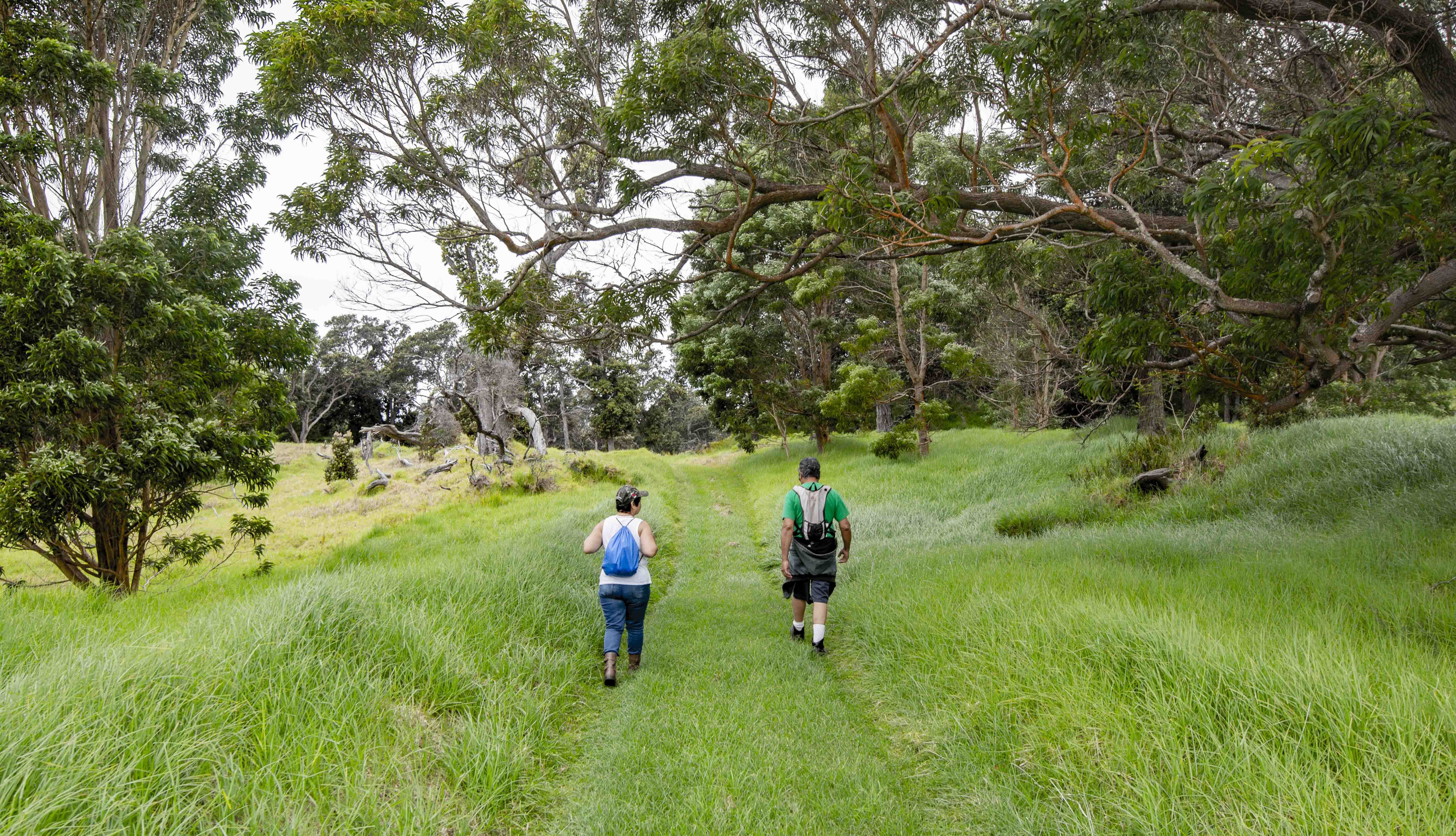 Photo: NPS Photo/M.Watanabe
- 2.1 mi
- distance
- 457 ft
- climb
A day hike on the Kona Trail takes you through scenic pasturelands scattered with large ʻōhiʻa trees and other vegetation. The trail also traverses the 1887 lava flow from Mauna Loa where lava flows reached the ocean in less than a day. Relics of Kahuku’s ranching era, pasture land and the 1887 lava flow define this trek. Kahuku Road above Upper Palm Trail to the ROD Quarantine Gate is not recommended for low-clearance vehicles. Hikers must decontaminate at the ROD quarantine gate.
- The Palm TrailHiking · ~3 min drive
- Mauna Loa Observatory TrailheadHiking · ~52 min drive
 Crater Rim TrailHiking · ~58 min drivePhoto: Meweldon, CC BY-SA 4.0 (via Wikimedia Commons)
- Devastation TrailHiking · ~1h 1m drive
 Kīlauea Iki TrailHiking · ~1h 2m drivePhoto: Jeff Kubina from Columbia, Maryland, CC BY-SA 2.0 (via Wikimedia Commons)
 Walua TrailHiking · ~1h 5m drivePhoto: Ken Lund from Reno, Nevada, USA, CC BY-SA 2.0 (via Wikimedia Commons)
Best time to visit Kona Trail
No month here meets our mild-weather rule. Best months have typical highs of 55–85 °F, lows of 30 °F or warmer (32 °F where the station doesn't record snow), at most one snowy day and no more than 12 wet days.
Jan
68° / 49°
22 wet
Feb
68° / 49°
20 wet
Mar
68° / 51°
25 wet
Apr
68° / 52°
26 wet
May
71° / 53°
26 wet
Jun
71° / 54°
25 wet
Jul
73° / 56°
26 wet
Aug
74° / 56°
25 wet
Sep
73° / 55°
24 wet
Oct
72° / 55°
25 wet
Nov
70° / 54°
26 wet
Dec
68° / 52°
25 wet
Typical high / low (°F) and days with rain or snow, 1991–2020. Measured at Hawaii Vol Np Hq 54, HI, 36.2 mi away at 3,971 ft. Source: NOAA NCEI U.S. Climate Normals 1991–2020.
