Yellow Trail
- 1.2 mi
- round trip
- 360 ft
- climb
- 1,036 ft
- high point
- Out and back
- route
- Feb–May, Sep–Dec
- best months
Yellow Trail is an easy hike of about 2.4 miles in Lake Charlotte Nature Preserve in Georgia, on city-managed land. It is an out-and-back route with a total elevation gain of 360 feet, and the high point of the trail sits at about 1,036 feet. The climb is moderate, with the steepest stretch at about 0.58 miles in, where the grade reaches 11 percent. Spring and fall are the most comfortable times to go. Typical averages from a nearby weather station show October highs around 74°F with lows near 55°F, and April is similar at about 74°F by day and 52°F at night. The hike takes about an hour. Within half a mile are Hickory Trail and Southside Park MTB - Oak Trail, and Yorkville Boulders is about 4 miles away for climbers.
- HIckory TrailHiking0.5 mi
- Southside Park MTB - Oak TrailHiking0.5 mi
- Southside Park MTB - Connector TrailHiking0.9 mi
- Southside Park MTB - Evergreen TrailHiking0.9 mi
- Yorkville BouldersRock climbing4 mi
- Panola Area 1Rock climbing4 mi
- Panola Area 2Rock climbing4 mi
 Flint RiverCanoeingPhoto: Michael Rivera, CC BY-SA 4.0 (via Wikimedia Commons)9 mi
Source: Roamze catalog (indexable pages within 10 miles, PostGIS distance)
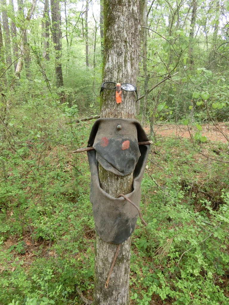 Green TrailHiking · ~5 min drivePhoto: Marcus O. Bst, CC BY 2.0 (via Flickr)
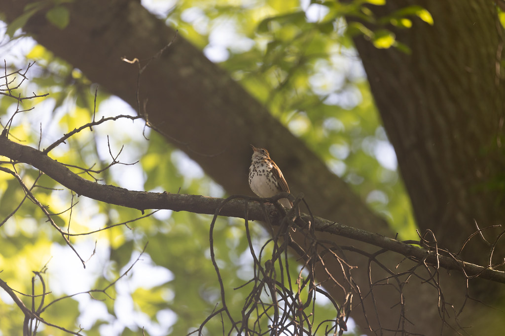 Eastside PathHiking · ~17 min drivePhoto: atlnature, CC BY 2.0 (via Flickr)
 Watershed LoopHiking · ~17 min drivePhoto: atlnature, CC BY 2.0 (via Flickr)
- Westside PathHiking · ~18 min drivePhoto: atlnature, CC BY 2.0 (via Flickr)
 Rock Outcrop TrailHiking · ~19 min drivePhoto: Rob Meeks, CC BY-SA 3.0 (via Wikimedia Commons)
 Wilburn Farm TrailHiking · ~21 min drivePhoto: David Leo Veksler, CC BY-SA 2.0 (via Flickr)
- Wilburn Farm TrailHiking · ~21 min drivePhoto: David Leo Veksler, CC BY-SA 2.0 (via Flickr)
 Boomerang TrailHiking · ~22 min drivePhoto: Rob Meeks, CC BY-SA 3.0 (via Wikimedia Commons)
- Laurel Creek TrailHiking · ~22 min drivePhoto: Rob Meeks, CC BY-SA 3.0 (via Wikimedia Commons)
 Mile Rock TrailHiking · ~22 min drivePhoto: Anthony Knuppel, CC BY 2.0 (via Flickr)
Best time to visit Yellow Trail
Best months: February–May and September–December. Best months have typical highs of 55–85 °F, lows of 30 °F or warmer (32 °F where the station doesn't record snow), at most one snowy day and no more than 12 wet days.
Jan
54° / 36°
11 wet · 1 snow
Feb
58° / 39°
10 wet
Mar
66° / 45°
10 wet
Apr
74° / 52°
9 wet
May
81° / 61°
10 wet
Jun
87° / 69°
11 wet
Jul
90° / 72°
12 wet
Aug
89° / 71°
10 wet
Sep
84° / 66°
7 wet
Oct
74° / 55°
7 wet
Nov
64° / 44°
8 wet
Dec
56° / 38°
11 wet
Typical high / low (°F) and days with rain or snow, 1991–2020. Measured at Atlanta Hartsfield Intl Ap, GA, 5.5 mi away at 1,010 ft. Source: NOAA NCEI U.S. Climate Normals 1991–2020.
Map and trail data © OpenStreetMap contributors
