Chickamauga Battlefield Group Campground
Campground
Campground · 0.8 mi from the trail
Alert in the area
The National Park Service lists an alert for Chickamauga and Chattanooga National Military Park.
Use Caution on NPS Trails on the West Side of Lookout Mountain
Park alert covering Chickamauga and Chattanooga National Military Park · NPS · Chickamauga and Chattanooga National Military Park
As of · Source: NPS · Chickamauga and Chattanooga National Military Park. Agencies don't list every closure — check before you go.
Trail Yellow 5A is a short, easy out-and-back hike in Chickamauga and Chattanooga National Military Park in Georgia, managed by the National Park Service. The route is about 1.2 miles long, with a low point of 798 feet and a high of 927 feet, so the one-way climb is about 103 feet. The trail is a quick walk, and the park's land makes it an easy addition to a visit to the national military park. Spring and fall are the most comfortable times to go. Typical averages from a nearby weather station show October highs around 75°F with lows near 47°F, and April highs around 73°F. That station sits a few hundred feet lower than the trail's high point, so temperatures on the higher ground run a little cooler. Trail Yellow 5B is about 0.4 miles away, and Green and Trail Yellow 5C are each within a mile. For paddling, the Catoosa County Blueway is about 2.2 miles off.
Chickamauga Battlefield Group Campground
Campground
BBQ Shack
Restaurant
 If it rainsC4K3, CC BY-SA 4.0 · Wikimedia Commons
Tow truck museum
Places © OpenStreetMap contributors · Photos: C4K3, CC BY-SA 4.0 (commons)
More in Red BankSource: Roamze catalog (indexable pages within 10 miles, PostGIS distance)
 TanHiking · ~2 min drivePhoto: Gary Lee Todd, Ph.D., Public Domain Dedication (CC0) (via Flickr)Trail Tan 2Hiking · ~3 min drivePhoto: Gary Lee Todd, Ph.D., Public Domain Dedication (CC0) (via Flickr)
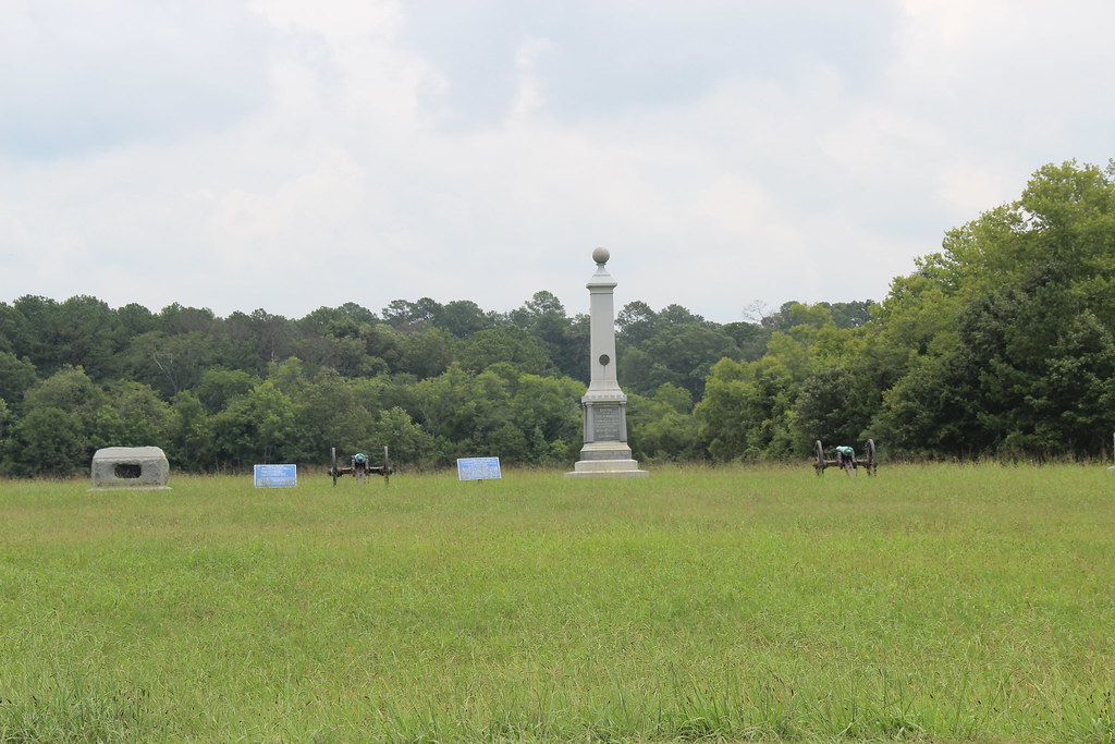 Trail Yellow 4Hiking · ~4 min drivePhoto: Gary Lee Todd, Ph.D., Public Domain Dedication (CC0) (via Flickr)Trail Blue 3Hiking · ~4 min drivePhoto: Gary Lee Todd, Ph.D., Public Domain Dedication (CC0) (via Flickr)
 Trail Yellow 3DHiking · ~5 min drivePhoto: Gary Lee Todd, Ph.D., Public Domain Dedication (CC0) (via Flickr)Trail Yellow 3CHiking · ~6 min drivePhoto: Gary Lee Todd, Ph.D., Public Domain Dedication (CC0) (via Flickr)
 Jedi TrailHiking · ~10 min drivePhoto: SeeMidTN.com (aka Brent), CC BY 2.0 (via Flickr)Bluff TrailHiking · ~10 min drivePhoto: SeeMidTN.com (aka Brent), CC BY 2.0 (via Flickr)
Best months: February–May and September–November. Best months have typical highs of 55–85 °F, lows of 30 °F or warmer (32 °F where the station doesn't record snow), at most one snowy day and no more than 12 wet days.
Jan
51° / 29°
10 wet
Feb
56° / 32°
10 wet
Mar
64° / 37°
10 wet
Apr
73° / 45°
9 wet
May
80° / 54°
10 wet
Jun
86° / 63°
9 wet
Jul
89° / 66°
11 wet
Aug
89° / 66°
9 wet
Sep
84° / 59°
7 wet
Oct
75° / 47°
7 wet
Nov
62° / 35°
8 wet
Dec
53° / 31°
10 wet
Typical high / low (°F) and days with rain or snow, 1991–2020. Measured at Chickamauga Pk Larc, GA, 1.3 mi away at 782 ft. This station doesn't record snowfall. Source: NOAA NCEI U.S. Climate Normals 1991–2020.
