The Spiral
- 0.6 mi
- loop
- 354 ft
- high point
- Loop
- route
- Easy
- difficulty
- Oct–Apr
- best months
The Spiral is a short, easy hike in Georgia, about half a mile long and roughly a mile from the town of Walden. It's a flat route, with no elevation gain and only a slight drop of about 16 feet along the way, so it works well as a quick stop or a warm-up before heading out on longer trails in the area. Spring and fall are the most comfortable times to go. Typical averages from a nearby weather station in Macon show October highs around 79°F with lows near 53°F, and April is similar at about 78°F by day and 51°F at night. Midsummer highs there climb into the low 90s. Several other trails sit right next door. Thomson Trails and Ronnie's Way are each about 0.1 mile away, and Radar Loop is about 0.2 mile off. For a longer outing, Beaver Swamp Trail lies about 6.7 miles away.
Best time to go · Oct–Apr
Best time to visit The Spiral
Best months: October–April. Best months have typical highs of 55–85 °F, lows of 30 °F or warmer (32 °F where the station doesn't record snow), at most one snowy day and no more than 12 wet days.
Jan
59° / 36°
10 wet
Feb
63° / 39°
9 wet
Mar
71° / 45°
9 wet
Apr
78° / 51°
8 wet
May
86° / 60°
8 wet
Jun
91° / 68°
11 wet
Jul
94° / 71°
11 wet
Aug
92° / 71°
10 wet
Sep
88° / 65°
7 wet
Oct
79° / 53°
7 wet
Nov
69° / 42°
8 wet
Dec
61° / 38°
9 wet
Typical high / low (°F) and days with rain or snow, 1991–2020. Measured at Macon Middle Ga Rgnl Ap, GA, 1 mi away at 343 ft. This station doesn't record snowfall. Source: NOAA NCEI U.S. Climate Normals 1991–2020.
Keep exploring — more trails worth the drive
 Photo: csmith/dbb1, CC BY-SA 3.0 (via Wikimedia Commons)
River Trail
~17 min drive
1.16-mile out-and-back hike in Georgia with 284 ft elevation gain and loss.
HIKE
Pig Trail - Blue
~18 min drive
12.58-mile out-and-back trail in Georgia with 995 ft elevation gain
HIKE
Hitchiti Trail
~39 min drive
4.78-mile out-and-back trail in Georgia with 497 ft gain
 Photo: daveynin, CC BY 2.0 (via Flickr)
Heritage Trail
~18 min drive
0.7-mile out-and-back trail in Georgia with 62 ft of elevation gain
HIKE
Ocmulgee River Upper Loop
~58 min drive
20.94-mile out-and-back trail in Georgia with 1,021 ft elevation gain.
Photo: daveynin, CC BY 2.0 (via Flickr)Visitor Center to the Great Temple Mound
~18 min drive
1.26-mile out-and-back to the Great Temple Mound in Georgia.
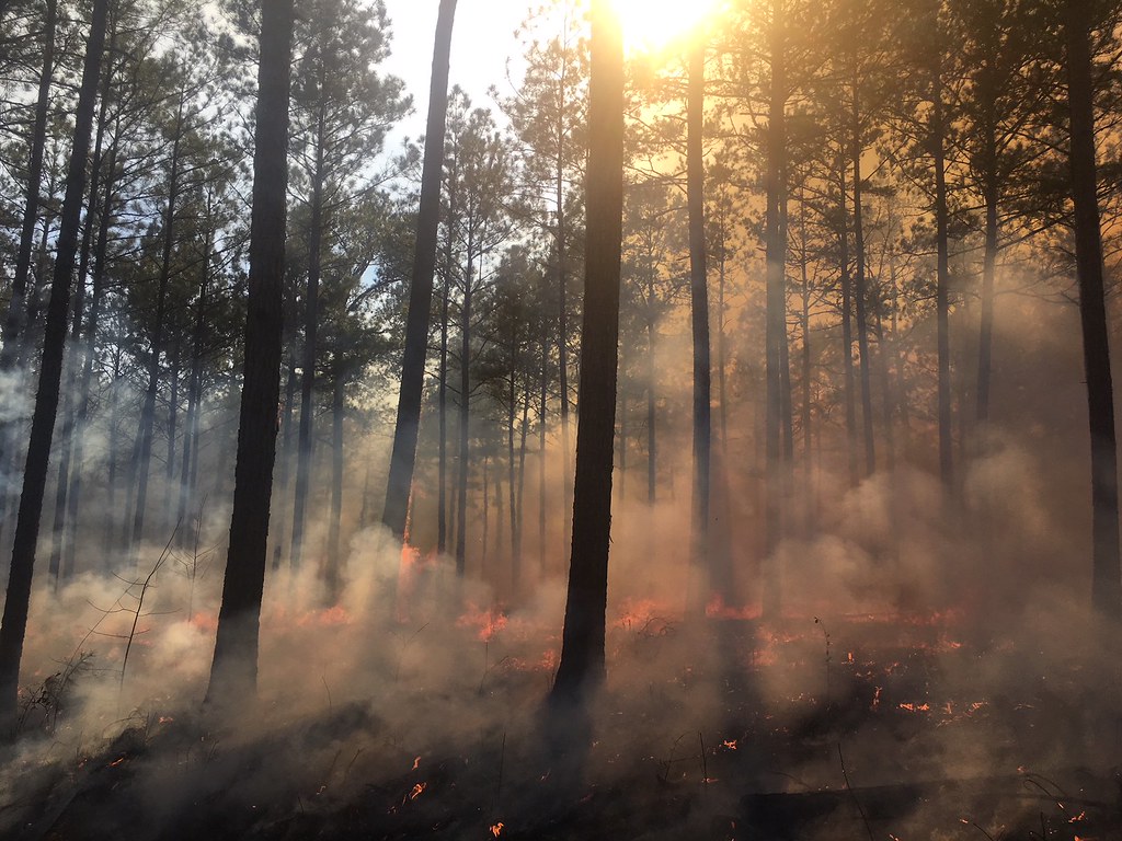 Photo: ChattOconeeNF, Public Domain Mark (via Flickr)
Hitchiti Loop Trail
~40 min drive
1.72-mile out-and-back hike in Georgia with 119 ft gain.
 Photo: Paul.J.Hurtado, CC BY-SA 2.0 (via Flickr)
Creek Trail
~49 min drive
1.56-mile out-and-back trail in Georgia with 380 ft elevation gain and loss.
Photo: Paul.J.Hurtado, CC BY-SA 2.0 (via Flickr)Red Cockaded Woodpecker Trail
~50 min drive
1.95-mile loop in Georgia with 258 ft gain and 199 ft loss.
Photo: Paul.J.Hurtado, CC BY-SA 2.0 (via Flickr)Pine Trail
~50 min drive
1.42-mile out-and-back hike in Georgia with 217 ft elevation gain.

Map and trail data © OpenStreetMap contributors
