private trail
- 0.4 mi
- round trip
- 133 ft
- climb
- 986 ft
- high point
- Out and back
- route
- Feb–May, Sep–Dec
- best months
This short, easy hike covers less than a mile and rises about 70 feet from the trailhead, making it a quick outing for anyone passing through the area. The route is an out-and-back, with the high point at 986 feet and the low at 951 feet, and the steepest stretch comes about a quarter of the way in at a 3% grade. The trail starts at roughly 959 feet, and the total round-trip gain is about 133 feet. The nearest town is Windsor, about 1.3 miles away. October is a comfortable time to go, with typical highs around 74°F and lows near 51°F, based on averages from a nearby weather station in Winder. Spring is similar, with April highs around 74°F. The Apalachee River, about 4.8 miles away, and the Alcovy River, about 7.9 miles away, offer canoeing. For more walking, the Winder Connecting Trail and Rabbit Hill Walking Path are both about 8.7 miles away.
- Apalachee RiverCanoeing4.8 mi
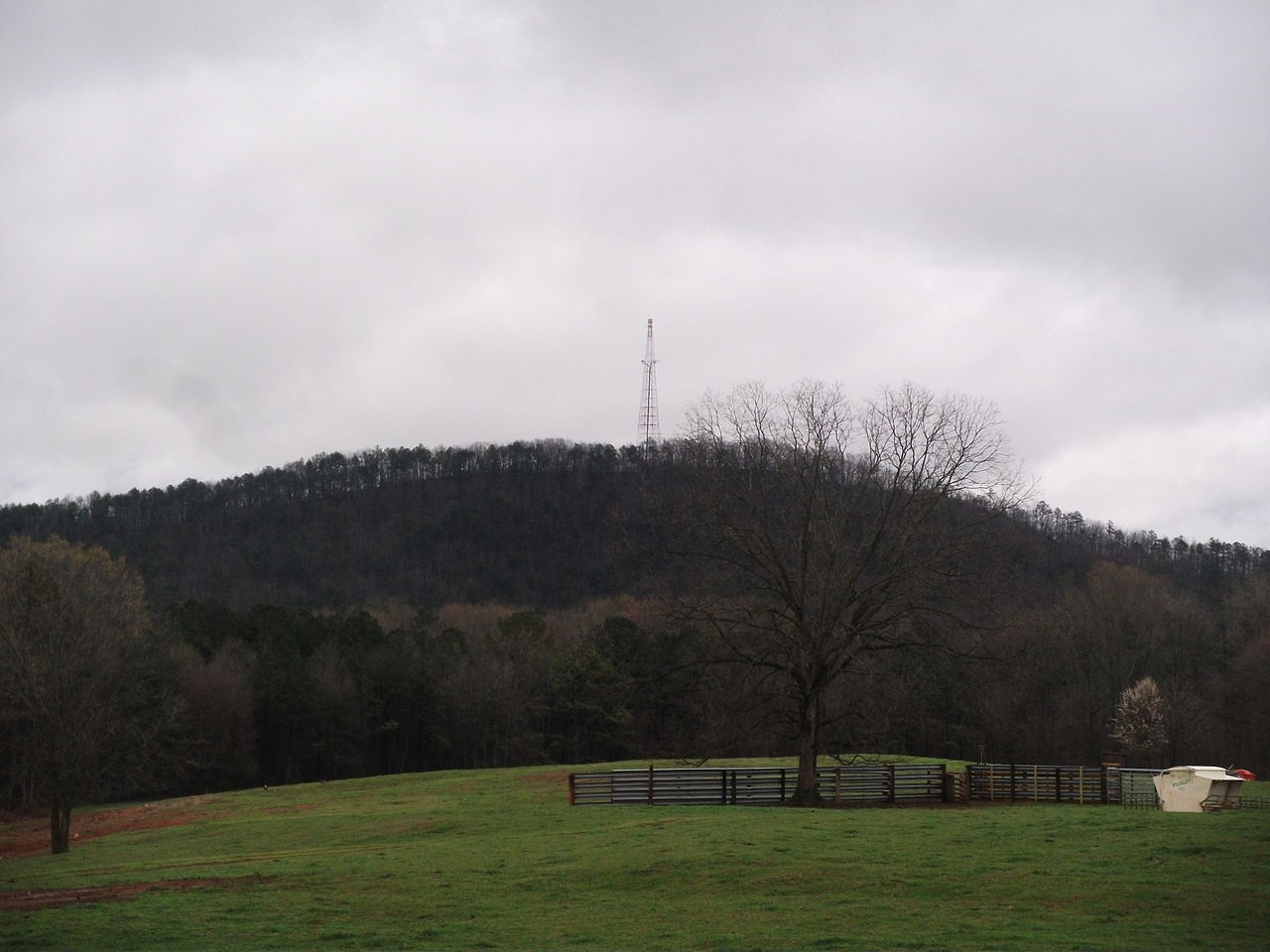
 Alcovy RiverCanoeingPhoto: Tim Kiser, CC BY-SA 4.0 (via Wikimedia Commons)7.9 mi
- Winder Connecting TrailHiking8.7 mi
- Rabbit Hill Walking PathHiking8.7 mi
Source: Roamze catalog (indexable pages within 10 miles, PostGIS distance)
 Inner LoopHiking · ~12 min drivePhoto: TranceMist, CC BY 2.0 (via Flickr)
 East Mulberry Equestrian LoopHiking · ~18 min drivePhoto: Hans J E, CC BY-SA 2.0 (via Flickr)
- Inner LoopHiking · ~13 min drivePhoto: TranceMist, CC BY 2.0 (via Flickr)
- Cherokee TrailHiking · ~32 min drive
- Inner LoopHiking · ~13 min drivePhoto: TranceMist, CC BY 2.0 (via Flickr)
- Cherokee TrailHiking · ~33 min drive
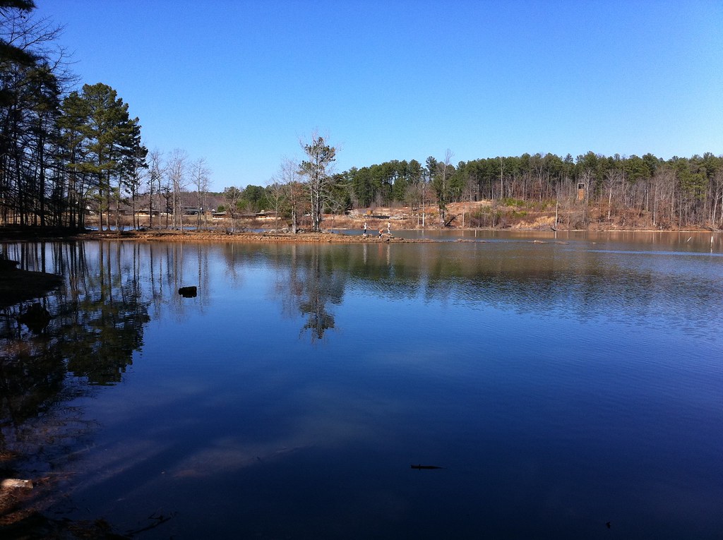 Inner LoopHiking · ~14 min drivePhoto: TranceMist, CC BY 2.0 (via Flickr)
- Cherokee TrailHiking · ~34 min drive
- Ravine Loop TrailHiking · ~18 min drivePhoto: Hans J E, CC BY-SA 2.0 (via Flickr)
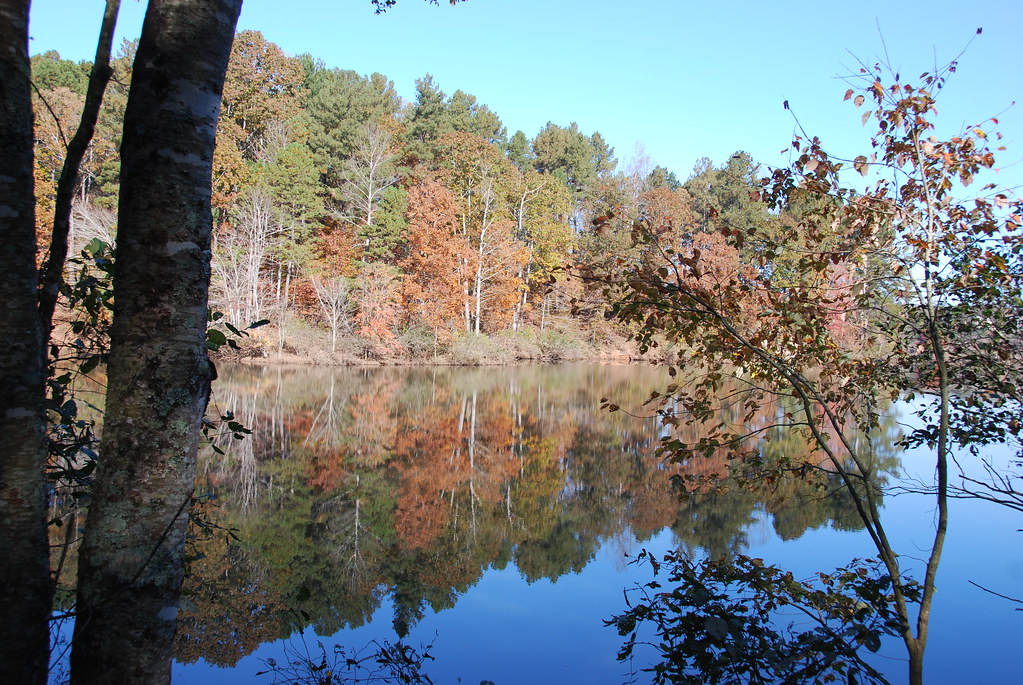 East Mulberry Equestrian LoopHiking · ~19 min drivePhoto: Hans J E, CC BY-SA 2.0 (via Flickr)
Best time to visit private trail
Best months: February–May and September–December. Best months have typical highs of 55–85 °F, lows of 30 °F or warmer (32 °F where the station doesn't record snow), at most one snowy day and no more than 12 wet days.
Jan
54° / 32°
8 wet
Feb
58° / 35°
8 wet
Mar
66° / 40°
8 wet
Apr
74° / 47°
7 wet
May
81° / 56°
8 wet
Jun
87° / 64°
9 wet
Jul
89° / 68°
9 wet
Aug
89° / 67°
8 wet
Sep
83° / 62°
6 wet
Oct
74° / 51°
5 wet
Nov
64° / 41°
6 wet
Dec
55° / 35°
7 wet
Typical high / low (°F) and days with rain or snow, 1991–2020. Measured at Winder 4s, GA, 6.4 mi away at 889 ft. Source: NOAA NCEI U.S. Climate Normals 1991–2020.
Map and trail data © OpenStreetMap contributors
