Pinhoti Horse Alternative
- 1.5 mi
- loop
- 122 ft
- climb
- 1,065 ft
- high point
- Loop
- route
- Feb–May, Sep–Nov
- best months
Is Pinhoti Horse Alternative open right now?
Closure in the area
There's a closure order in Chattahoochee-Oconee National Forests. It doesn't name Pinhoti Horse Alternative, so check the source for the area it covers (4 listed).
Road Maintenance: West Cowpen Road (FSR 17)
Agency closure covering Chattahoochee-Oconee National Forests · USFS · Chattahoochee-Oconee National Forests
Prescribed fire on Oconee Ranger District at Jasper County
Agency closure covering Chattahoochee-Oconee National Forests · USFS · Chattahoochee-Oconee National Forests
Muskrat Road, FS 218, Temporarily Closed
Agency closure covering Chattahoochee-Oconee National Forests · USFS · Chattahoochee-Oconee National Forests
Flash Flood Awareness
Agency closure covering Chattahoochee-Oconee National Forests · USFS · Chattahoochee-Oconee National Forests
Lake Winfield Scott closed except fishing pier
Agency alert covering Chattahoochee-Oconee National Forests · USFS · Chattahoochee-Oconee National Forests
As of · Source: USFS · Chattahoochee-Oconee National Forests. Agencies don't list every closure — check before you go.
Pinhoti Horse Alternative is a 1.5-mile loop hike in the Conasauga Ranger District of the Chattahoochee-Oconee National Forests in Georgia, managed by the Forest Service. It's an easy trail with a low elevation gain of about 120 feet, so it works well as a short outing or a warm-up before exploring more of the surrounding area. The loop climbs from a low of about 950 feet to a high of roughly 1,065 feet, and the steepest part comes at about 0.5 miles in, with a grade of about 13%. The trail is compact, and the total distance makes it easy to fit into a half day. Spring and fall are the most comfortable times to go. Typical averages from a nearby weather station show October highs around 73°F with lows near 51°F, and April is similar at about 73°F by day and 49°F at night. Summer runs hotter, with July and August highs typically near 89°F. For a longer outing, the Rock Garden Trail and Blackwell Gap Trail are both about 0.6 miles away, and the Trammel Loop is about 0.7 miles off. Paddlers can reach East Chickamauga Creek, about 2.3 miles away.
Best time to go · Feb–May, Sep–Nov
Best time to visit Pinhoti Horse Alternative
Best months: February–May and September–November. Best months have typical highs of 55–85 °F, lows of 30 °F or warmer (32 °F where the station doesn't record snow), at most one snowy day and no more than 12 wet days.
Jan
51° / 33°
11 wet · 1 snow
Feb
55° / 36°
11 wet
Mar
64° / 42°
11 wet
Apr
73° / 49°
10 wet
May
80° / 58°
11 wet
Jun
86° / 66°
12 wet
Jul
89° / 70°
12 wet
Aug
89° / 69°
10 wet
Sep
84° / 63°
8 wet
Oct
73° / 51°
9 wet
Nov
62° / 41°
9 wet
Dec
53° / 36°
11 wet
Typical high / low (°F) and days with rain or snow, 1991–2020. Measured at Chickamauga 2 Sw, GA, 12.3 mi away at 799 ft. Source: NOAA NCEI U.S. Climate Normals 1991–2020.
Closures we've recorded since August 2026
Spring 2026 Forest-wide Fire Restrictions
Chattahoochee-Oconee National Forests · Order dated April 23, 2026; seen Aug 23, 2026 → lifted Oct 13, 2026 · Forest Service
Keep exploring — more trails worth the drive
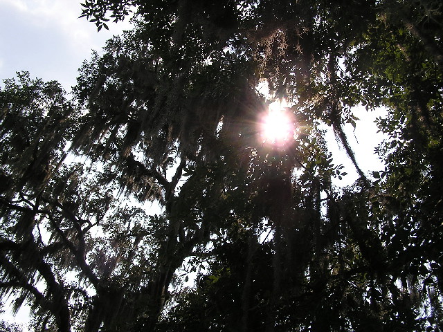 Photo: DDFic, CC BY 2.0 (via Flickr)
Creek Walk
~16 min drive
1.02-mile out-and-back trail following a creek in Georgia.
HIKE
Blackwell Gap Trail
~1 min drive
4.80-mile loop in Georgia with 1,573 ft elevation gain and loss.
HIKE
MOLLY HOUSTON TRAIL
~2 min drive
12.9-mile out-and-back trail in Georgia with 2,075 ft elevation gain
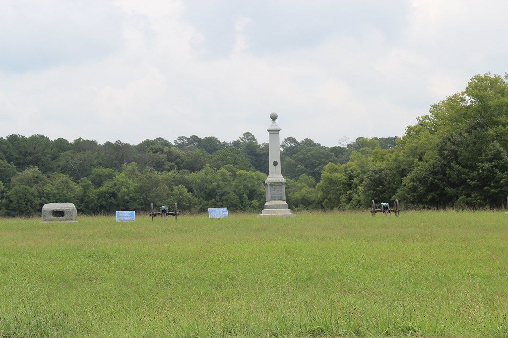 Photo: Gary Lee Todd, Ph.D., Public Domain Dedication (CC0) (via Flickr)
Trail Yellow 3C
~19 min drive
3.31-mile out-and-back trail in Georgia with 174 ft gain
HIKE
Taylor Ridge Trail
~16 min drive
2.71-mile out-and-back trail in Georgia with 524 ft elevation gain
HIKE
Dry Creek Trail
~21 min drive
6.0 mi · Hard
 Photo: Gary Lee Todd, Ph.D., Public Domain Dedication (CC0) (via Flickr)
Trail Yellow 3D
~20 min drive
1.08-mile out-and-back trail in Georgia with 11 ft of elevation gain.
HIKE
Pinhoti Horse Alternative
~19 min drive
2.82-mile out-and-back trail in Georgia with 449 ft gain
HIKE
Chickamauga Creek
~6 min drive
A strenuous 6.20-mile loop in Alabama that connects with the Upper and Lower Loop Trails for varied hiking options.
Photo: Gary Lee Todd, Ph.D., Public Domain Dedication (CC0) (via Flickr)Trail Blue 3
~21 min drive
2.22-mile out-and-back hike in Georgia with 34 ft of elevation gain.
Map and trail data © OpenStreetMap contributors
