Panic
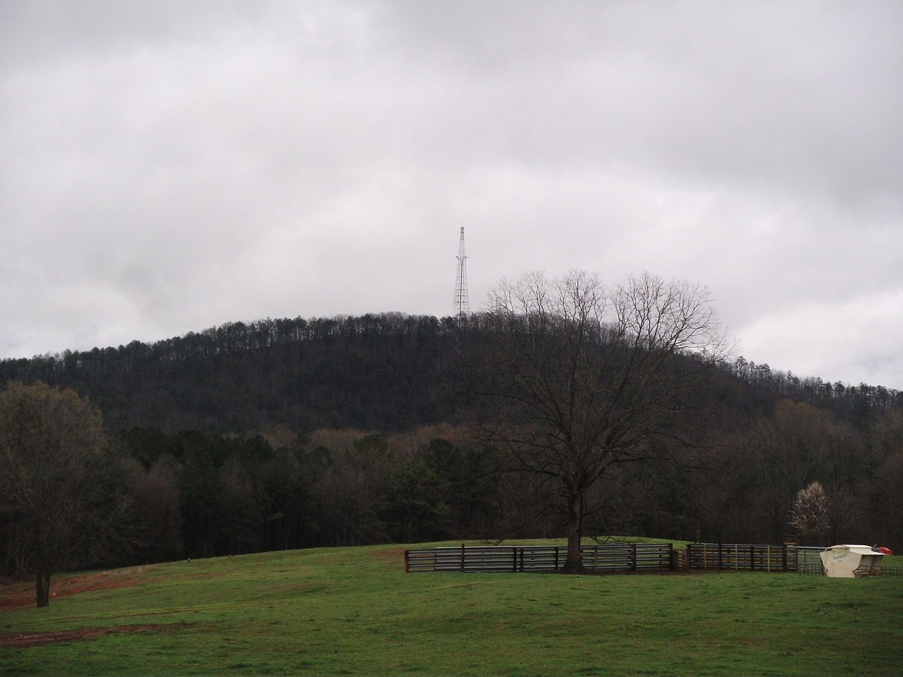
 Photo: TexasExplorer98, CC BY 2.0 (via Flickr)
- 0.3 mi
- round trip
- 128 ft
- climb
- 724 ft
- high point
- Out and back
- route
- Sep–May
- best months
Panic is a short, easy hike in Trail Creek Park, a city-managed park in Athens, Georgia. The route is about 0.6 miles long and is an out-and-back, with the high point at 724 feet and the low at 639 feet. The climb is gentle, with a total gain of 128 feet, and the steepest stretch comes early, around 0.13 miles in, at about 6%. Spring and fall are the most comfortable times to go. Typical averages from a nearby weather station in Athens show October highs around 75°F with lows near 52°F, and April is similar at about 75°F by day and 50°F at night. July is the hottest month, with highs near 92°F. The Green Trail is about 0.3 miles away. Claypit Pond Trail and Kingfisher Pond Trail are each about 1.9 miles off, and the UGA East Campus climbing area is about 2.2 miles away.
Best time to go · Sep–May
Best time to visit Panic
Best months: September–May. Best months have typical highs of 55–85 °F, lows of 30 °F or warmer (32 °F where the station doesn't record snow), at most one snowy day and no more than 12 wet days.
Jan
55° / 34°
11 wet
Feb
59° / 37°
10 wet
Mar
67° / 43°
10 wet
Apr
75° / 50°
9 wet
May
82° / 59°
9 wet
Jun
89° / 67°
11 wet
Jul
92° / 70°
11 wet
Aug
90° / 69°
9 wet
Sep
85° / 63°
7 wet
Oct
75° / 52°
7 wet
Nov
65° / 42°
8 wet
Dec
57° / 36°
10 wet
Typical high / low (°F) and days with rain or snow, 1991–2020. Measured at Athens Ben Epps Ap, GA, 2.1 mi away at 785 ft. This station doesn't record snowfall. Source: NOAA NCEI U.S. Climate Normals 1991–2020.
Keep exploring — more trails worth the drive
 Photo: treegrow, CC BY 2.0 (via Flickr)
White Trail
~8 min drive
0.92-mile out-and-back trail in Georgia with 160 ft elevation gain.
HIKE
Cook's Trail
~7 min drive
6.4-mile out-and-back trail in Georgia with 867 ft elevation gain.
HIKE
Lakeside Trail
~10 min drive
10.48-mile out-and-back trail in Georgia with 2,426 ft elevation gain/loss.
Photo: treegrow, CC BY 2.0 (via Flickr)White Trail
~8 min drive
1.18-mile out-and-back hike in Georgia with 381 ft elevation gain
HIKE
Falling Creek Trail
~26 min drive
4.94-mile loop in Georgia with 544 ft elevation gain/loss.
Photo: treegrow, CC BY 2.0 (via Flickr)White Trail
~8 min drive
2.94-mile out-and-back trail in Georgia with 667 ft elevation gain
 Photo: Katja Schulz from Washington, D. C., USA, CC BY 2.0 (via Wikimedia Commons)
Orange Trail
~9 min drive
0.72-mile out-and-back hike in Georgia with 177 ft of elevation gain.
 Photo: Wmw1490, CC BY-SA 4.0 (via Wikimedia Commons)
High Shoals Park Loop
~22 min drive
Easy 0.30-mile loop through High Shoals Park in Georgia.
 Photo: TranceMist, CC BY 2.0 (via Flickr)
Inner Loop
~36 min drive
0.82-mile out-and-back trail in Georgia with 251 ft elevation gain.
Photo: TranceMist, CC BY 2.0 (via Flickr)Inner Loop
~37 min drive
2.02-mile out-and-back trail in Georgia with 871 ft elevation gain
Map and trail data © OpenStreetMap contributors
