Hilltop Trail
- 1.2 mi
- round trip
- 471 ft
- climb
- 1,410 ft
- high point
- Out and back
- route
- Feb–Jun, Sep–Nov
- best months
Hilltop Trail is an easy out-and-back hike on county land in Georgia, about 1.2 miles long with a total elevation gain of 101 feet. The trail runs on land within the Greenspace Program Acquisition, and the land is managed by county authorities. The route starts at a low point of about 1,315 feet and climbs to a high of about 1,410 feet. The steepest stretch comes at about 0.48 miles in, with a grade of 10 percent. The whole trip is roughly 2.4 miles round trip. Spring and fall are the most comfortable times to go. Typical averages from a nearby weather station in Cumming show October highs around 73°F with lows near 49°F, and April highs around 72°F. That station sits a few hundred feet lower than the trail, so temperatures on the higher ground run a little cooler. Ridgeline Trail is about 0.3 miles away and Mountainside Trail about 0.5 miles. Indian Seats Trail is about 0.8 miles off. For an overnight stay, Bald Ridge Creek campground is about 4.3 miles away.
Best time to go · Feb–Jun, Sep–Nov
Best time to visit Hilltop Trail
Best months: February–June and September–November. Best months have typical highs of 55–85 °F, lows of 30 °F or warmer (32 °F where the station doesn't record snow), at most one snowy day and no more than 12 wet days.
Jan
51° / 31°
11 wet
Feb
56° / 33°
11 wet
Mar
63° / 40°
11 wet
Apr
72° / 46°
10 wet
May
79° / 56°
10 wet
Jun
85° / 64°
11 wet
Jul
89° / 67°
11 wet
Aug
88° / 67°
10 wet
Sep
82° / 60°
8 wet
Oct
73° / 49°
8 wet
Nov
63° / 39°
8 wet
Dec
54° / 34°
11 wet
Typical high / low (°F) and days with rain or snow, 1991–2020. Measured at Cumming 2n, GA, 1.6 mi away at 1,140 ft. Source: NOAA NCEI U.S. Climate Normals 1991–2020.
Keep exploring — more trails worth the drive
 Photo: Pavel Kuritsyn, CC BY 3.0 (via Wikimedia Commons)
Bowmans Island West - Trail System
~13 min drive
2.23-mile out-and-back trail in Georgia with 120 ft elevation gain.
 Photo: jeffgunn, CC BY 2.0 (via Flickr)
Abandoned Track
~21 min drive
Short point-to-point walk along a historic abandoned track in Georgia.
Photo: jeffgunn, CC BY 2.0 (via Flickr)Amicalola Interpretive Loop
~22 min drive
Easy 1.09-mile out-and-back interpretive trail in Georgia.
HIKE
Mountainside Trail
Next door
3.04-mile out-and-back trail in Georgia with 1,063 ft gain.
Photo: jeffgunn, CC BY 2.0 (via Flickr)Amicalola Interpretive Loop
~22 min drive
1.14-mile out-and-back trail in Georgia with 431 ft gain.
HIKE
Indian Seats Trail
~1 min drive
3.30-mile loop trail in Georgia with 1,153 ft elevation gain and loss.
 Photo: Chanilim714, CC BY-SA 3.0 (via Wikimedia Commons)
Park Brooke Trail
~24 min drive
3.82-mile out-and-back trail in Georgia with 556 ft elevation gain.
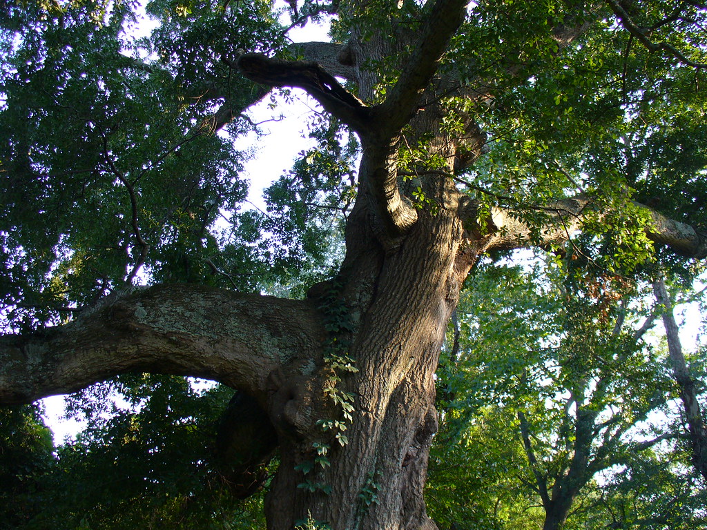 Photo: Texano Nativo, CC BY 2.0 (via Flickr)
Abbotts Bridge - Trail System
~26 min drive
0.40-mile out-and-back trail in Georgia managed by the NPS.
 Photo: jeffgunn, CC BY 2.0 (via Flickr)
Silver Star Nature Trail
~22 min drive
2.18-mile out-and-back hike in Georgia with 457 ft elevation gain
 Photo: Chanilim714, CC BY-SA 3.0 (via Wikimedia Commons)
Chattahoochee Nature Trail
~23 min drive
1.04-mile out-and-back trail in Georgia with 135 ft elevation gain

Map and trail data © OpenStreetMap contributors
