Geiger Trail
- 0.4 mi
- round trip
- 218 ft
- climb
- 1,210 ft
- high point
- Out and back
- route
- Feb–Jun, Sep–Nov
- best months
Geiger Trail is a short, easy out-and-back hike in Georgia's Chicopee Woods, a protected area managed by a non-governmental organization. The trail is about 0.4 miles long, with a total elevation gain of 218 feet, and it takes roughly half an hour to complete. The route is steady, with the steepest stretch at about 0.3 miles in, where the grade reaches 4%. The high point is 1,210 feet, and the trail starts at 1,183 feet. Because the climb is low and the distance is short, the hike works well as a quick stop or a warm-up before exploring more of the surrounding trails. Spring and fall are the most comfortable times to go. Typical averages from a nearby weather station show October highs around 72°F with lows near 52°F, and April is similar at about 72°F by day and 50°F at night. Summer runs hotter, with July highs near 88°F. Several other trails sit close by. Dodd Loop is about 0.1 mile away, Ridge Trail is about 0.3 mile away, and Upland Trail is about 0.6 mile away. For a change of pace, Lake Lanier is about 7 miles off.
- Dodd LoopHiking0.1 mi
- Ridge TrailHiking0.3 mi
- Upland TrailHiking0.6 mi
- Walnut CreekCanoeing6.6 mi
- Lake LanierLake fishing6.9 mi
- Old FederalCamping6.9 mi
 Duckett MillCampingPhoto: Recreation.gov (RIDB) / public domain7.1 mi
- Cherokee BluffRock climbing8.8 mi
Source: Roamze catalog (indexable pages within 10 miles, PostGIS distance)
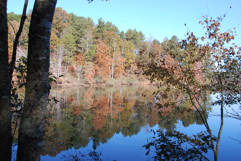 East Mulberry Equestrian LoopHiking · ~24 min drivePhoto: Hans J E, CC BY-SA 2.0 (via Flickr)
 East Mulberry Equestrian LoopHiking · ~24 min drivePhoto: Hans J E, CC BY-SA 2.0 (via Flickr)
- Ravine Loop TrailHiking · ~25 min drivePhoto: Hans J E, CC BY-SA 2.0 (via Flickr)
- Indian Seats TrailHiking · ~30 min drive
 Bowmans Island West - Trail SystemHiking · ~28 min drivePhoto: Pavel Kuritsyn, CC BY 3.0 (via Wikimedia Commons)
- Mountainside TrailHiking · ~32 min drive
 Inner LoopHiking · ~33 min drivePhoto: TranceMist, CC BY 2.0 (via Flickr)
 Inner LoopHiking · ~35 min drivePhoto: TranceMist, CC BY 2.0 (via Flickr)
- Inner LoopHiking · ~35 min drivePhoto: TranceMist, CC BY 2.0 (via Flickr)
- Inner LoopHiking · ~35 min drivePhoto: TranceMist, CC BY 2.0 (via Flickr)
Best time to visit Geiger Trail
Best months: February–June and September–November. Best months have typical highs of 55–85 °F, lows of 30 °F or warmer (32 °F where the station doesn't record snow), at most one snowy day and no more than 12 wet days.
Jan
51° / 34°
12 wet
Feb
55° / 36°
11 wet
Mar
63° / 43°
11 wet
Apr
72° / 50°
10 wet
May
79° / 58°
11 wet
Jun
85° / 66°
12 wet
Jul
88° / 69°
12 wet
Aug
87° / 69°
11 wet
Sep
81° / 63°
8 wet
Oct
72° / 52°
9 wet
Nov
61° / 42°
9 wet
Dec
53° / 36°
12 wet
Typical high / low (°F) and days with rain or snow, 1991–2020. Measured at Gainesville Gilmer Ap, GA, 1.8 mi away at 1,275 ft. This station doesn't record snowfall. Source: NOAA NCEI U.S. Climate Normals 1991–2020.
Map and trail data © OpenStreetMap contributors
