Evans Library Walking Path
- 0.4 mi
- loop
- 67 ft
- climb
- 377 ft
- high point
- Loop
- route
- Oct–May
- best months
Clear today
Weather is good · OpenWeather · checked 7 h ago
Evans Library Walking Path is a short, easy loop of about 0.36 miles, with a total elevation gain of 67 feet. The route starts at roughly 370 feet and reaches a high point of 377 feet before returning to nearly the same level. The steepest stretch comes at about 0.19 miles in, with a grade of about 3 percent. The path is close to Chimney Hill, Georgia, about half a mile away. Spring and fall are the most comfortable times to go. Typical averages from a nearby weather station in Augusta show October highs around 78°F with lows near 58°F, and April is similar at about 78°F by day and 56°F at night. Midsummer highs there average in the low 90s. The walk takes about half an hour. Evans Towne Center Park Walking Path is just 0.3 miles away, and Highgrove Nature Trail is about 2.5 miles off. Paddlers can head to Uchee Creek, about 6.5 miles away, and climbers to Savannah River Mini Quarry, about 9 miles away.
- Evans Towne Center Park Walking PathHiking0.3 mi
- Highgrove Nature TrailHiking2.5 mi
- Blanchard Park Walking TrailHiking3.3 mi
- Uchee CreekCanoeing6.5 mi
- West DamCamping8.7 mi
 Below Dam South CarolinaCampingPhoto: Recreation.gov (RIDB) / public domain8.8 mi
- Savannah River Mini QuarryRock climbing9 mi
- Clarks HillCamping9.2 mi
Source: Roamze catalog (indexable pages within 10 miles, PostGIS distance)
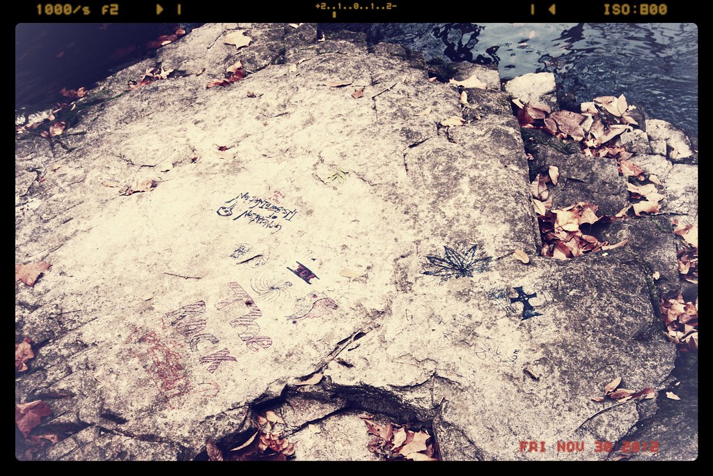 Canal Pump House TrailHiking · ~14 min drivePhoto: Sir Mildred Pierce, CC BY 2.0 (via Flickr)
- Forks TrailHiking · ~9 min drive
- Augusta Canal TrailHiking · ~10 min drive
- Evans Towne Center Park Walking PathHiking · Next door
- Bartram TrailHiking · ~21 min drive
- River Levee TrailHiking · ~28 min drive
- Highgrove Nature TrailHiking · ~4 min drive
- ModocHiking · ~22 min drive
- Main TrailHiking · ~35 min drive
- Blanchard Park Walking TrailHiking · ~6 min drive
Best time to visit Evans Library Walking Path
Best months: October–May. Best months have typical highs of 55–85 °F, lows of 30 °F or warmer (32 °F where the station doesn't record snow), at most one snowy day and no more than 12 wet days.
Jan
58° / 40°
10 wet
Feb
62° / 43°
9 wet
Mar
69° / 49°
9 wet
Apr
78° / 56°
8 wet
May
85° / 64°
9 wet
Jun
91° / 71°
11 wet
Jul
93° / 74°
11 wet
Aug
92° / 73°
11 wet
Sep
87° / 69°
8 wet
Oct
78° / 58°
7 wet
Nov
68° / 48°
7 wet
Dec
60° / 42°
9 wet
Typical high / low (°F) and days with rain or snow, 1991–2020. Measured at Augusta Daniel Fld Ap, GA, 7.8 mi away at 423 ft. This station doesn't record snowfall. Source: NOAA NCEI U.S. Climate Normals 1991–2020.
Map and trail data © OpenStreetMap contributors
