Creekside Trail
- 0.4 mi
- round trip
- 163 ft
- climb
- 1,151 ft
- high point
- Out and back
- route
- Feb–Jun, Sep–Nov
- best months
Creekside Trail is a short, easy hike on county land within the Gwinnett Environmental & Heritage Center in Georgia. The route is about 0.7 miles long, with a total elevation gain of 163 feet, and it makes a simple out-and-back from the low point at 1,067 feet to the high point at 1,151 feet. The climb is front-loaded, with the steepest stretch at about 0.2 miles in, and the trail is rated easy. Spring and fall are the most comfortable times to go. Typical averages from a nearby weather station in Cumming show October highs around 73°F with lows near 49°F, and April is similar at about 72°F by day and 46°F at night. Summer highs typically reach the upper 80s. Several other trails start close by. Cherokee Trail is about 0.1 mile away, Stream Ecology Trail 0.8 Mile - Moderate is about 0.2 mile away, and Wildlife Observation Trail is about 0.4 mile away. For an overnight stay, Lanier Park Shelter is about 6.9 miles away.
- Cherokee TrailHiking0.1 mi
- Stream Ecology Trail 0.8 Mile - ModerateHiking0.2 mi
- Wildlife Observation TrailHiking0.4 mi
 Lanier Park Shelter (ga)CampingPhoto: Recreation.gov (RIDB) / public domain6.9 mi
- Buford Dam Park Shelters (ga)Camping6.9 mi
- Noon WallRock climbing7.2 mi
- Buford Dam BouldersRock climbing7.3 mi
 Yellow RiverCanoeingPhoto: Thomson200, CC0 (via Wikimedia Commons)8.8 mi
Source: Roamze catalog (indexable pages within 10 miles, PostGIS distance)
 Ravine Loop TrailHiking · ~12 min drivePhoto: Hans J E, CC BY-SA 2.0 (via Flickr)
- East Mulberry Equestrian LoopHiking · ~13 min drivePhoto: Hans J E, CC BY-SA 2.0 (via Flickr)
 Bowmans Island West - Trail SystemHiking · ~12 min drivePhoto: Pavel Kuritsyn, CC BY 3.0 (via Wikimedia Commons)
- Indian Seats TrailHiking · ~25 min drive
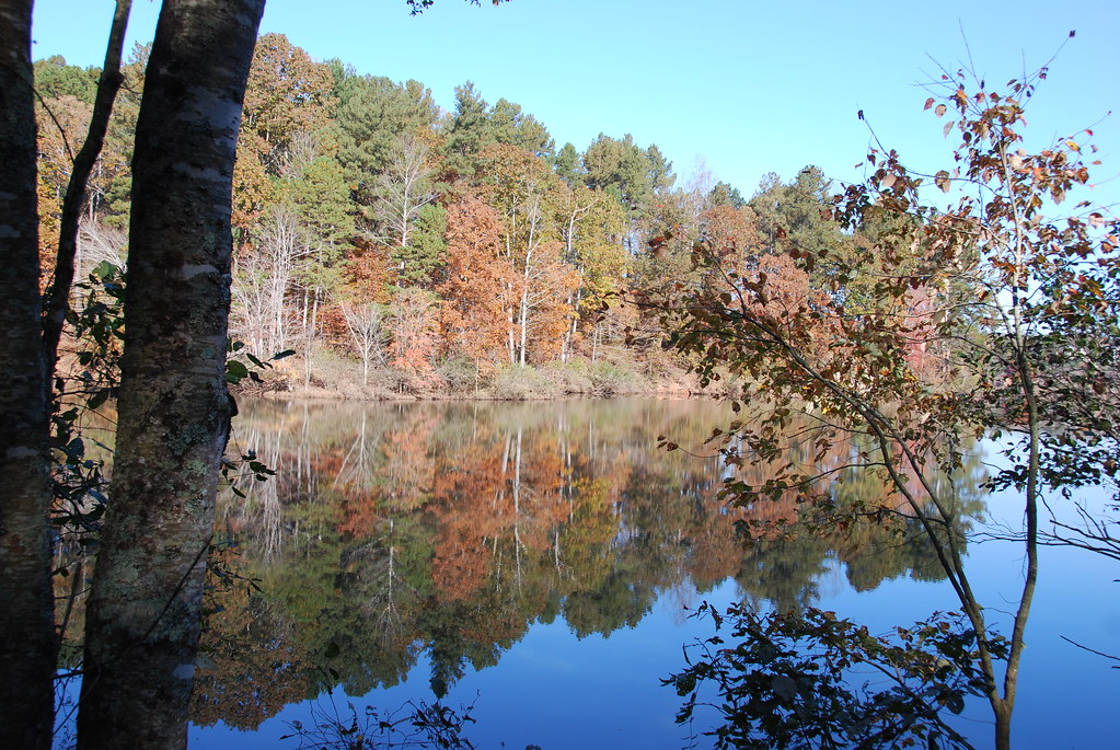 East Mulberry Equestrian LoopHiking · ~12 min drivePhoto: Hans J E, CC BY-SA 2.0 (via Flickr)
- Mountainside TrailHiking · ~25 min drive
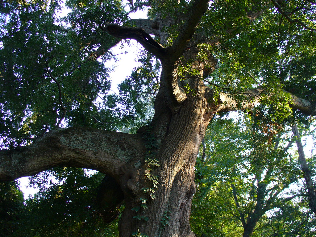 Abbotts Bridge - Trail SystemHiking · ~17 min drivePhoto: Texano Nativo, CC BY 2.0 (via Flickr)
- Jones Bridge - Trail SystemHiking · ~26 min drive
 Chattahoochee Nature TrailHiking · ~20 min drivePhoto: Chanilim714, CC BY-SA 3.0 (via Wikimedia Commons)
 Medlock Bridge - Trail SystemHiking · ~22 min drivePhoto: 走遍美国, CC BY 3.0 (via Wikimedia Commons)
Best time to visit Creekside Trail
Best months: February–June and September–November. Best months have typical highs of 55–85 °F, lows of 30 °F or warmer (32 °F where the station doesn't record snow), at most one snowy day and no more than 12 wet days.
Jan
51° / 31°
11 wet
Feb
56° / 33°
11 wet
Mar
63° / 40°
11 wet
Apr
72° / 46°
10 wet
May
79° / 56°
10 wet
Jun
85° / 64°
11 wet
Jul
89° / 67°
11 wet
Aug
88° / 67°
10 wet
Sep
82° / 60°
8 wet
Oct
73° / 49°
8 wet
Nov
63° / 39°
8 wet
Dec
54° / 34°
11 wet
Typical high / low (°F) and days with rain or snow, 1991–2020. Measured at Cumming 2n, GA, 13.4 mi away at 1,140 ft. Source: NOAA NCEI U.S. Climate Normals 1991–2020.
Map and trail data © OpenStreetMap contributors
