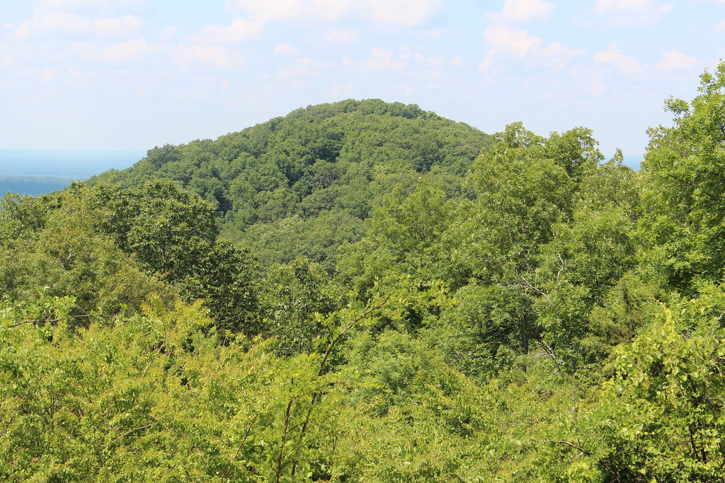
Booger Trail
 Photo: JofaceM, CC BY-SA 3.0 (via Wikimedia Commons)
- 2.3 mi
- loop
- 201 ft
- climb
- 1,183 ft
- high point
- Loop
- route
- Feb–May, Sep–Dec
- best months
Booger Trail is a short, easy hike in Georgia, about 0.4 miles from the community of Tabor Estates. The route is roughly 2.3 miles long, with a total elevation gain of about 200 feet, and it is rated easy. The trail starts at about 1,129 feet and reaches a high point of about 1,183 feet. The steepest stretch comes early, around the 0.2-mile mark, with a grade of about 4 percent. The climb is gentle overall, and the trail returns to nearly the same elevation by the end. Spring and fall are the most comfortable times to go. Typical averages from a nearby weather station show October highs around 74°F with lows near 50°F, and April is similar at about 74°F by day and 48°F at night. Summer runs hotter, with July highs near 90°F. The hike takes about an hour. The Mount Tabor Park Walking Trail is just 0.3 miles away, and the Red Trail and Red, White, and Blue Trail are both within about 2.6 miles. For paddling, Pumpkinvine Creek is about 4.6 miles off.
- Mount Tabor Park Walking TrailHiking0.3 mi
- Red TrailHiking2.5 mi
- Red, White, and Blue TrailHiking2.6 mi
- Blue TrailHiking2.7 mi
- White TrailHiking2.7 mi
 Pumpkinvine CreekCanoeingPhoto: Thomson200, CC0 (via Wikimedia Commons)4.6 mi
- Mill CreekCanoeing4.9 mi
- Butler Creek BouldersRock climbing8.6 mi
Source: Roamze catalog (indexable pages within 10 miles, PostGIS distance)
 Turtle Back LoopHiking · ~10 min drivePhoto: jsnyng, CC BY 2.0 (via Flickr)
 Pigeon Hill TrailHiking · ~18 min drivePhoto: Thomson20192, Public Domain Dedication (CC0) (via Flickr)
- Mason's Bluff LoopHiking · ~10 min drivePhoto: jsnyng, CC BY 2.0 (via Flickr)
- Little Kennesaw TrailHiking · ~19 min drivePhoto: Thomson20192, Public Domain Dedication (CC0) (via Flickr)
- Rusty Bucket LoopHiking · ~11 min drivePhoto: jsnyng, CC BY 2.0 (via Flickr)
 Cease Fire TrailHiking · ~18 min drivePhoto: Ryan Stavely, CC BY-SA 2.0 (via Flickr)
- Pigeon Hill CutoffHiking · ~18 min drivePhoto: Thomson20192, Public Domain Dedication (CC0) (via Flickr)
 East TrailHiking · ~19 min drivePhoto: twslivxe26, CC BY-SA 2.0 (via Flickr)
 Kennesaw Mountain TrailHiking · ~20 min drivePhoto: twslivxe26, CC BY-SA 2.0 (via Flickr)
- Mount Tabor Park Walking TrailHiking · Next door
Best time to visit Booger Trail
Best months: February–May and September–December. Best months have typical highs of 55–85 °F, lows of 30 °F or warmer (32 °F where the station doesn't record snow), at most one snowy day and no more than 12 wet days.
Jan
52° / 31°
11 wet
Feb
57° / 34°
11 wet
Mar
65° / 40°
11 wet
Apr
74° / 48°
10 wet
May
81° / 57°
10 wet
Jun
87° / 65°
11 wet
Jul
90° / 68°
12 wet
Aug
89° / 68°
10 wet
Sep
84° / 61°
8 wet
Oct
74° / 50°
8 wet
Nov
64° / 39°
9 wet
Dec
55° / 34°
11 wet
Typical high / low (°F) and days with rain or snow, 1991–2020. Measured at Dallas 7 Ne, GA, 4 mi away at 1,028 ft. This station doesn't record snowfall. Source: NOAA NCEI U.S. Climate Normals 1991–2020.

Map and trail data © OpenStreetMap contributors
