Atlanta BeltLine Westside Interim Hiking Trail
- 0.5 mi
- round trip
- 46 ft
- climb
- 1,018 ft
- high point
- Out and back
- route
- Feb–May, Sep–Dec
- best months
The Atlanta BeltLine Westside Interim Hiking Trail is a short, easy walk of about 0.94 miles, with an elevation gain of about 28 feet and a total round-trip climb of about 46 feet. It is an out-and-back route that reaches a high point of about 1018 feet from a starting point near 1002 feet. The trail sits in Atlanta, about 0.3 miles from the West End neighborhood. It is part of the Westside Interim Hiking Trail, a stretch of the BeltLine corridor. Spring and fall are the most comfortable times to go. Typical averages from a nearby weather station show October highs around 74°F with lows near 55°F, while April runs similar with highs around 74°F and lows near 52°F. July is the warmest month, with highs around 90°F. The trip takes about half an hour. The Yorkville Boulders climbing area is about 3 miles away, and the Panola Area 1 and Panola Area 2 climbing areas are also about 3 miles off. For more hiking, Intermittent Creek is roughly 4.8 miles away.
- Yorkville BouldersRock climbing3 mi
- Panola Area 1Rock climbing3 mi
- Panola Area 2Rock climbing3 mi
- Intermittent CreekHiking4.8 mi
- Moontower LoopHiking5.2 mi
- Blue TrailHiking5.2 mi
- Mountain Bike/Hike TrailHiking6 mi
- Keeper of the Boat AreaRock climbing7.6 mi
Source: Roamze catalog (indexable pages within 10 miles, PostGIS distance)
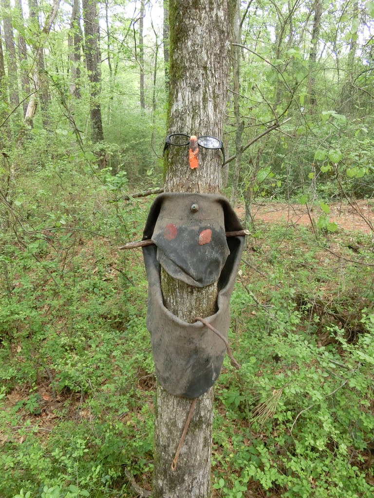 Green TrailHiking · ~12 min drivePhoto: Marcus O. Bst, CC BY 2.0 (via Flickr)
 White TrailHiking · ~19 min drivePhoto: jeffgunn, CC BY 2.0 (via Flickr)
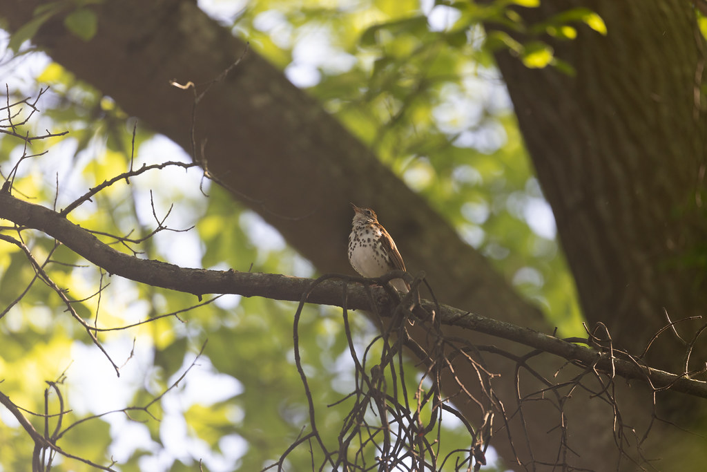 Eastside PathHiking · ~14 min drivePhoto: atlnature, CC BY 2.0 (via Flickr)
 Westside PathHiking · ~14 min drivePhoto: atlnature, CC BY 2.0 (via Flickr)
- Watershed LoopHiking · ~15 min drivePhoto: atlnature, CC BY 2.0 (via Flickr)
 Orange TrailHiking · ~19 min drivePhoto: Marcus O. Bst, CC BY-SA 2.0 (via Flickr)
 Blue TrailHiking · ~19 min drivePhoto: TranceMist, CC BY 2.0 (via Flickr)
- Sidewalks in Historic DistrictHiking · ~6 min drive
- Intermittent CreekHiking · ~8 min drive
- Moontower LoopHiking · ~9 min drive
Also worth it near here
Best time to visit Atlanta BeltLine Westside Interim Hiking Trail
Best months: February–May and September–December. Best months have typical highs of 55–85 °F, lows of 30 °F or warmer (32 °F where the station doesn't record snow), at most one snowy day and no more than 12 wet days.
Jan
54° / 36°
11 wet · 1 snow
Feb
58° / 39°
10 wet
Mar
66° / 45°
10 wet
Apr
74° / 52°
9 wet
May
81° / 61°
10 wet
Jun
87° / 69°
11 wet
Jul
90° / 72°
12 wet
Aug
89° / 71°
10 wet
Sep
84° / 66°
7 wet
Oct
74° / 55°
7 wet
Nov
64° / 44°
8 wet
Dec
56° / 38°
11 wet
Typical high / low (°F) and days with rain or snow, 1991–2020. Measured at Atlanta Hartsfield Intl Ap, GA, 7.4 mi away at 1,010 ft. Source: NOAA NCEI U.S. Climate Normals 1991–2020.
Map and trail data © OpenStreetMap contributors
