Mosquito Creek
- 4.1 mi
- distance
- 71 ft
- high point
- Oct–Apr
- best months
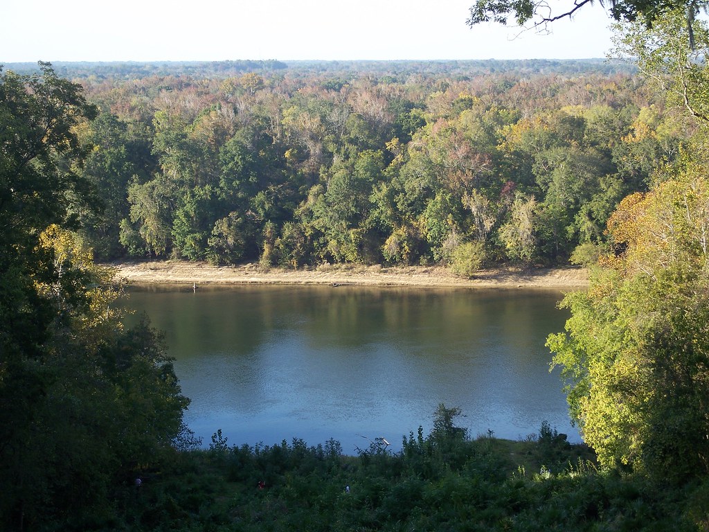
Mosquito Creek is a canoeing spot in Florida, about 4 miles from the town of River Junction, which sits just 0.3 miles away. It makes an easy pairing with the Apalachicola River, which lies about 2 miles off, and with Seminole Lodge, a campground roughly 4 miles away. Spring and fall are the most comfortable times to paddle. Typical averages from a nearby weather station show April highs around 80°F and October highs around 82°F, while July and August average in the low 90s. Nearby options include the Apalachicola River for fishing, Eastbank campground across the state line in Georgia, and Three Rivers State Park and Lake Seminole, both within about 7 miles.
- Apalachicola RiverRiver fishing2 mi
 EastbankCampingPhoto: Recreation.gov (RIDB) / public domain2.1 mi
- Seminole LodgeCamping4.3 mi
- Three Rivers State ParkCamping6 mi
- Lakeview TrailHiking6.5 mi
- Lake SeminoleRiver fishing6.9 mi
- Gopher Tortoise TrailHiking8.2 mi
 Torreya Challenge TrailHikingPhoto: ebyabe, CC BY-SA 2.0 (via Flickr)9.6 mi
Source: Roamze catalog (indexable pages within 10 miles, PostGIS distance)
 Chipola RiverCanoeing · ~42 min drivePhoto: Michael Rivera, CC BY-SA 4.0 (via Wikimedia Commons)
- Horseshoe Bend Boat RampBoat launch · ~27 min drive
- Telogia CreekCanoeing · ~29 min drive
- Hales LandingBoat launch · ~27 min drive
- The BayouCanoeing · ~30 min drive
- Neal's LandingBoat launch · ~38 min drive
- Big CreekCanoeing · ~35 min drive
- Mack Landing Boat RampBoat launch · ~1h 13m drive
- Little RiverCanoeing · ~38 min drive
- Boat ramp/pierBoat launch · ~1h 17m drive
Best time to visit Mosquito Creek
Best months: October–April. Best months have typical highs of 55–85 °F, lows of 30 °F or warmer (32 °F where the station doesn't record snow), at most one snowy day and no more than 12 wet days.
Jan
64° / 38°
Feb
67° / 41°
Mar
74° / 47°
Apr
80° / 52°
May
88° / 61°
Jun
91° / 68°
Jul
93° / 71°
Aug
92° / 70°
Sep
89° / 66°
Oct
82° / 56°
Nov
73° / 46°
Dec
66° / 40°
Typical high / low (°F) and days with rain or snow, 1991–2020. Measured at Bainbridge Intl Paper, GA, 16.5 mi away at 190 ft. This station doesn't record snowfall. Source: NOAA NCEI U.S. Climate Normals 1991–2020.
