Boy Scout Trail
Florida
Free — you'll pick up right here.
1.2 mi
Distance
0 ft
Gain
25 min
Time
We don't cover this trail yet
No agency boundary, access route or field report is mapped to it — so there is no verdict, and we won't guess. We'll tell you the moment this trail has something to say.
Covered nearby
Trails within 25 miles where we do have a current picture.
Nobody's filed a report here yet — be the first.
Why you'll love it
Here's your day, mapped
Boy Scout Trail
Suggested plan · check conditions before you go
Meals
Gear for the day
Elevation & route
- Distance
- 1.2 mi
- Elevation gain
- 0 ft
- Elevation loss
- 53 ft
- Highest point
- 11 ft
- Lowest point
- 1 ft
Photos
Directions & GPX
Permits & access
No permit or access details on file for this trail — check with the local land manager before you go.
About this trail
Boy Scout Trail is a short point-to-point hike covering 1.20 miles through Florida's natural landscape. This accessible trail offers a quick outdoor experience perfect for families and beginners looking to explore Florida's diverse ecosystems. The trail provides an excellent introduction to hiking in the state's unique terrain.
Add to a trip & share
Keep exploring — more trails worth the drive
 Photo: jesseasmith, CC BY-SA 3.0 (via Wikimedia Commons)
Upland Trail
~0 min drive
A short point-to-point upland trail in Florida.
 Photo: zoso8203, Public Domain Mark (via Flickr)
Skyway Trail
~18 min drive
6.66-mile out-and-back trail in Florida with 203 ft elevation gain/loss.
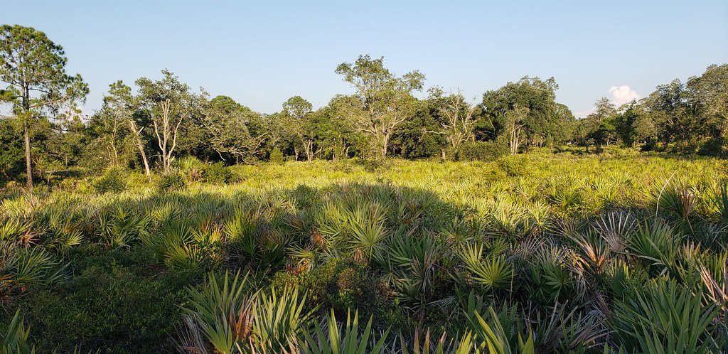 Photo: Always Ascetic, Public Domain Dedication (CC0) (via Flickr)
Little Manatee River State Park Trail
~33 min drive
21.29-mile out-and-back trail along the Little Manatee River in Florida.
Photo: jesseasmith, CC BY-SA 3.0 (via Wikimedia Commons)Lookout Point Trail
~1 min drive
0.37-mile point-to-point trail in Florida with 5 ft gain and 11 ft loss.
 Photo: Always Ascetic, Public Domain Dedication (CC0) (via Flickr)
Golden Aster Preserve
~26 min drive
6.27-mile out-and-back trail in Florida with 145 ft elevation gain.
 Photo: Roman Eugeniusz, CC BY-SA 3.0 (via Wikimedia Commons)
North Bay Trail
~8 min drive
Easy 0.46-mile out-and-back bay access trail in Florida.
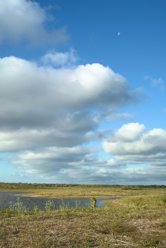 Photo: tehbieber, CC BY-SA 2.0 (via Flickr)
Eagle Loop
~41 min drive
3.82-mile out-and-back trail in Florida with 37 ft elevation gain.
Photo: Always Ascetic, Public Domain Dedication (CC0) (via Flickr)Golden Aster Scrub Preserve Trail
~25 min drive
1.15-mile out-and-back trail in Florida with 32 ft of elevation gain.
Fort De Soto Recreational Trail
~29 min drive
6.5-mile point-to-point trail in Florida with 137 ft elevation loss
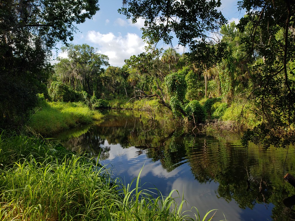 Photo: heytampa, CC BY 2.0 (via Flickr)
Palmetto Pass
~30 min drive
0.57-mile loop in Florida with 46 ft of elevation gain.

Map and trail data © OpenStreetMap contributors
