Massey Landing
- Mar–Jun, Aug–Nov
- best months
- At 4 ft
Massey Landing is a campground in Delaware at about 4 feet.
- Pot-Nets Dockside Boat RampBoat launch0.2 mi
- Massey's Landing Public Boat RampBoat launch0.2 mi
- Pot-Nets Seaside Boat RampBoat launch0.5 mi
 Delaware Seashore State ParkState parkPhoto: Jennifer Boyer from Maryland, USA, CC BY 2.0 (via Wikimedia Commons)1.3 mi
 Holts Landing State ParkState parkPhoto: en:User:SheepNotGoats Original uploader was SheepNotGoats at en.wikipedia, CC BY-SA 3.0 (via Wikimedia Commons)3.1 mi
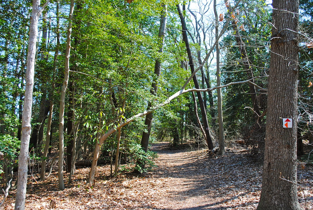 Purple TrailHikingPhoto: Lee Cannon, CC BY-SA 2.0 (via Flickr)3.7 mi
- Prickly Pear TrailMountain biking4 mi
- Prickly Pear Trail ConnectorMountain biking4.1 mi
Source: Roamze catalog (indexable pages within 10 miles, PostGIS distance)
 Cape Henlopen State Park CampgroundCamping · ~18 min drivePhoto: Lee Cannon — CC BY-SA 2.0 (via Flickr)
 Assateague State Park CampgroundCamping · ~48 min drivePhoto: pennuja — CC BY 2.0 (via Flickr)
- Massey's Landing CampgroundCamping · Next door
- Lighthouse Beach RV ResortCamping · ~3 min drive
- North Inlet CampgroundCamping · ~4 min drive
- South Inlet CampgroundCamping · ~4 min drive
- Pine Tree CampgroundCamping · ~8 min drive
- Holly Lake CampgroundCamping · ~10 min drive
- Holly Lake CampgroundCamping · ~11 min drive
- Big Oaks CampgroundCamping · ~14 min drive
Best time to visit Massey Landing
Best months: March–June and August–November. Best months have typical highs of 55–85 °F, lows of 30 °F or warmer (32 °F where the station doesn't record snow), at most one snowy day and no more than 12 wet days.
Jan
46° / 30°
11 wet
Feb
48° / 32°
10 wet
Mar
55° / 38°
11 wet
Apr
66° / 46°
11 wet
May
75° / 56°
11 wet
Jun
83° / 66°
10 wet
Jul
88° / 71°
10 wet
Aug
85° / 69°
9 wet
Sep
80° / 64°
9 wet
Oct
69° / 52°
10 wet
Nov
59° / 42°
10 wet
Dec
50° / 35°
12 wet
Typical high / low (°F) and days with rain or snow, 1991–2020. Measured at Lewes, DE, 11.3 mi away at 10 ft. This station doesn't record snowfall. Source: NOAA NCEI U.S. Climate Normals 1991–2020.
Map and trail data © OpenStreetMap contributors
