Camp Yankee Trails
Campground
Campground · 0.9 mi from the trail
Clear at last check
Weather is good · OpenWeather · checked 16 h ago
Ridge Loop Trail is a short, easy loop hike in Connecticut, about 1.3 miles from the town of Stafford Springs. The trail is 0.71 miles long, with a total elevation gain of 55 feet and a total loss of 117 feet, so it's a gentle walk that you can do in one direction or as a loop. The most comfortable months for a visit are late spring through early fall. Typical averages from a nearby weather station in Staffordville show May highs around 68°F and September highs around 73°F, with July the warmest at about 81°F. Several other trails sit close by. Valley Spur Trail is about 0.1 mile away and Esther's Loop about 0.2 mile. Woodlawn Trail is roughly 0.7 mile off, and Schofield Trail is about a mile away.
Camp Yankee Trails
Campground
 If it rainsTopshelvr, CC BY-SA 4.0 · Wikimedia Commons
Places © OpenStreetMap contributors · Photos: Topshelvr, CC BY-SA 4.0 (commons)
More in DanielsonBest months: April–October. Best months have typical highs of 55–85 °F, lows of 30 °F or warmer (32 °F where the station doesn't record snow), at most one snowy day and no more than 12 wet days.
Jan
34° / 14°
Feb
36° / 15°
Mar
44° / 22°
Apr
57° / 33°
May
68° / 43°
Jun
76° / 53°
Jul
81° / 59°
Aug
79° / 58°
Sep
73° / 51°
Oct
60° / 39°
Nov
49° / 30°
Dec
39° / 21°
Typical high / low (°F) and days with rain or snow, 1991–2020. Measured at Staffordville, CT, 4.9 mi away at 736 ft. This station doesn't record snowfall. Source: NOAA NCEI U.S. Climate Normals 1991–2020.
 Photo: randomduck, CC BY-SA 2.0 (via Flickr)
Shenipsit Forest Trail
~10 min drive
0.95-mile out-and-back trail in Connecticut with 230 ft gain.
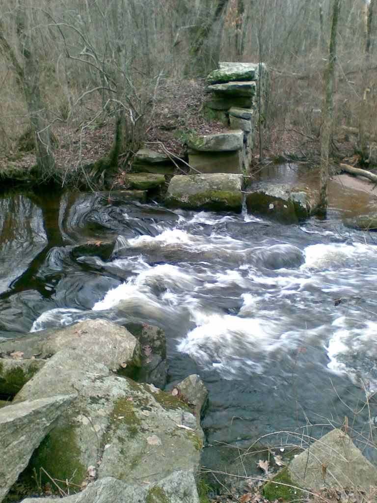 Photo: reivax, CC BY-SA 2.0 (via Flickr)
Yellow Trail
~10 min drive
0.58-mile point-to-point hike in Connecticut with 94 ft of elevation gain
Photo: reivax, CC BY-SA 2.0 (via Flickr)White Trail
~10 min drive
0.11-mile point-to-point trail in Connecticut with 10 ft gain
Photo: reivax, CC BY-SA 2.0 (via Flickr)Orange Trail
~10 min drive
0.91-mile loop trail in Connecticut with 126 ft gain.
 Photo: randomduck, CC BY-SA 2.0 (via Flickr)
Blue-Yellow Bypass Trail
~10 min drive
0.43-mile point-to-point trail in Connecticut with 75 ft gain.
HIKE
Esther's Loop
Next door
Esther's Loop is a 0.65-mile point-to-point trail in Connecticut.
HIKE
Woodlawn Trail
~1 min drive
1.28-mile point-to-point trail in Connecticut with 243 ft gain and 504 ft loss.
HIKE
Beaver Trail
~2 min drive
0.47-mile point-to-point trail in Connecticut with 364 ft gain.
HIKE
Schofield Trail
~2 min drive
0.54-mile point-to-point trail in Connecticut with 318 ft gain
HIKE
Balanced Boulder Trail
~2 min drive
1.13-mile loop trail in Connecticut with 211 ft of elevation gain.
Map and trail data © OpenStreetMap contributors

