Del-Aire Compground
Campground
Campground · 3.0 mi from the trail
Loop Trail is a short, easy hike in Connecticut, about a mile long and roughly 1.4 miles from the town of Tolland. The trail rises from about 650 feet to a high point of 661 feet, with a total elevation gain of 118 feet, and the steepest stretch comes early on, around 0.19 miles in, with an 8% grade. Summer and early fall are the most comfortable times to go. Typical averages from a nearby weather station in Storrs show July highs around 80°F and September highs near 73°F, with lows in the 50s and 60s. The hike takes about half an hour. The Ct Path lies less than a mile away, and the Ridge Trail is about 1.3 miles off. Mountain bikers can head to Pedal Power, about 1.5 miles away, and paddlers will find the Middle River roughly 7 miles from the trail.
Del-Aire Compground
Campground
Tolland Pizza
Restaurant
 If it rainsRosaSeaOtter, CC0 · Wikimedia Commons
Sports museum in Connecticut, United States
Places © OpenStreetMap contributors · Photos: RosaSeaOtter, CC0 (commons)
More in DanielsonBest months: April and June–October. Best months have typical highs of 55–85 °F, lows of 30 °F or warmer (32 °F where the station doesn't record snow), at most one snowy day and no more than 12 wet days.
Jan
35° / 19°
10 wet
Feb
37° / 20°
9 wet
Mar
45° / 28°
10 wet
Apr
57° / 38°
11 wet
May
68° / 48°
13 wet
Jun
76° / 57°
11 wet
Jul
80° / 63°
10 wet
Aug
79° / 61°
9 wet
Sep
73° / 54°
9 wet
Oct
61° / 43°
10 wet
Nov
50° / 34°
9 wet
Dec
40° / 25°
10 wet
Typical high / low (°F) and days with rain or snow, 1991–2020. Measured at Storrs, CT, 9.1 mi away at 665 ft. This station doesn't record snowfall. Source: NOAA NCEI U.S. Climate Normals 1991–2020.
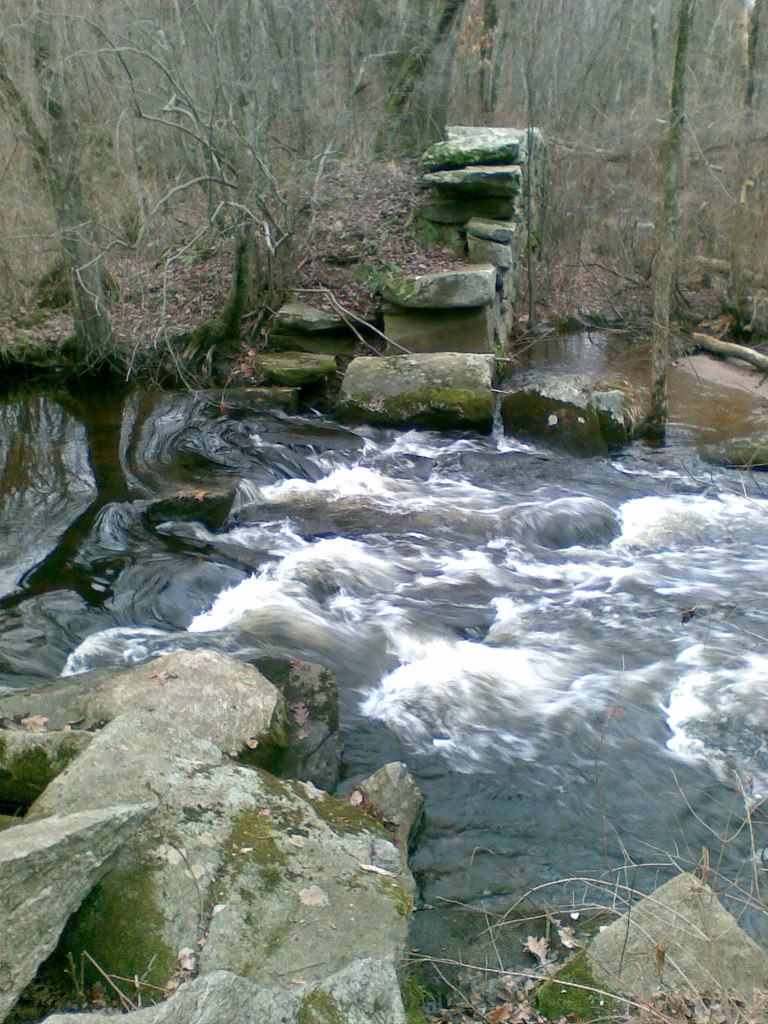 Photo: reivax, CC BY-SA 2.0 (via Flickr)
Yellow Trail
~5 min drive
0.58-mile point-to-point hike in Connecticut with 94 ft of elevation gain
Photo: reivax, CC BY-SA 2.0 (via Flickr)Orange Trail
~5 min drive
0.91-mile loop trail in Connecticut with 126 ft gain.
Photo: reivax, CC BY-SA 2.0 (via Flickr)White Trail
~5 min drive
0.11-mile point-to-point trail in Connecticut with 10 ft gain
 Photo: randomduck, CC BY-SA 2.0 (via Flickr)
Shenipsit Forest Trail
~10 min drive
0.95-mile out-and-back trail in Connecticut with 230 ft gain.
 Photo: randomduck, CC BY-SA 2.0 (via Flickr)
Blue-Yellow Bypass Trail
~10 min drive
0.43-mile point-to-point trail in Connecticut with 75 ft gain.
HIKE
Ct Path
~1 min drive
0.45-mile point-to-point trail in Connecticut with 148 ft elevation gain
HIKE
Blue Loop
~2 min drive
0.30-mile point-to-point trail in Connecticut with 74 ft of elevation gain.
HIKE
Ridge Trail
~2 min drive
Quick point-to-point ridge walk through Connecticut woodland.
HIKE
Loop Trail
~2 min drive
Quick 1-mile point-to-point trail in Connecticut.
HIKE
Loop Trail
~3 min drive
1.36-mile loop trail in Connecticut with 155 ft gain.
Map and trail data © OpenStreetMap contributors

