
Mountain · 1 route
Irving Peak
13,210 ft · Colorado
Photo: Jeremiah LaRocco, CC BY-SA 2.0 (via Wikimedia Commons)
- Summit
- 13,210 ft
- Routes
- 1 way up
- Managed by
- Forest Service
Route up Irving Peak
About Irving Peak
Irving Peak is a 13,210-foot summit in La Plata County, Colorado, inside the Weminuche Wilderness. It lies within the Columbine Ranger District of the San Juan National Forest, which the Forest Service manages, and the nearest town is Silverton, about 17 miles away. Johnson Creek is the closest neighbor at about 1.4 miles, and Vallecito Creek offers canoeing about 2.4 miles away. For more hiking, Rock Creek is about 2.9 miles off and Vallecito is about 3.7 miles off.
Forecast on Irving Peak
Daily highs and lows, wind and the chance of precipitation at the summit and bear creek/hunchback pass/kite lake th for the next 7 days, from the Open-Meteo model.
Questions about Irving Peak
How tall is Irving Peak?
13,210 ft (4,026 m).
How many routes go to the summit of Irving Peak?
One: Irving Peak.
Where do the routes up Irving Peak start?
Irving Peak starts at Bear Creek/Hunchback Pass/Kite Lake TH.
Mountains nearby
- Mount Oso13,678 ft · Colorado1 route1.2 mi away
- Peters Peak13,126 ft · Colorado1 route2.0 mi away
- McCauley Peak13,540 ft · Colorado1 route3.8 mi away
- Grizzly Peak13,683 ft · Colorado1 route4.0 mi away
- Mount Valois13,170 ft · Colorado1 route4.3 mi away
 Jupiter Mountain13,818 ft · Colorado1 route4.7 mi awayPhoto: Jeremiah LaRocco, CC BY-SA 2.0 (via Wikimedia Commons)
Facts about this place
Where it is
- Weminuche Wilderness · Wilderness
- Columbine Ranger District · Ranger district
- San Juan National Forest · National forest
- Nearest town
- Silverton, Colorado · 17 mi
- Managed by
- Forest Service
Source: Wilderness.net boundaries; USFS EDW boundaries; USGS PAD-US 4.1; USGS GNIS populated places
Conditions
Active alerts for Columbine Ranger District as of Oct 9, 2026:
La Plata Canyon Camping and Fire Restrictions
information · posted Aug 24, 2026
Andrews Lake Camping Restrictions
information · posted Aug 24, 2026
Purgatory Ski Resort Area Vehicle Use Restrictions
information · posted Aug 24, 2026
caution · posted Aug 24, 2026
information · posted Aug 24, 2026
Falls Creek Closure Area, Camping, and Motor Vehicle Travel Restrictions
information · posted Aug 24, 2026
Mainstem Hermosa Creek Culvert Installation Project Area Closure
information · posted Aug 24, 2026
Mainstem Hermosa Creek Culvert Installation Project NFSR 578 Road Closure
information · posted Aug 24, 2026
Source: USFS forest alerts
Nearby
- Johnson CreekHiking1.4 mi
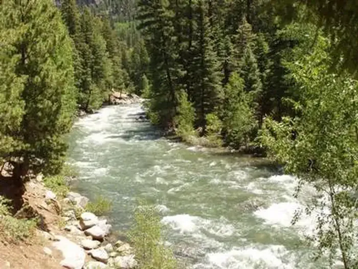
- Vallecito CreekCanoeing2.4 mi
- Rock CreekHiking2.9 mi
- VallecitoHiking3.7 mi
- The NeedlesRock climbing5.9 mi
- The Pope's NoseRock climbing6.2 mi
 Vallecito CampgroundCampingPhoto: Recreation.gov (RIDB) / public domain8.3 mi
 Los Pinos RiverCanoeingPhoto: Jeffrey Beall, CC BY 4.0 (via Wikimedia Commons)8.6 mi
Source: Roamze catalog (indexable pages within 10 miles, PostGIS distance)
Is Irving Peak open right now?
Closure in the area
There's a closure order in San Juan National Forest. It doesn't name Irving Peak, so check the source for the area it covers (2 listed).
Closures and dangerous conditions on roads, bridges, and trails from flooding
Agency closure covering San Juan National Forest · USFS · San Juan National Forest
Multiple roads and trails damaged by flooding on SJNF
Agency closure covering San Juan National Forest · USFS · San Juan National Forest
Bear Activity High Across San Juan National Forest
Agency alert covering San Juan National Forest · USFS · San Juan National Forest
Cascade Flume Safety Closure
Agency alert covering Columbine Ranger District · Order 02-13-08-25-07 · USFS · Columbine Ranger District
As of · Source: USFS · San Juan National Forest. Agencies don't list every closure — check before you go.
