Land of the Lost
Land of the Lost in Colorado has 10 bouldering routes across 9 difficulty grades.
- 10 routes
- V0 – V8-9
- Bouldering
Best time to visit Land of the Lost
Best months: April–June and September–October. Best months have typical highs of 55–85 °F, lows of 30 °F or warmer (32 °F where the station doesn't record snow), at most one snowy day and no more than 12 wet days.
Jan
47° / 21°
6 wet
Feb
48° / 22°
7 wet
Mar
57° / 29°
8 wet
Apr
63° / 34°
10 wet
May
71° / 43°
12 wet
Jun
83° / 51°
10 wet
Jul
88° / 57°
11 wet
Aug
86° / 55°
10 wet
Sep
79° / 48°
8 wet
Oct
66° / 37°
7 wet
Nov
54° / 28°
6 wet
Dec
46° / 21°
6 wet
Typical high / low (°F) and days with rain or snow, 1991–2020. Measured at Boulder, CO, 1.6 mi away at 5,484 ft. The station sits about 1,200 ft lower than this place, so expect it a little cooler here. This station doesn't record snowfall. Source: NOAA NCEI U.S. Climate Normals 1991–2020.
Land of the Lost is a bouldering area on city land in Colorado, about a tenth of a mile from the Central and Red Devil climbing areas. It sits in Boulder, where the surrounding area is a cluster of climbing spots, trails and waterways. The area is a bouldering destination, with 10 routes spread across the site. All are boulders, and the grades range from V0 to V8-9, with the median around V3-4. Ankylosaurus is the easiest at V0, and Three Shots is the hardest at V8-9. Muffin Time and Caillou on Crack sit in the middle of that range. For timing, late spring and early fall are the most comfortable. Typical averages from a nearby weather station in Boulder show May highs around 71°F and September highs around 79°F, while July averages climb to about 88°F. The Mallory Cave Trail and Mesa Trail are both about 0.3 miles away. Boulder Creek, a paddling spot, is about 2.7 miles off, and Winiger Ridge campground is about 4.7 miles away.
Keep exploring — more climbs worth the drive
 Photo: kalestews, CC BY 2.0 (via Flickr)
Central
~0 min drive
Central in Colorado has 53 climbing routes across 25 difficulty grades.
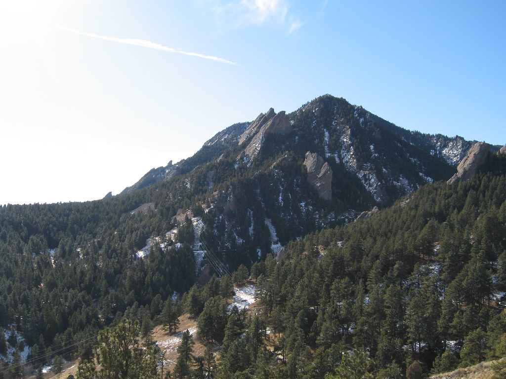 Photo: laurascudder, CC BY-SA 2.0 (via Flickr)
Red Devil
~0 min drive
Red Devil in Colorado has 9 climbing routes across 8 grades, offering sport and trad options.
 Photo: Christian Collins, CC BY-SA 2.0 (via Flickr)
Achean Pronouncement
~0 min drive
Achean Pronouncement is a climbing crag in Colorado with 8 routes.
Photo: laurascudder, CC BY-SA 2.0 (via Flickr)Elevated Boulder
~0 min drive
Elevated Boulder in Colorado has 5 bouldering routes with 4 distinct difficulty grades.
Photo: Christian Collins, CC BY-SA 2.0 (via Flickr)Skunk Canyon
~0 min drive
Skunk Canyon in Colorado has 3 climbing routes across 3 difficulty grades, offering sport and trad options.
Photo: laurascudder, CC BY-SA 2.0 (via Flickr)The Hand
~0 min drive
The Hand in Colorado has 13 routes with 12 difficulty grades, offering mixed and sport climbing.
Photo: kalestews, CC BY 2.0 (via Flickr)Babyhorn
~0 min drive
Babyhorn in Colorado has 7 climbing routes across 5 grades, offering bouldering pads, sport, and trad.
 Photo: dreid1987, CC BY 3.0 (via Wikimedia Commons)
The North Ridge (of Dinosaur Mountain).
~0 min drive
7 trad climbing routes on Dinosaur Mountain's North Ridge in Colorado.
 Photo: Ty Nigh, CC BY 2.0 (via Flickr)
Square Rock
~0 min drive
Square Rock in Colorado has 6 routes with 6 difficulty grades, offering bouldering, sport, and trad climbing.
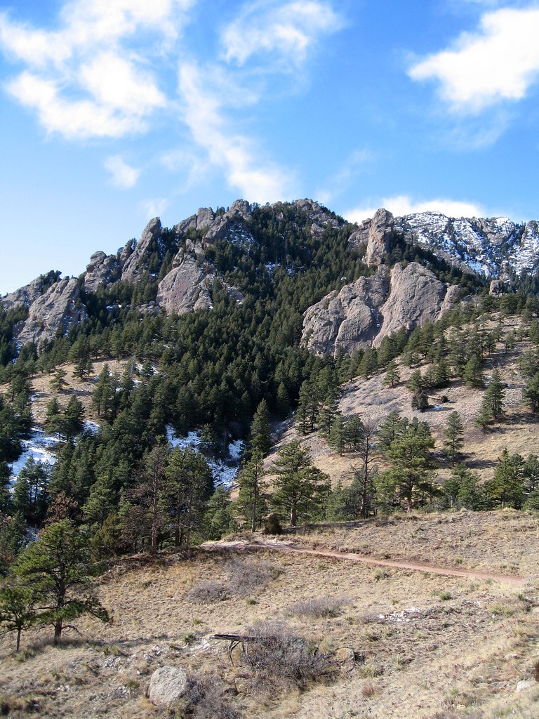 Photo: laurascudder, CC BY-SA 2.0 (via Flickr)
Fi
~0 min drive
Fi is a Colorado climbing crag with 5 routes, 4 difficulty grades, and trad climbing.

