Finger Flatiron
Finger Flatiron in Colorado has 15 climbing routes with 14 difficulty grades.
- 15 routes
- 5.4 – 5.12b
- Sport · Trad · Mixed
Best time to visit Finger Flatiron
Best months: May–September. Best months have typical highs of 55–85 °F, lows of 30 °F or warmer (32 °F where the station doesn't record snow), at most one snowy day and no more than 12 wet days.
Jan
39° / 17°
5 wet
Feb
40° / 17°
5 wet
Mar
47° / 22°
6 wet
Apr
52° / 27°
8 wet
May
61° / 35°
10 wet
Jun
73° / 44°
9 wet
Jul
79° / 50°
10 wet
Aug
77° / 48°
11 wet
Sep
70° / 41°
8 wet
Oct
57° / 31°
6 wet
Nov
47° / 24°
5 wet
Dec
40° / 17°
5 wet
Typical high / low (°F) and days with rain or snow, 1991–2020. Measured at Gross Rsvr, CO, 4.1 mi away at 7,970 ft. The station sits about 1,000 ft higher than this place, so expect it a little warmer here. This station doesn't record snowfall. Source: NOAA NCEI U.S. Climate Normals 1991–2020.
Finger Flatiron is a climbing area on city land in Colorado, sitting among a cluster of other climbing spots. The Hand and The Box both lie about 0.1 mile away, and the Mallory Cave Trail and Mesa Trail are each about 0.4 mile off, so the area works well as a base for a day of climbing and hiking. The climbing here is a mix of sport and trad routes, with 15 routes in total. The grades run from 5.4 up to 5.12b, and the hardest of them, Patience, is a sport route at 5.12b. The East Face/Finger Flatiron is a trad route at 5.4, and the Northwest Corner, a trad route at 5.8+, was first climbed by Roger Briggs in 1969. Summer is the most comfortable time to visit. Typical averages from a nearby weather station show July highs around 79°F with lows near 50°F, while winter highs sit in the low 40s. That station sits about 1,000 feet below the area, so temperatures on the rock run cooler. For more time outdoors, Boulder Creek offers canoeing about 2.8 miles away, and Winiger Ridge campground is about 4.7 miles off.
Routes (15)
Keep exploring — more climbs worth the drive
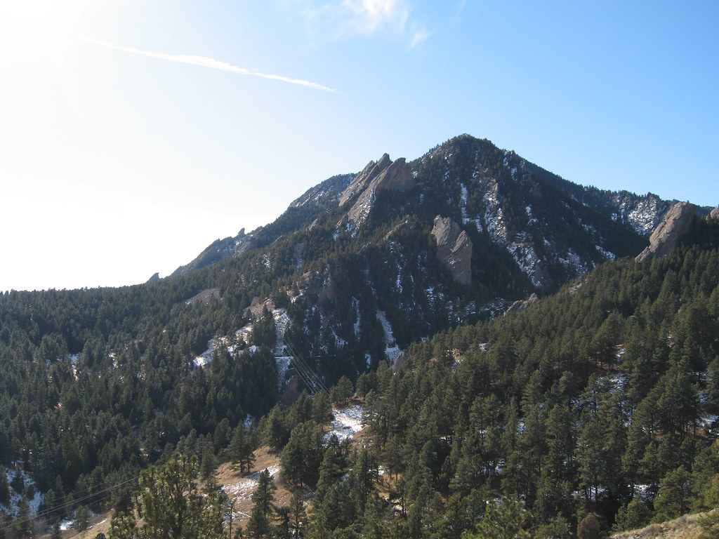 Photo: laurascudder, CC BY-SA 2.0 (via Flickr)
The Hand
~0 min drive
The Hand in Colorado has 13 routes with 12 difficulty grades, offering mixed and sport climbing.
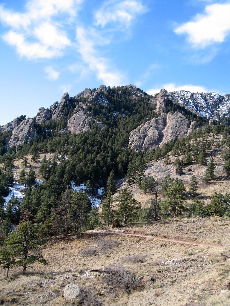 Photo: laurascudder, CC BY-SA 2.0 (via Flickr)
Fi
~0 min drive
Fi is a Colorado climbing crag with 5 routes, 4 difficulty grades, and trad climbing.
Photo: laurascudder, CC BY-SA 2.0 (via Flickr)Fee
~0 min drive
Fee in Colorado has 5 climbing routes with 5 difficulty grades, offering bouldering pads, sport, and trad.
Photo: laurascudder, CC BY-SA 2.0 (via Flickr)Red Devil
~0 min drive
Red Devil in Colorado has 9 climbing routes across 8 grades, offering sport and trad options.
 Photo: kalestews, CC BY 2.0 (via Flickr)
Central
~0 min drive
Central in Colorado has 53 climbing routes across 25 difficulty grades.
Photo: laurascudder, CC BY-SA 2.0 (via Flickr)Der Freischutz
~0 min drive
Der Freischutz in Colorado has 16 mixed routes graded 5.6 to 5.12a.
Photo: laurascudder, CC BY-SA 2.0 (via Flickr)Elevated Boulder
~0 min drive
Elevated Boulder in Colorado has 5 bouldering routes with 4 distinct difficulty grades.
 Photo: laurascudder, CC BY-SA 2.0 (via Flickr)
Stonehenge
~0 min drive
Stonehenge in Colorado has 5 climbing routes with mixed, sport, and trad styles.
Photo: kalestews, CC BY 2.0 (via Flickr)Babyhorn
~0 min drive
Babyhorn in Colorado has 7 climbing routes across 5 grades, offering bouldering pads, sport, and trad.
Photo: laurascudder, CC BY-SA 2.0 (via Flickr)South Ridge
~0 min drive
South Ridge in Colorado has 8 climbing routes across 7 grades, offering sport and trad options.


