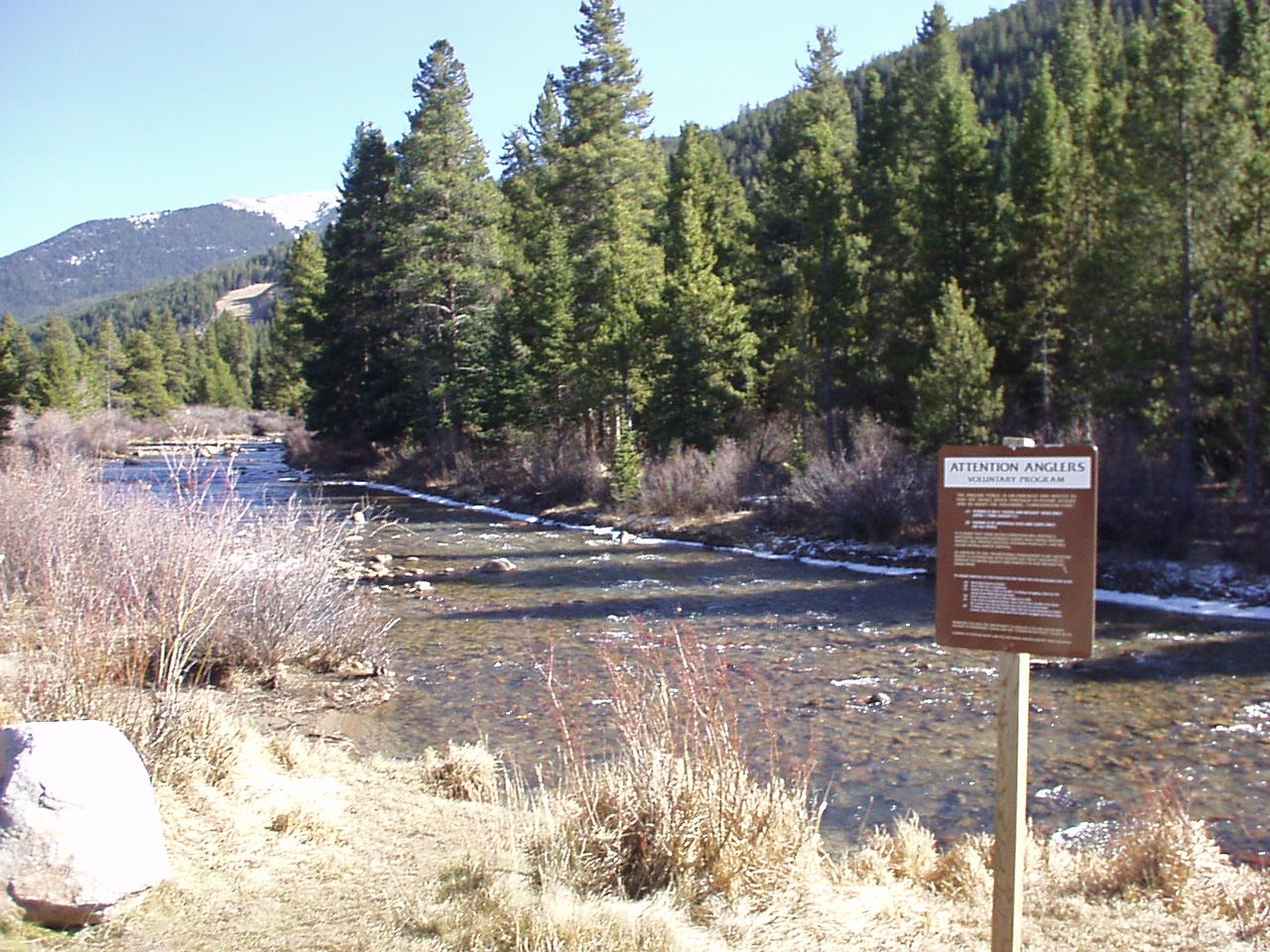
The Alpenglow Wall
Alpenglow Wall, The in Colorado has 7 routes, offering sport and trad climbing.
- 7 routes
- 5.7+ – 5.12a
- Sport · Trad
Is Alpenglow Wall, The open right now?
Closure in the area
There's a closure order in White River National Forest. It doesn't name Alpenglow Wall, The, so check the source for the area it covers (2 listed).
Green Mountain Reservoir and Ruedi boat ramps closed for the season
Agency closure covering White River National Forest · USFS · White River National Forest
Eagle-Thomasville (400), Burnt Mtn (506), plus NFSR 414 and 416 openings delayed to June 16
Agency closure covering White River National Forest · USFS · White River National Forest
FSR 314, Crystal River Road, open but be prepared for delays
Agency alert covering White River National Forest · USFS · White River National Forest
FSR 286, Radical Hill, is closed due to washouts and unsafe conditions
Agency alert covering White River National Forest · USFS · White River National Forest
White River National Forest lifting fire restrictions on Friday Sept. 25
Agency alert covering White River National Forest · Order 2026 · USFS · White River National Forest
As of · Source: USFS · White River National Forest. Agencies don't list every closure — check before you go.
Best time to visit The Alpenglow Wall
Best months: June and September. Best months have typical highs of 55–85 °F, lows of 30 °F or warmer (32 °F where the station doesn't record snow), at most one snowy day and no more than 12 wet days.
Jan
32° / 12°
8 wet
Feb
31° / 11°
8 wet
Mar
38° / 17°
9 wet
Apr
43° / 23°
10 wet
May
53° / 31°
9 wet
Jun
64° / 40°
9 wet
Jul
69° / 46°
13 wet
Aug
67° / 44°
14 wet
Sep
61° / 38°
10 wet
Oct
50° / 29°
7 wet
Nov
39° / 19°
7 wet
Dec
32° / 12°
8 wet
Typical high / low (°F) and days with rain or snow, 1991–2020. Measured at Cabin Creek, CO, 11.5 mi away at 10,020 ft. This station doesn't record snowfall. Source: NOAA NCEI U.S. Climate Normals 1991–2020.
The Alpenglow Wall is a climbing area in Colorado's White River National Forest, within the Dillon Ranger District. The Forest Service manages the surrounding land. Summer is the most comfortable season to climb. Typical averages from a nearby weather station at Cabin Creek, at nearly the same elevation, show July highs around 69°F and lows near 46°F. July and August also bring the most wet days of the year. They also note that water is not available at several campgrounds, including Lowry and Prospector. Oasis Boulder and Seam Boulder sit about 0.1 mile away, and the Snake River is roughly 1.2 miles off. For an overnight stay, Lowry Campground is about 6 miles away.
Routes (7)
Keep exploring — more climbs worth the drive
 Photo: tkksummers, CC BY-SA 2.0 (via Flickr)
Mount Royal (near Frisco)
~18 min drive
Mount Royal (near Frisco) in Colorado has 5 climbing routes across 4 grades, offering sport and trad styles.
Oasis Boulder
~0 min drive
Oasis Boulder in Colorado has 13 bouldering routes across 9 difficulty grades.
Seam Boulder
~0 min drive
Seam Boulder in Colorado has 5 bouldering routes with 5 distinct difficulty grades.
Hummingbird Boulders
~0 min drive
Hummingbird Boulders in Colorado has 11 routes with 11 distinct difficulty grades.
Haus Rock
~0 min drive
Haus Rock in Colorado has 28 climbing routes with 18 difficulty grades, offering bouldering pads, mixed, sport, and trad styles.
Zuma Rock
~0 min drive
Zuma Rock in Colorado has 13 climbing routes across 8 grades, featuring mixed, sport, and trad styles.
Morning Glory Wall
~1 min drive
Morning Glory Wall in Colorado has 27 climbing routes with 16 difficulty grades.
Lost Wall
~2 min drive
Lost Wall in Colorado has 8 climbing routes across 8 difficulty grades.
Loveland Pass Area
~2 min drive
Loveland Pass Area in Colorado has 2 sport climbing routes.
Keystone a.k.a. Montezuma
~4 min drive
Keystone a.k.a. Montezuma in Colorado has 14 climbing routes across 10 grades, featuring bouldering pads, sport, and trad.