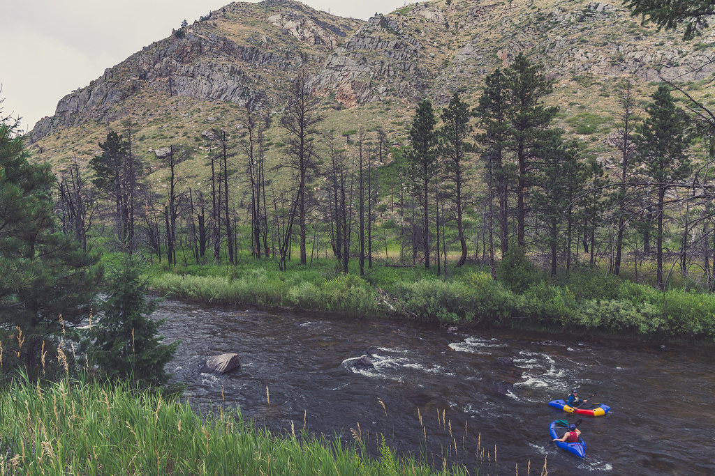
Young Gulch
5.28-mile out-and-back trail in Colorado with 1,210 ft of elevation gain.
- 5.3 mi
- round trip
- 1,210 ft
- climb
- Out and back
- route
Best time to visit Young Gulch
Best months: May–October. Best months have typical highs of 55–85 °F, lows of 30 °F or warmer (32 °F where the station doesn't record snow), at most one snowy day and no more than 12 wet days.
Jan
40° / 21°
5 wet
Feb
40° / 20°
6 wet
Mar
47° / 26°
8 wet
Apr
51° / 30°
10 wet
May
60° / 39°
12 wet
Jun
72° / 49°
11 wet
Jul
79° / 56°
11 wet
Aug
78° / 55°
11 wet
Sep
70° / 47°
8 wet
Oct
57° / 36°
7 wet
Nov
47° / 28°
6 wet
Dec
40° / 20°
6 wet
Typical high / low (°F) and days with rain or snow, 1991–2020. Measured at Buckhorn Mtn 1 E, CO, 5.7 mi away at 7,400 ft. We don't have this place's elevation, so higher spots nearby can run cooler. This station doesn't record snowfall. Source: NOAA NCEI U.S. Climate Normals 1991–2020.
Young Gulch is a 5.28-mile out-and-back trail in Colorado managed by the Forest Service with 1,210 feet of elevation gain.
Keep exploring — more rides worth the drive
 Photo: Forest Service Photography, Public domain (via Wikimedia Commons)
Granite Ridge
~19 min drive
7.34-mile trail in Colorado with 915 ft of elevation gain
 Photo: Tony Webster, CC BY 2.0 (via Wikimedia Commons)
Disappointment Falls
~20 min drive
0.62-mile trail near 40.8°N 105.5°W in Colorado, 126 ft elevation gain
Photo: Forest Service Photography, Public domain (via Wikimedia Commons)Lady Moon
~20 min drive
2.77-mile trail near 40.8°N 105.5°W with 335 ft gain
 Photo: Forest Service Photography, Public domain (via Wikimedia Commons)
Lady Moon Loop
~21 min drive
1.10-mile trail near 40.8°N 105.5°W in Colorado with 190 ft elevation gain.
 Photo: KimonBerlin, CC BY-SA 2.0 (via Wikimedia Commons)
Mount Margret Stock Bypass
~21 min drive
Mount Margret Stock Bypass is a 0.07-mile trail in Colorado.
 Photo: KimonBerlin, CC BY-SA 2.0 (via Wikimedia Commons)
Frog Pond
~22 min drive
2.76-mile trail in Colorado with 138 ft elevation gain.
Photo: Forest Service Photography, Public domain (via Wikimedia Commons)Molly Moon
~22 min drive
Molly Moon is a 2.12-mile trail in Colorado with 324 ft of elevation gain.
 Photo: KimonBerlin, CC BY-SA 2.0 (via Wikimedia Commons)
Columbine North Loop
~22 min drive
Columbine North Loop is a 0.71-mile trail near 40.8°N 105.5°W in Colorado.
 Photo: KimonBerlin, CC BY-SA 2.0 (via Wikimedia Commons)
East Dowdy Lake
~22 min drive
East Dowdy Lake is a 1.47-mile trail in Colorado with 263 ft of elevation gain.
Photo: KimonBerlin, CC BY-SA 2.0 (via Wikimedia Commons)Frog Pond West Loop
~22 min drive
0.41-mile trail in Colorado near 40.8°N 105.5°W
Also worth it near here